| area | / photo |
|---|
|
2
|
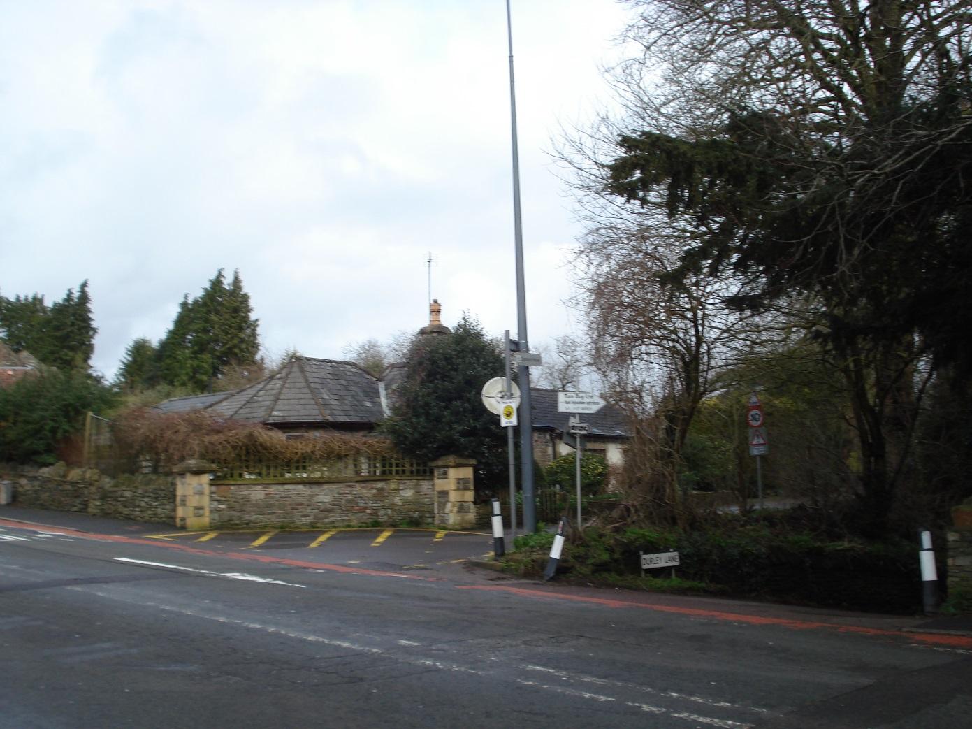
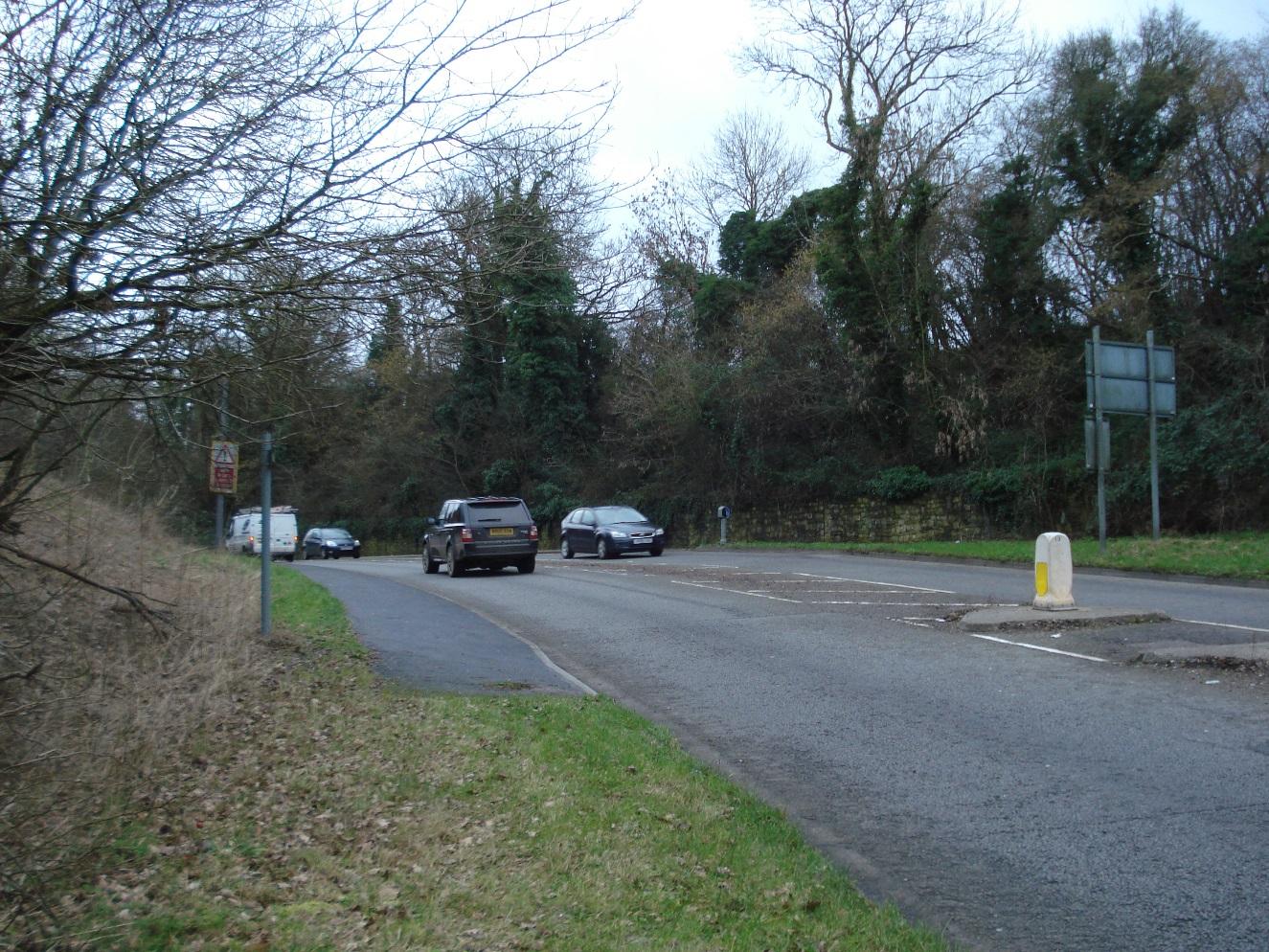
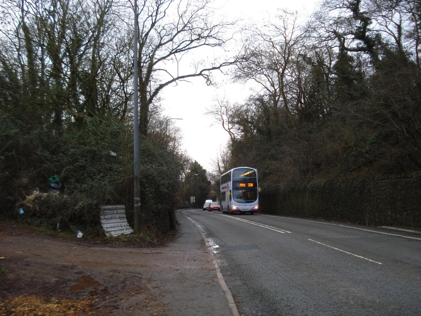
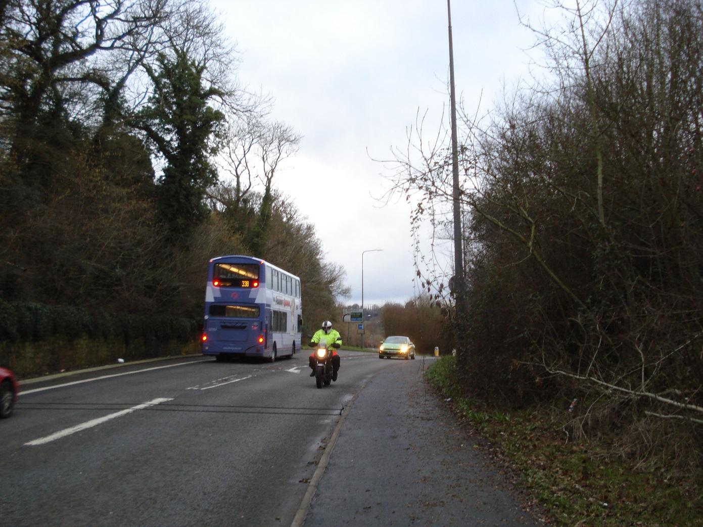
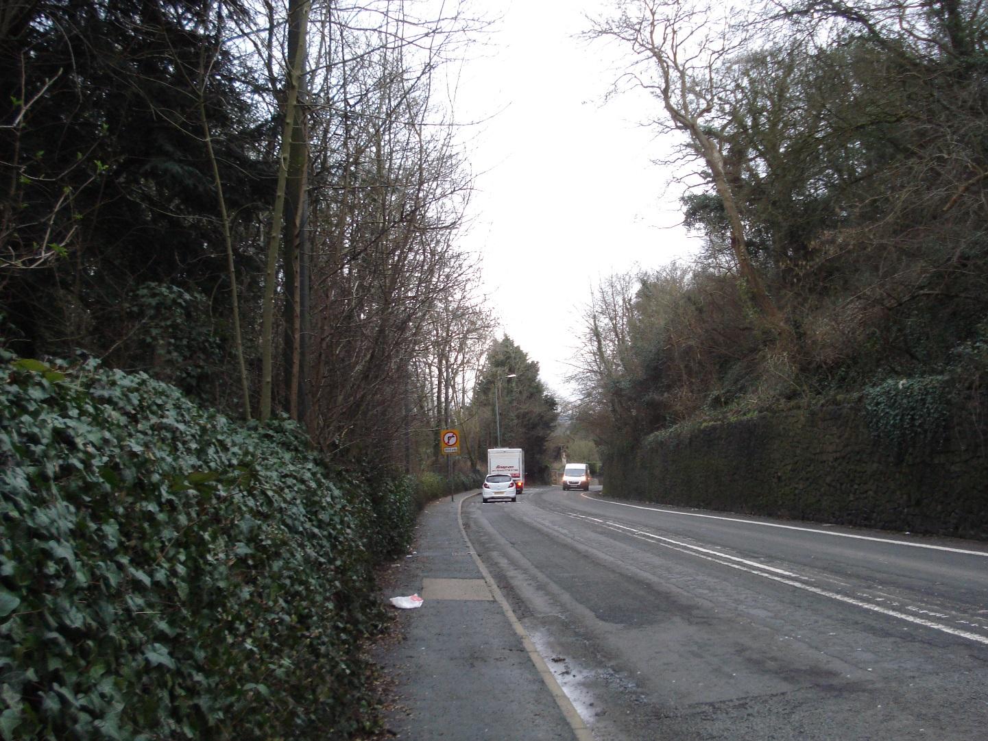
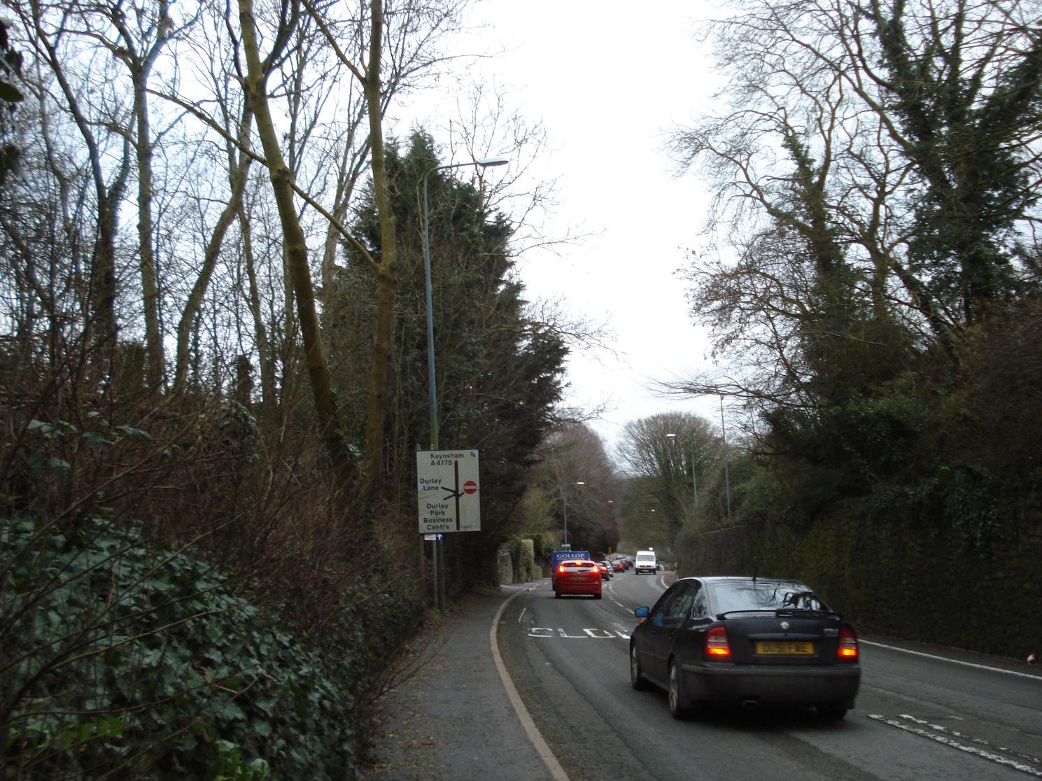
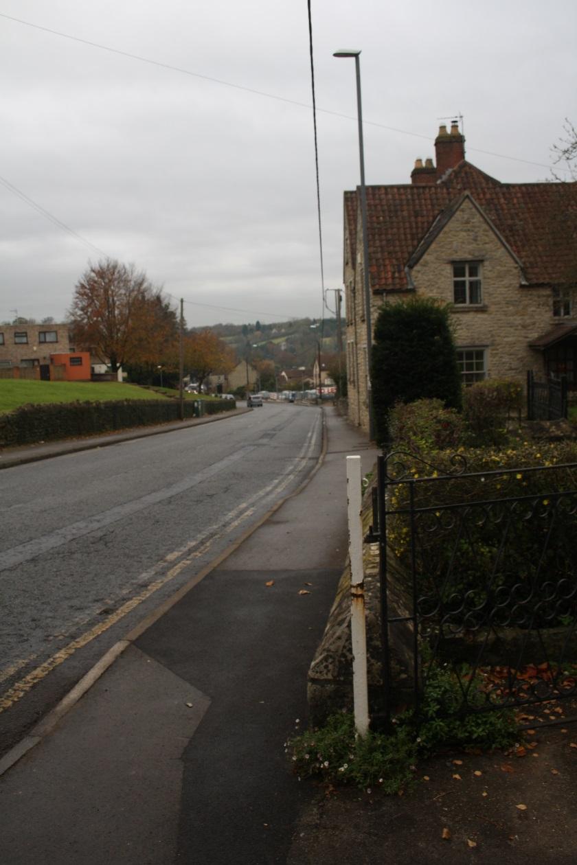
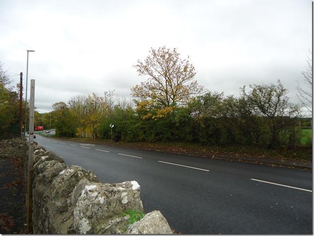
Junction of Bristol Hill (A4175) with Durley Lane
|
|
2
|
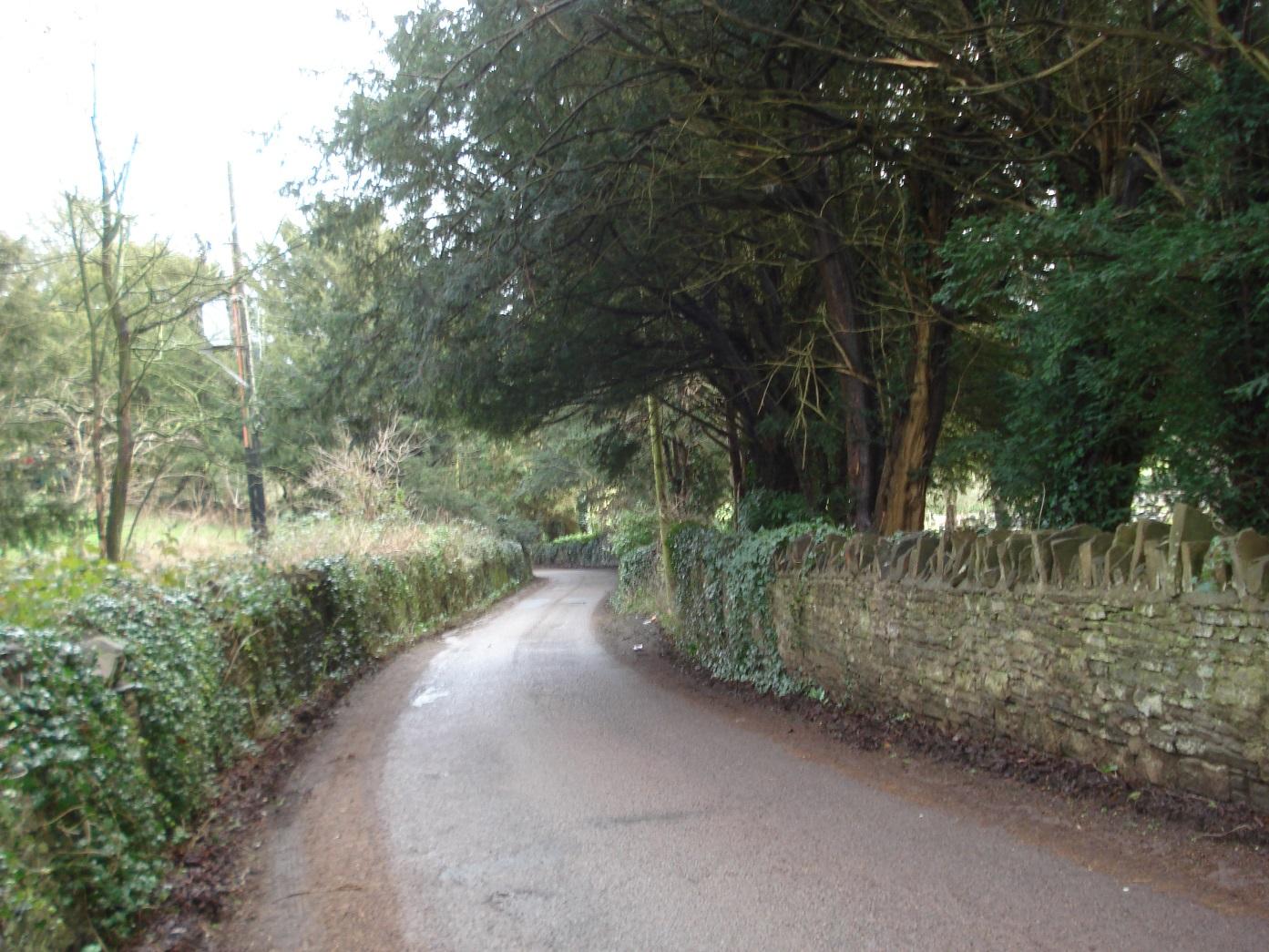
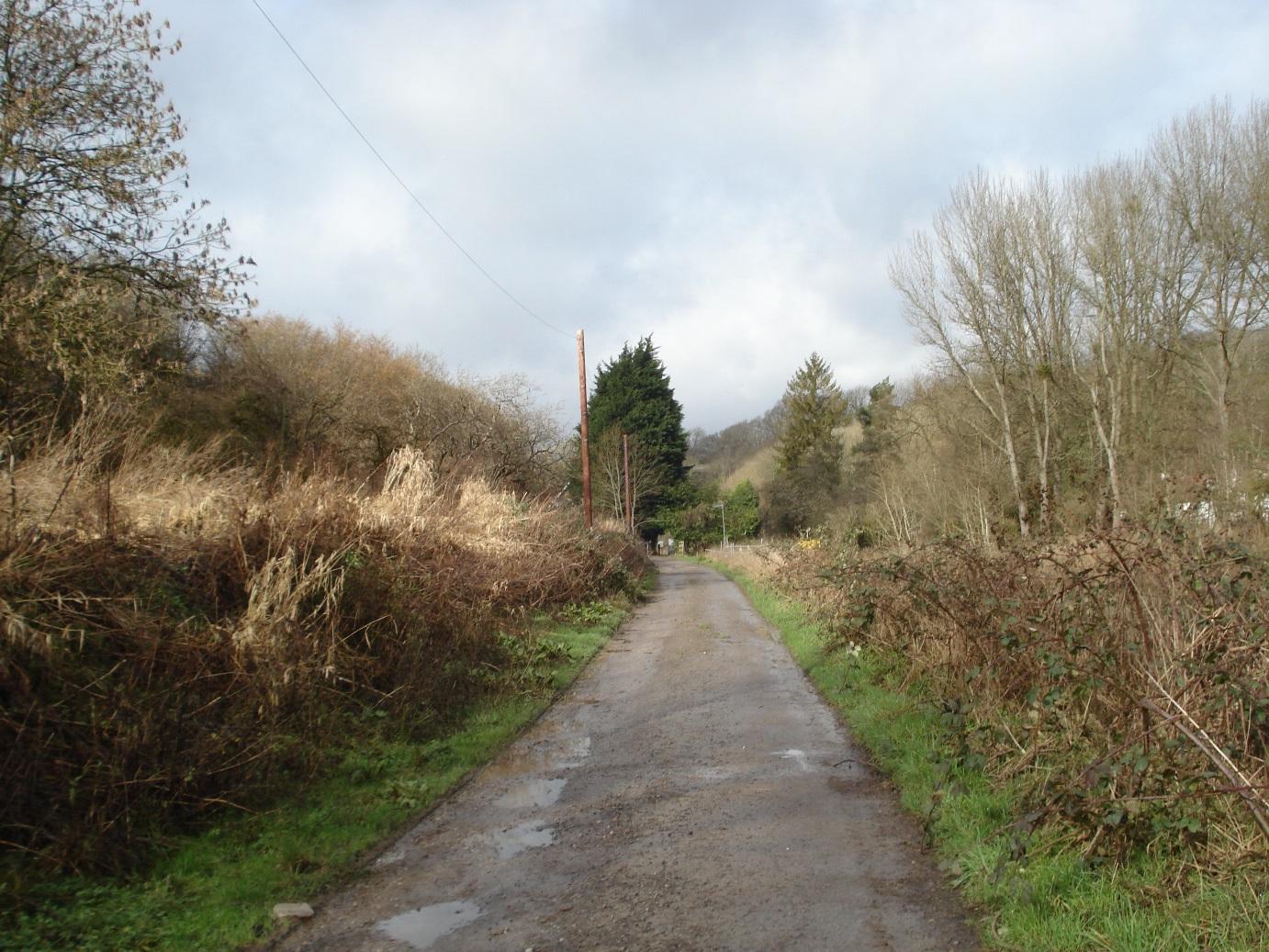
Durley Lane
|
|
2
|
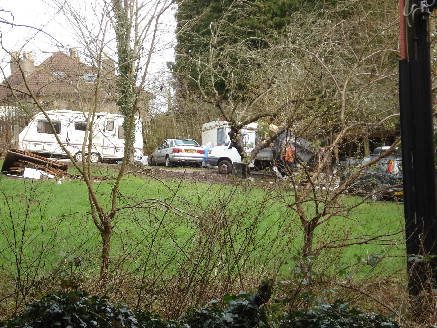
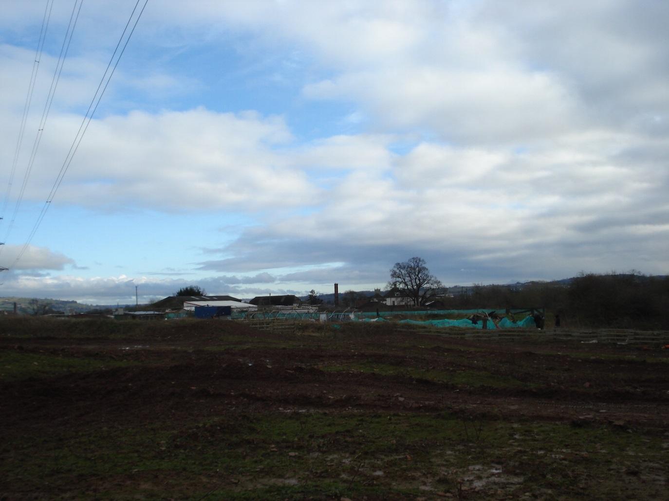
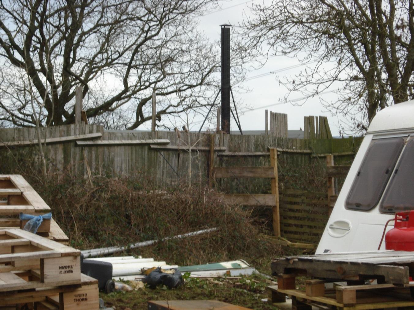
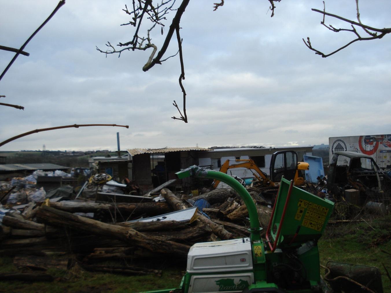
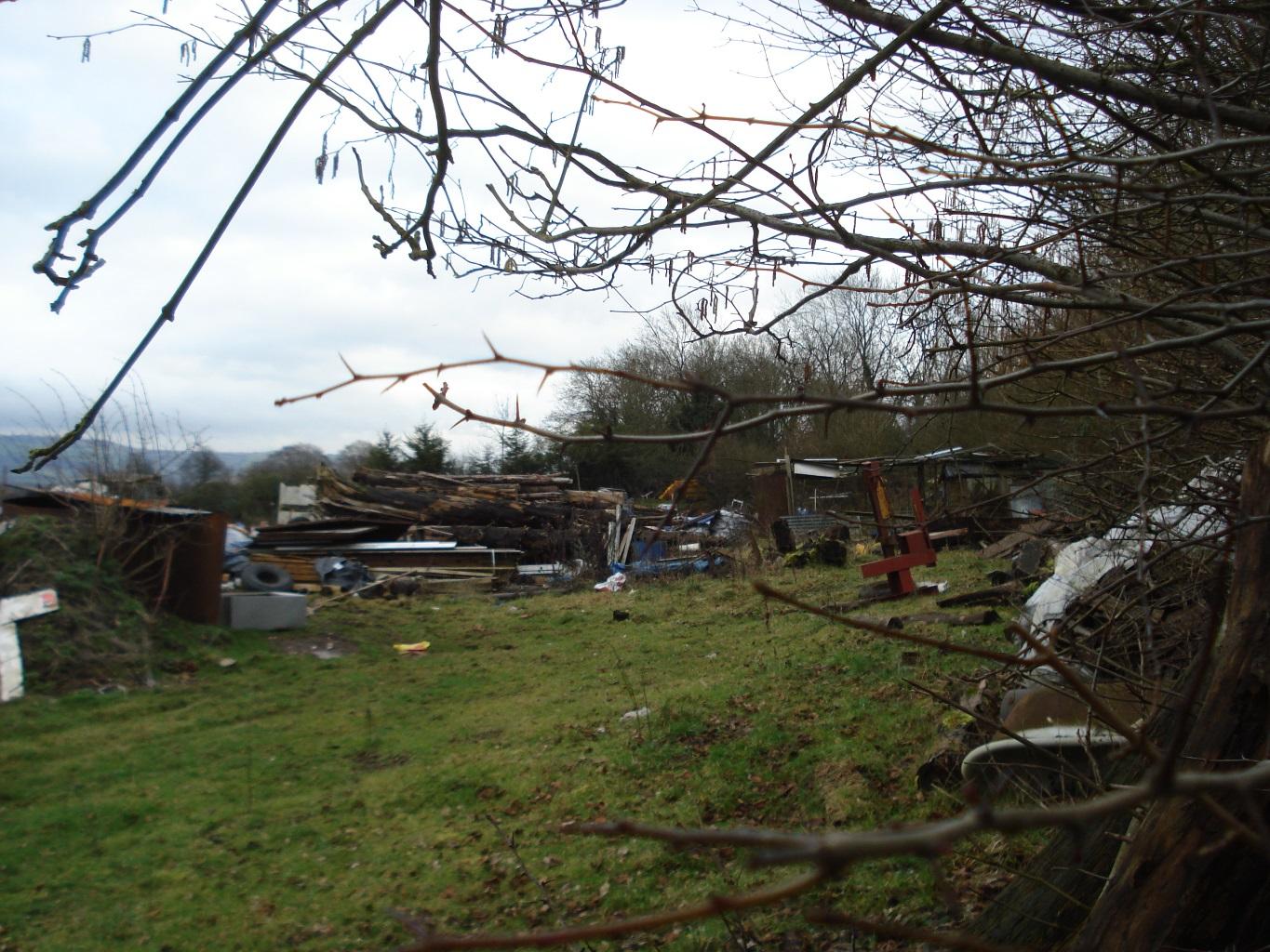
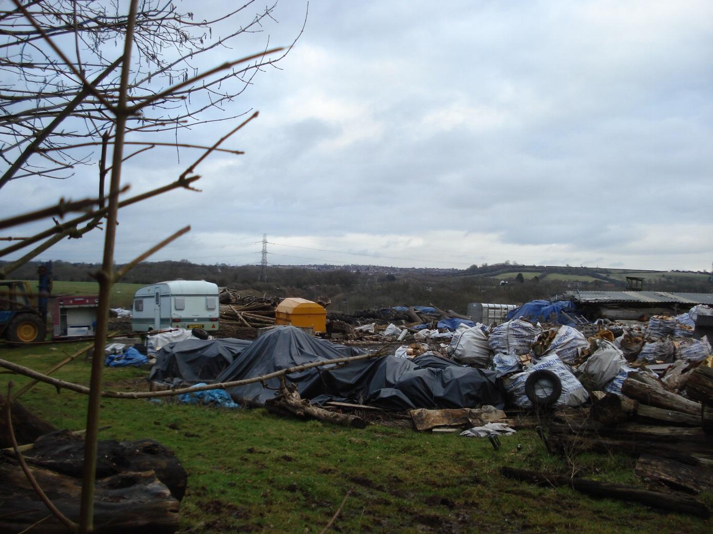
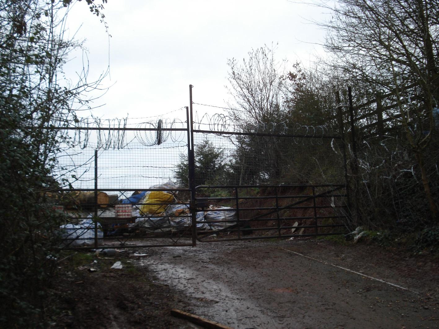
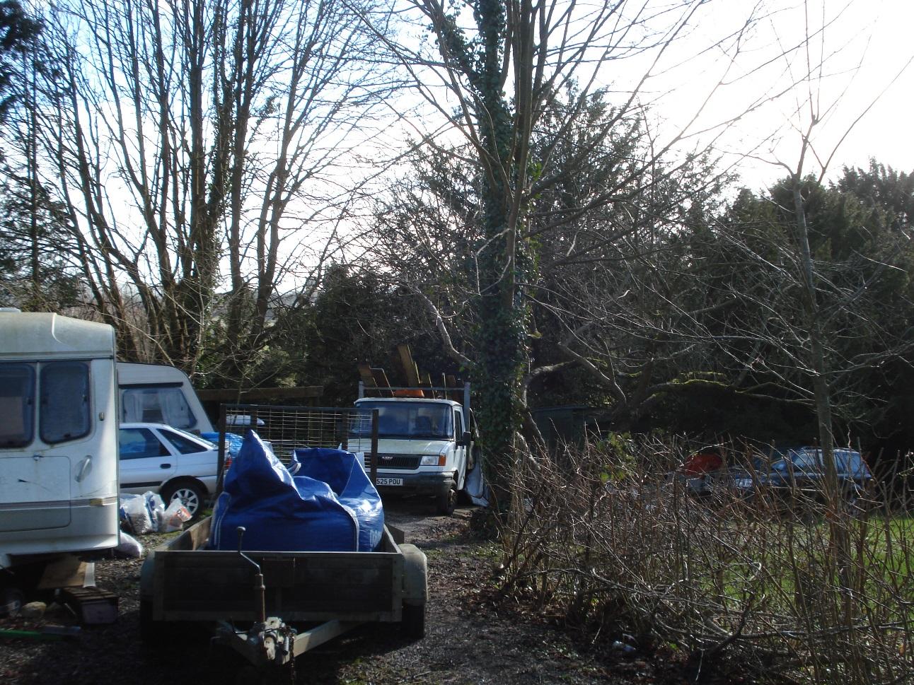
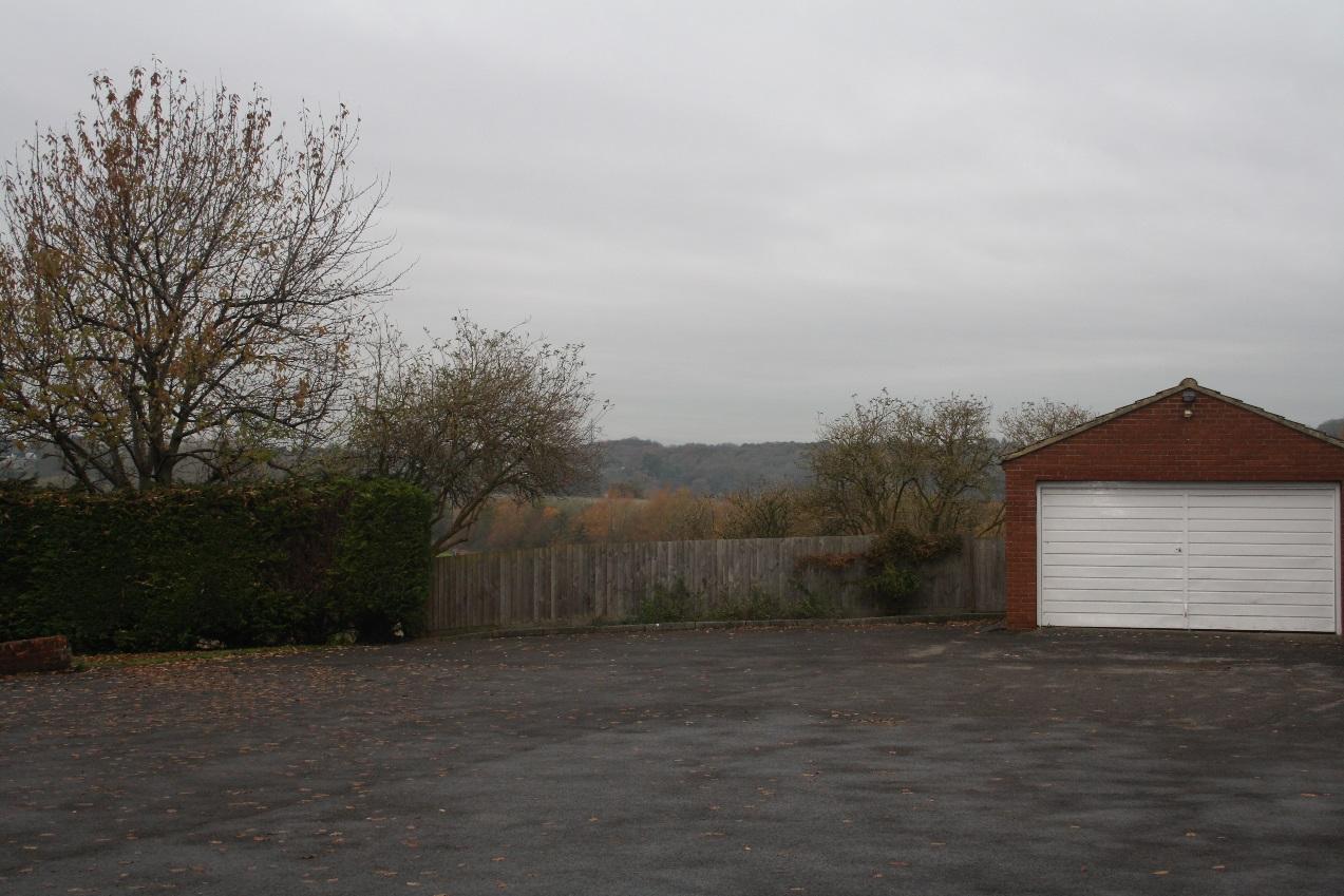
Land used for storage of building materials, caravans and vehicles
|
|
2
|
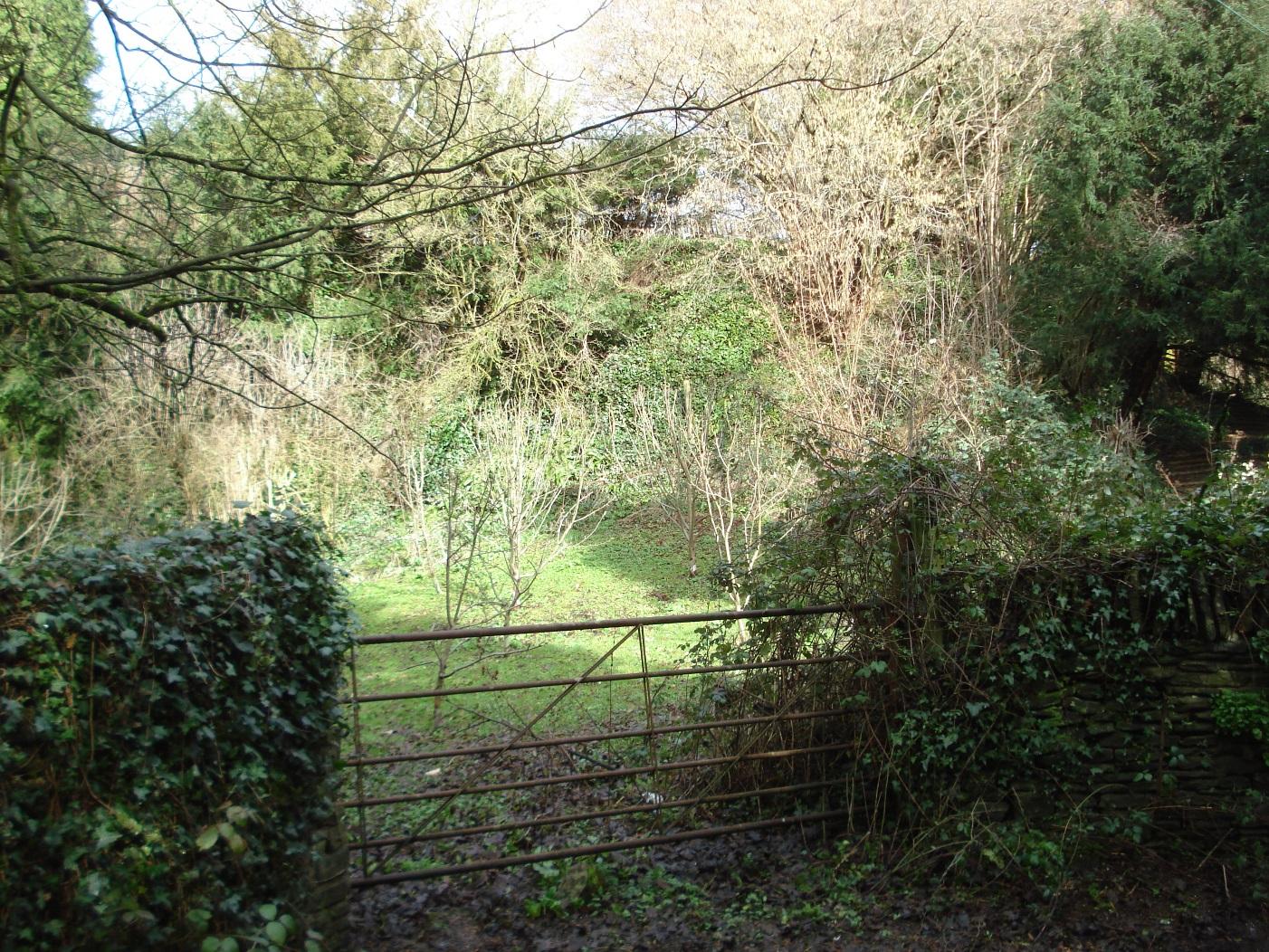
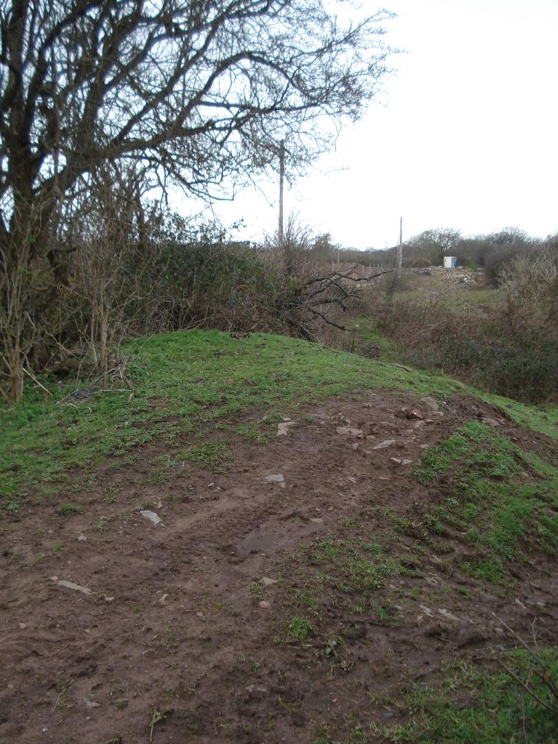
Entrance to former quarry
|
|
2
|
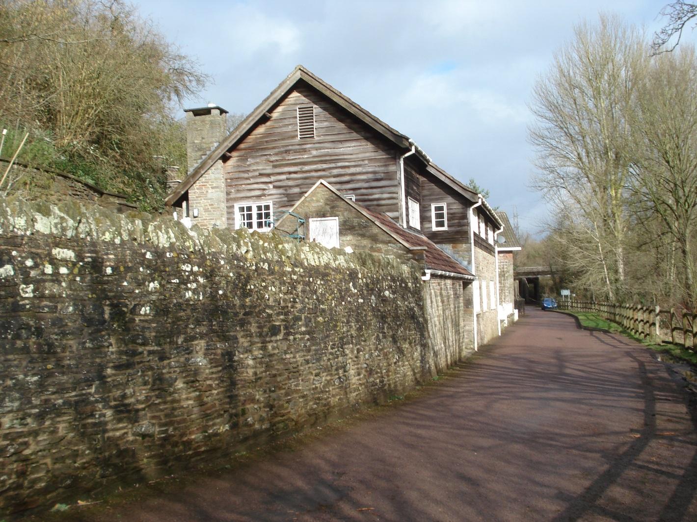
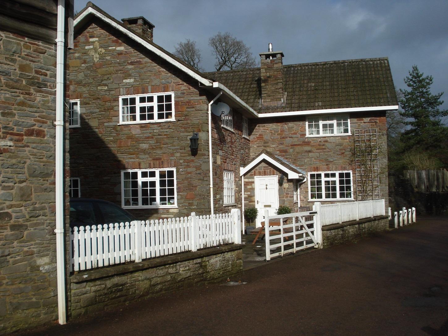
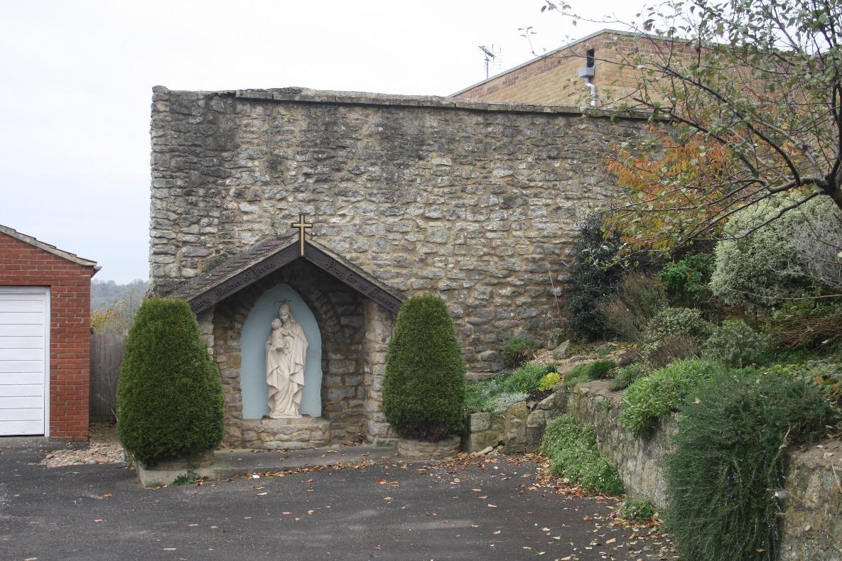
Durley Park Cottage (former coach house)
|
|
2
|
Durley Park Cottage (former stables)
|
|
2
|
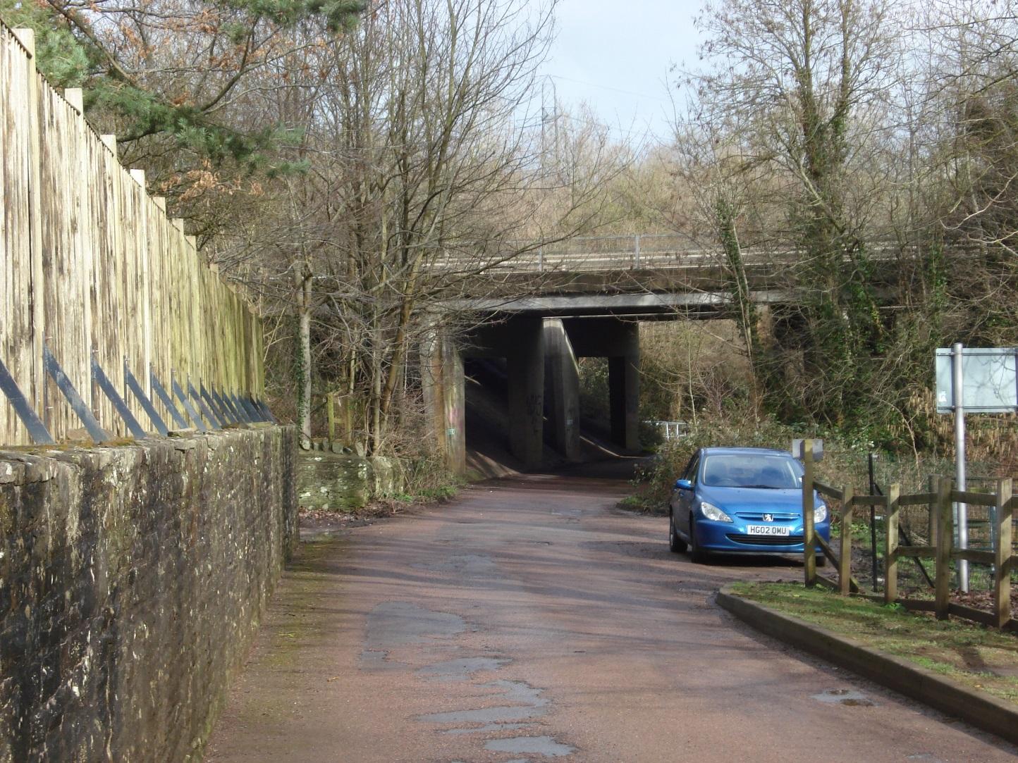
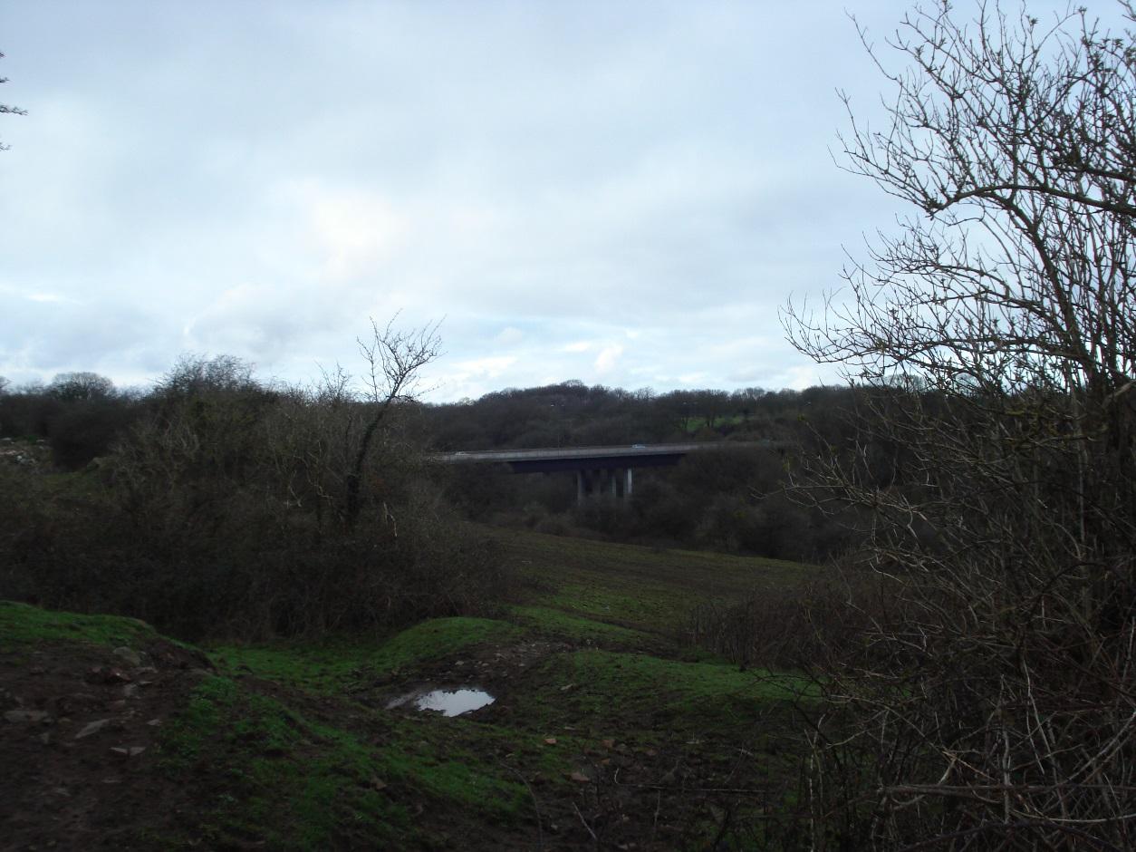
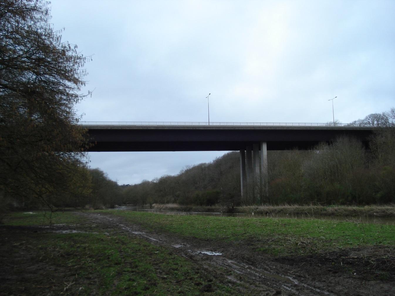
Bridge carrying A4 over Durley Lane
|
|
2
|
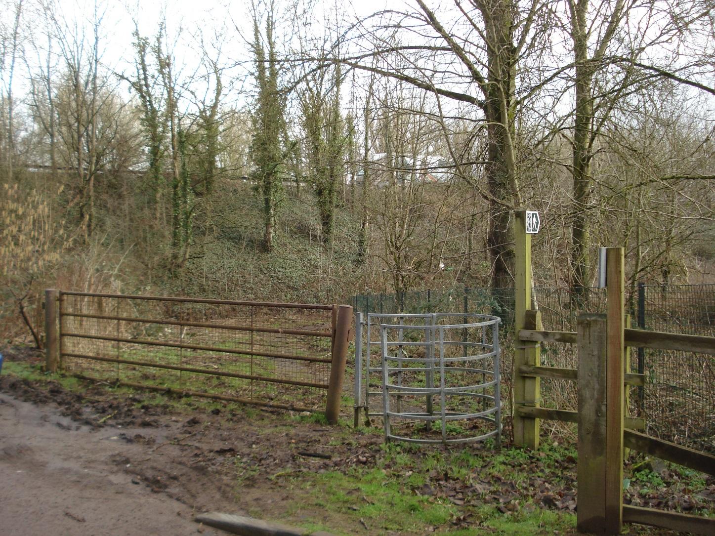
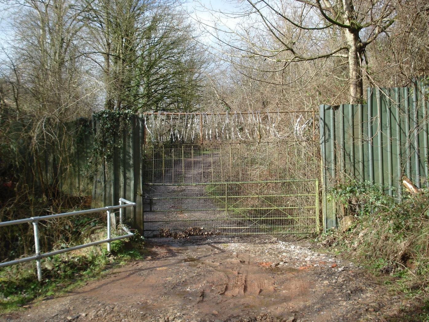
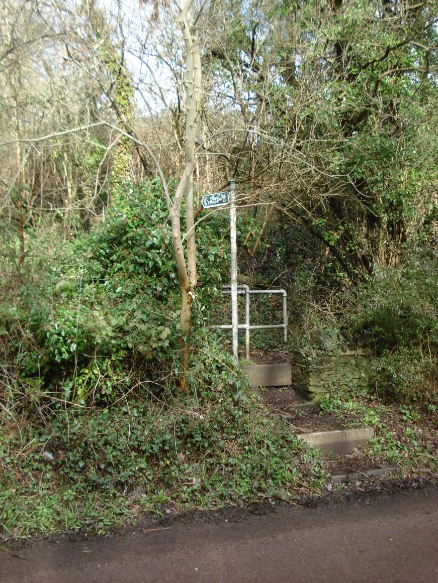
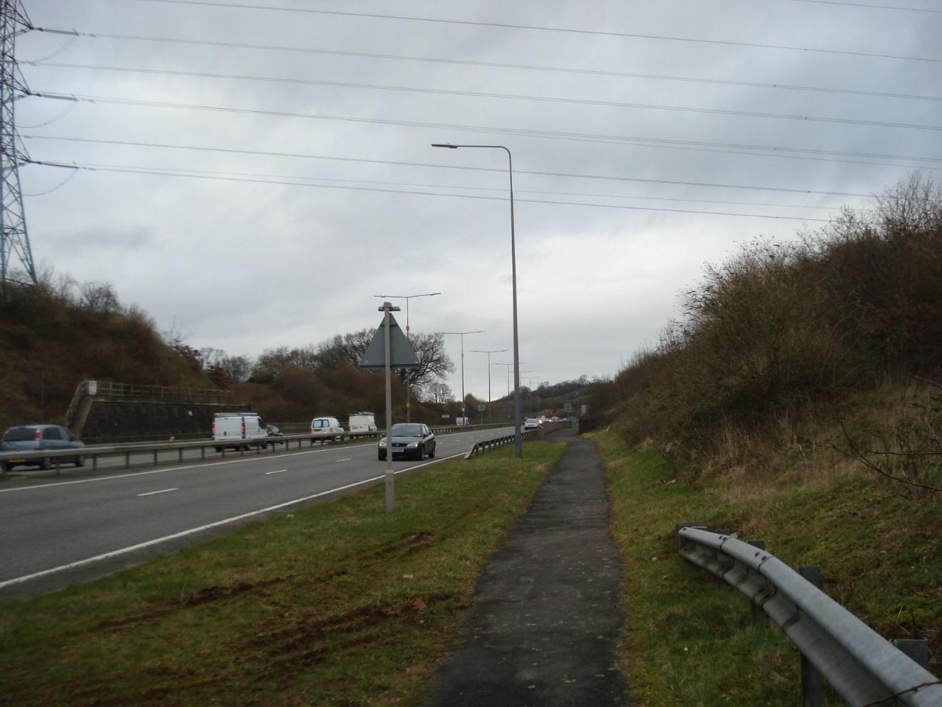
Entrance to public footpath running parallel to A4
|
|
2
|
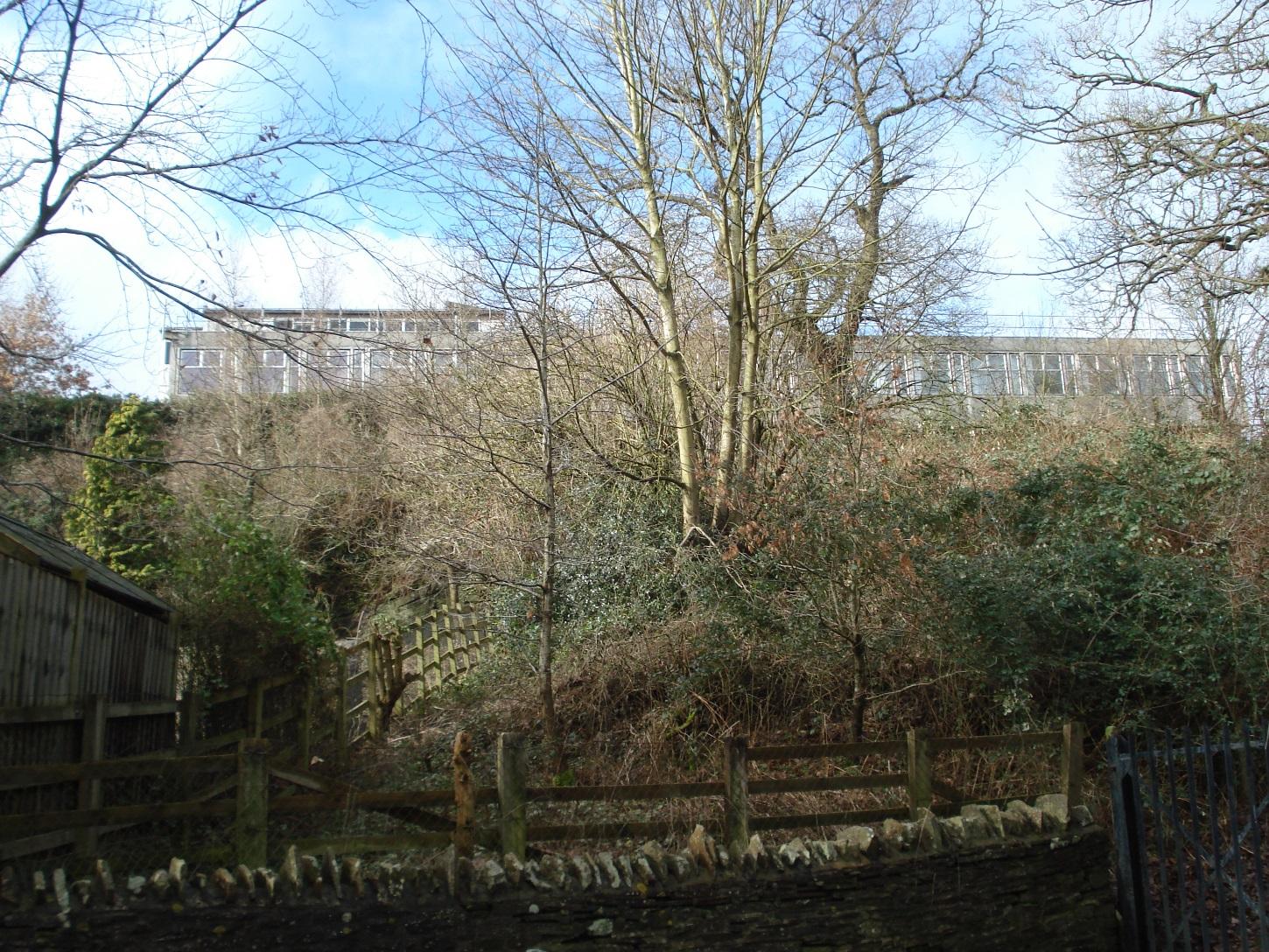
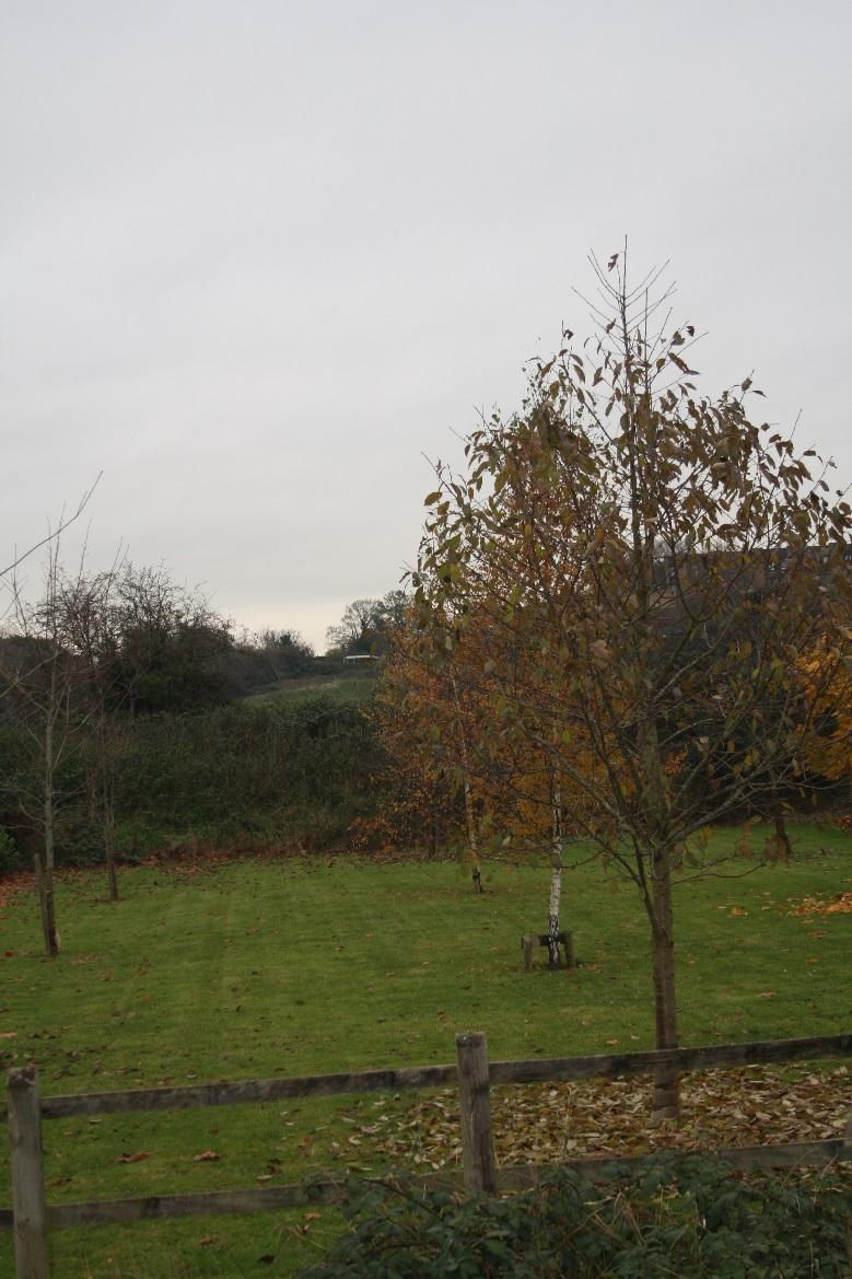
Durley Park offices viewed from Durley Lane
|
|
2
|
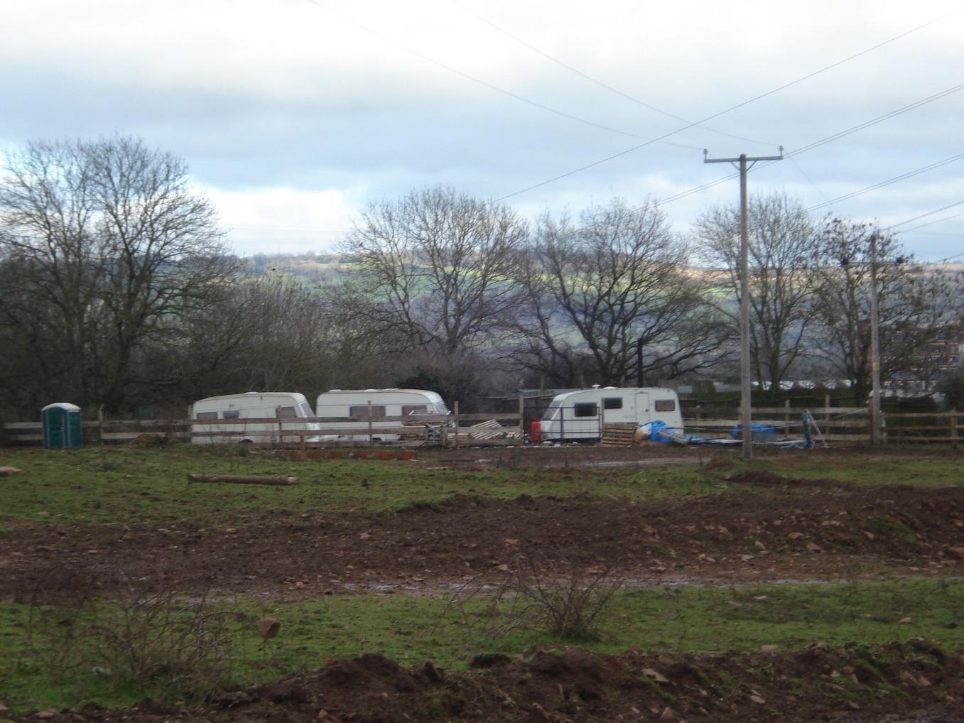
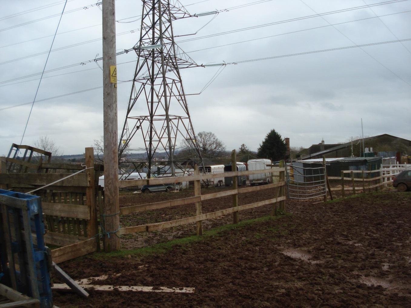
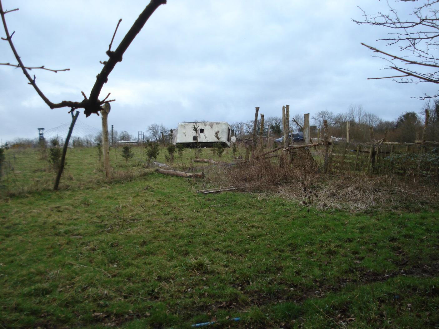
Access to field used for residential motorhome and for motor cycle scrambling
|
|
2
|
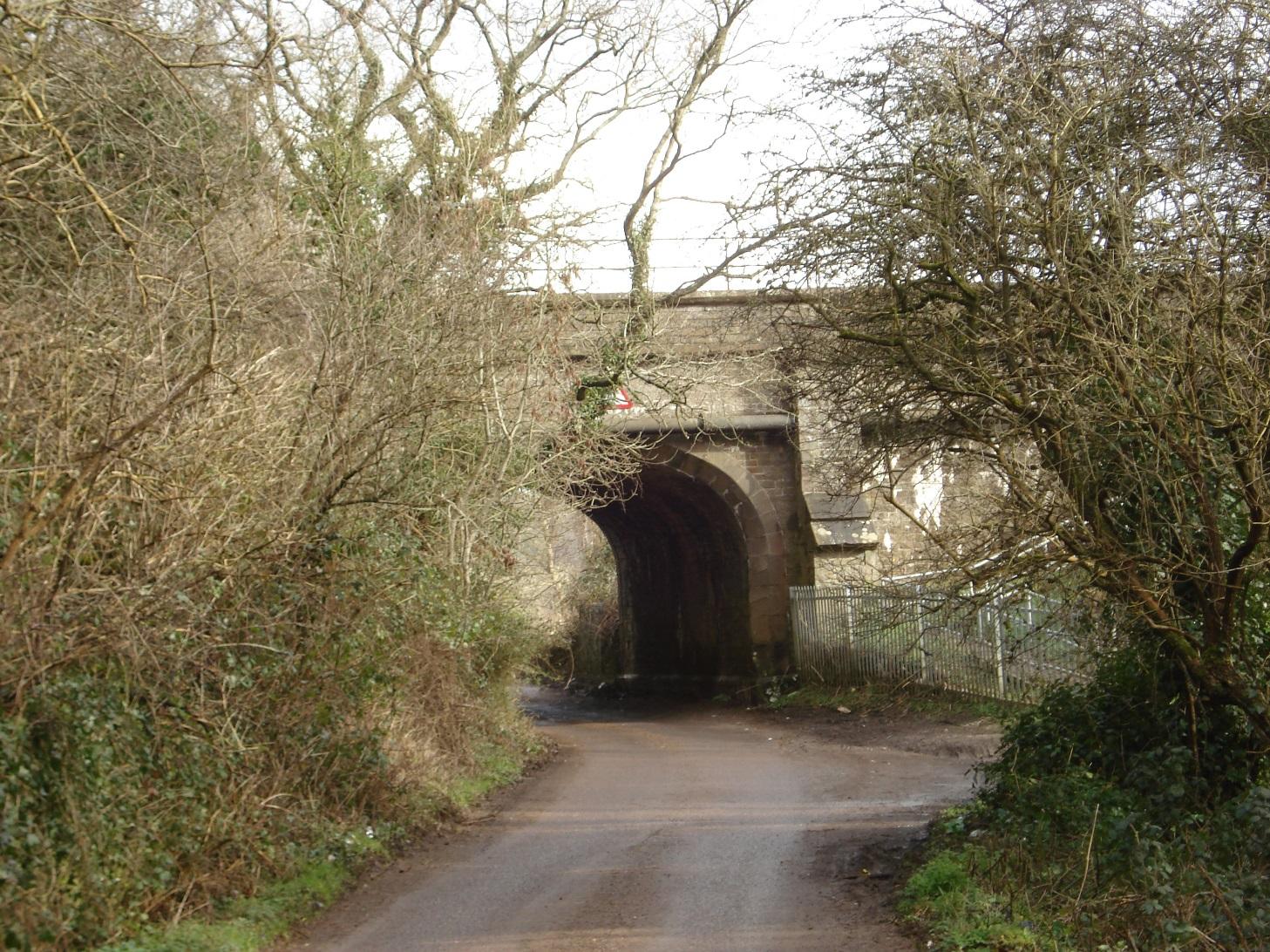
Bridge (constructed by I K Brunel) carrying railway over Durley Lane
|
|
2
|
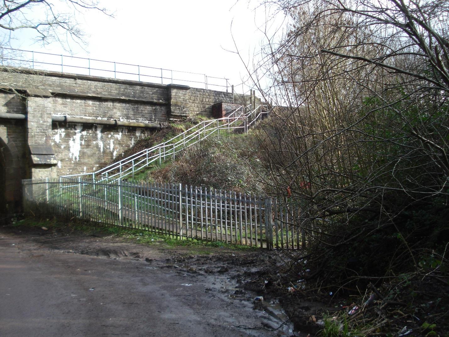
Access to railway for maintenance workers
|
|
2
|
Public footpath giving access to Humpty Dumps
|
|
2
|
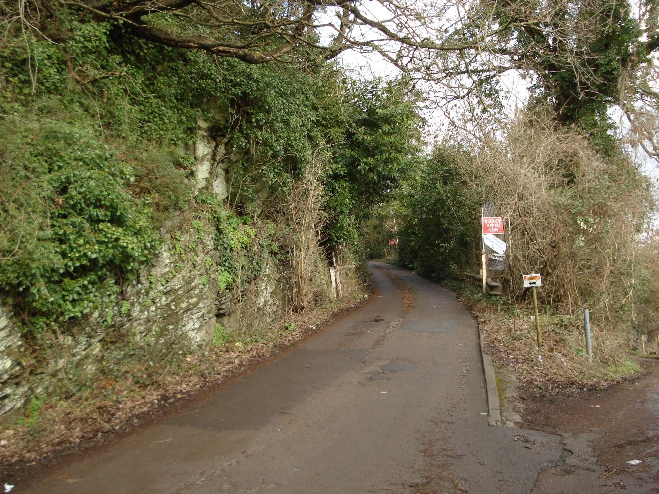
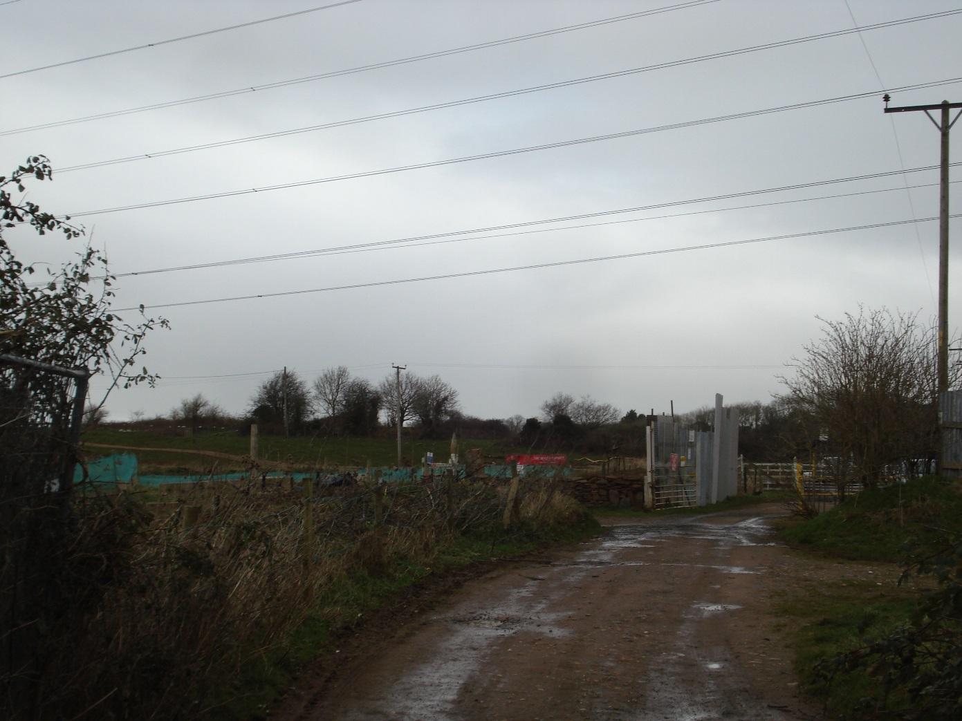
Entrance to Chandos Lodge Industrial Estate (note detail of pennant sandstone outcrop on left hand side)
|
|
2
|
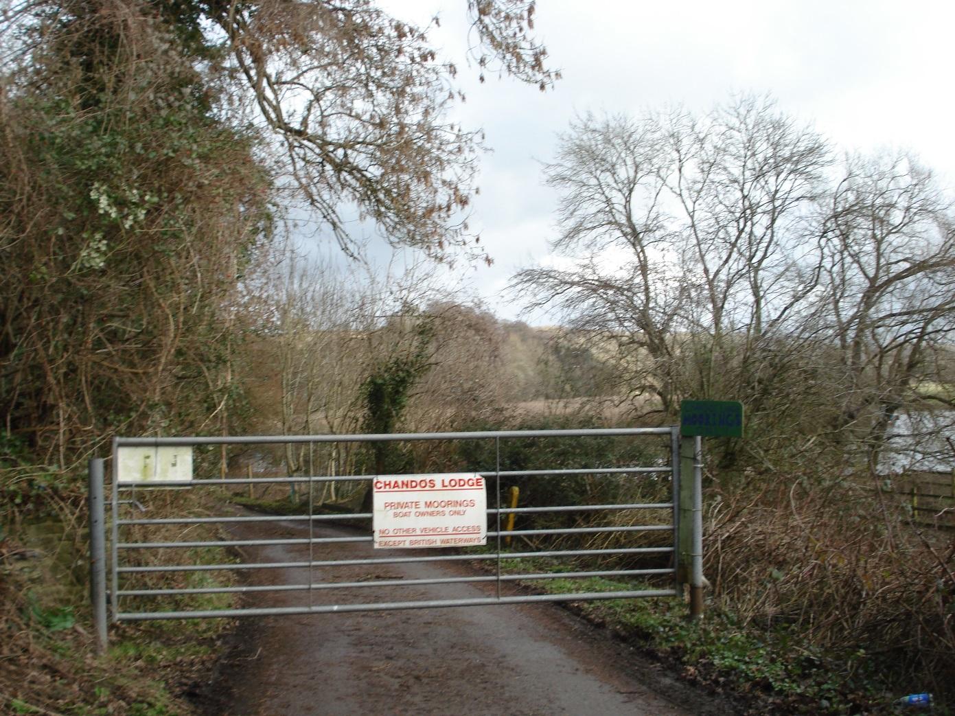
Entrance to Chandos Lodge moorings and public footpath
|
|
2
|
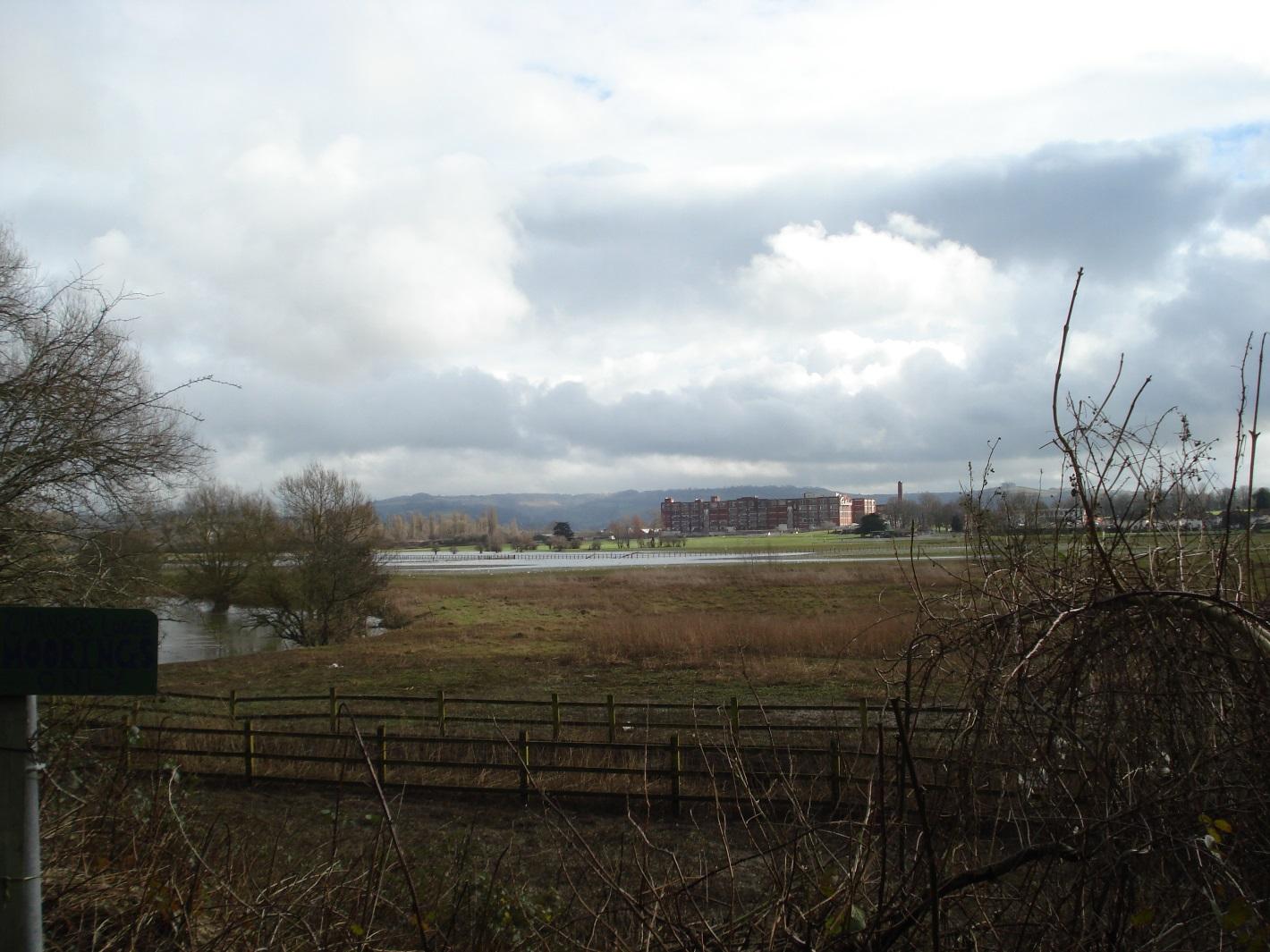
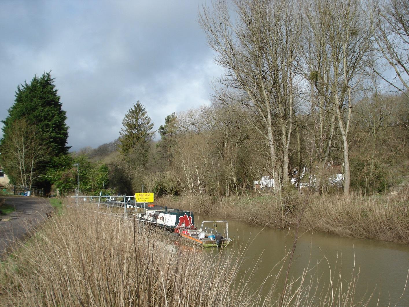
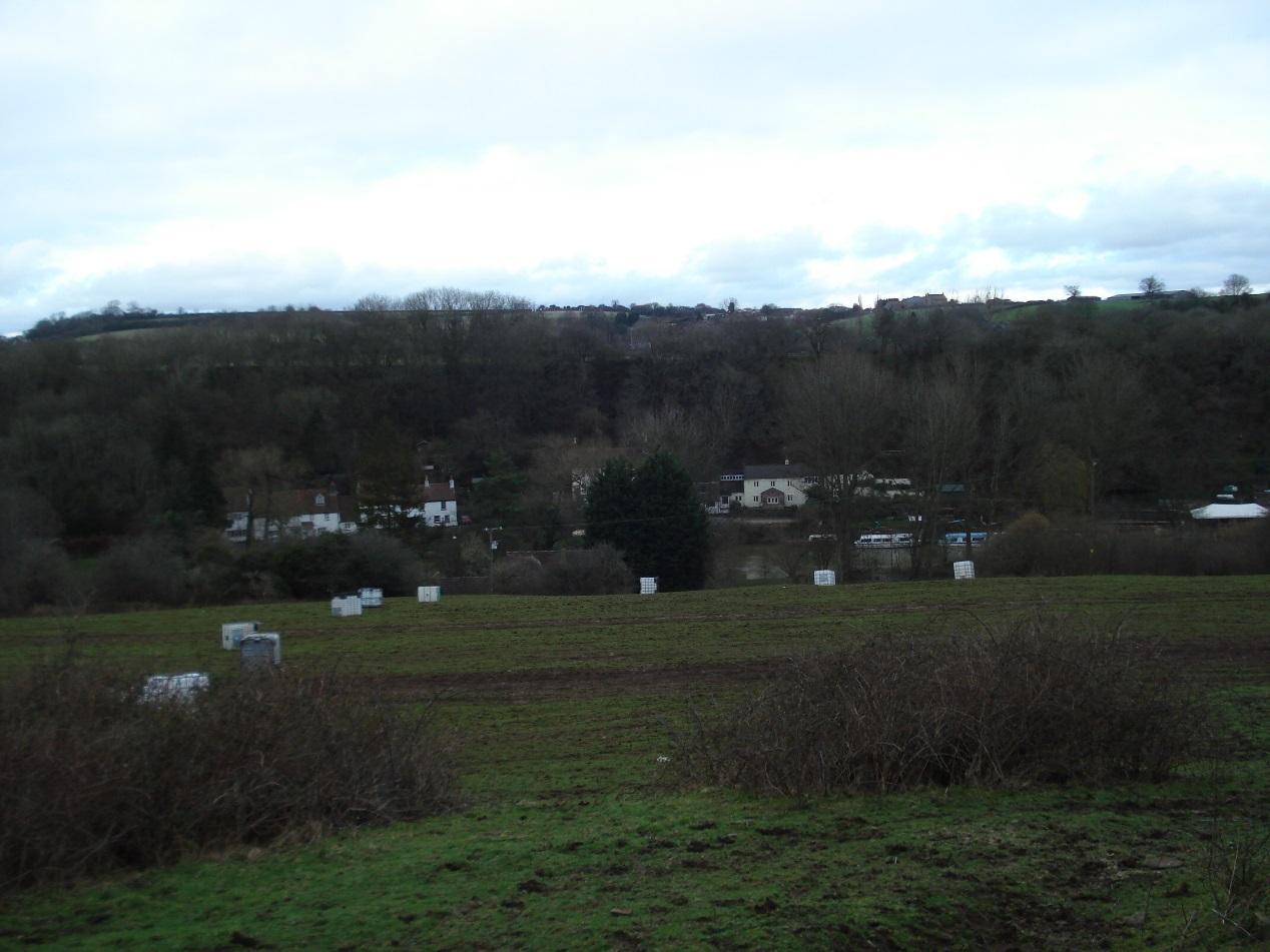
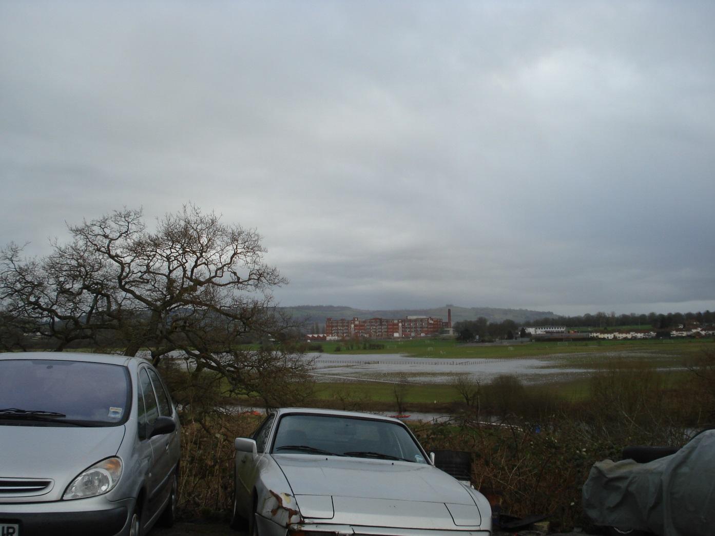
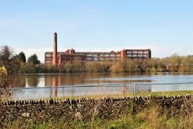
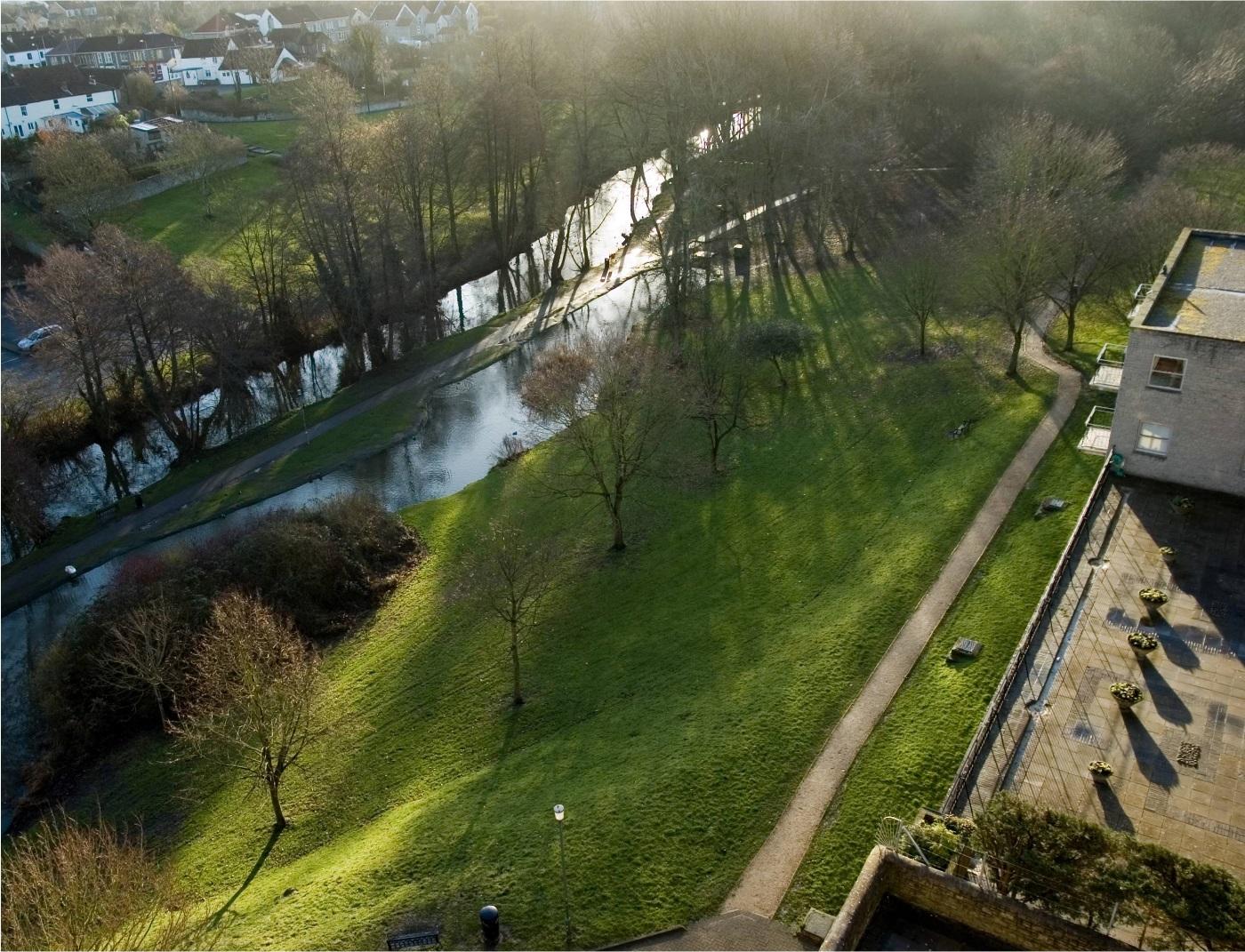
View to the east showing River Avon, flooded hams and Somerdale factory site
|
|
2
|
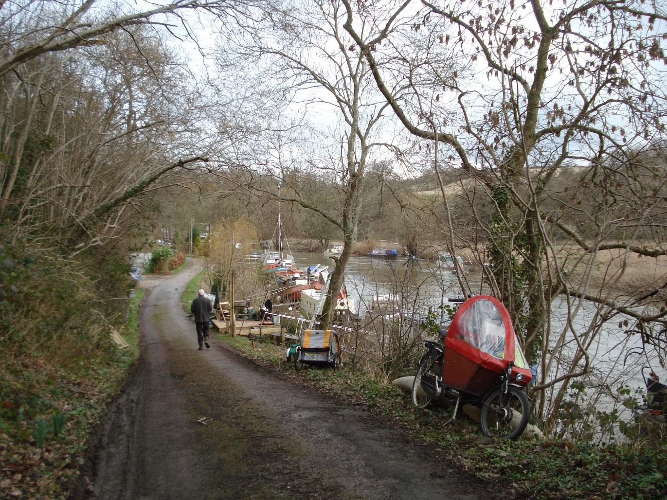
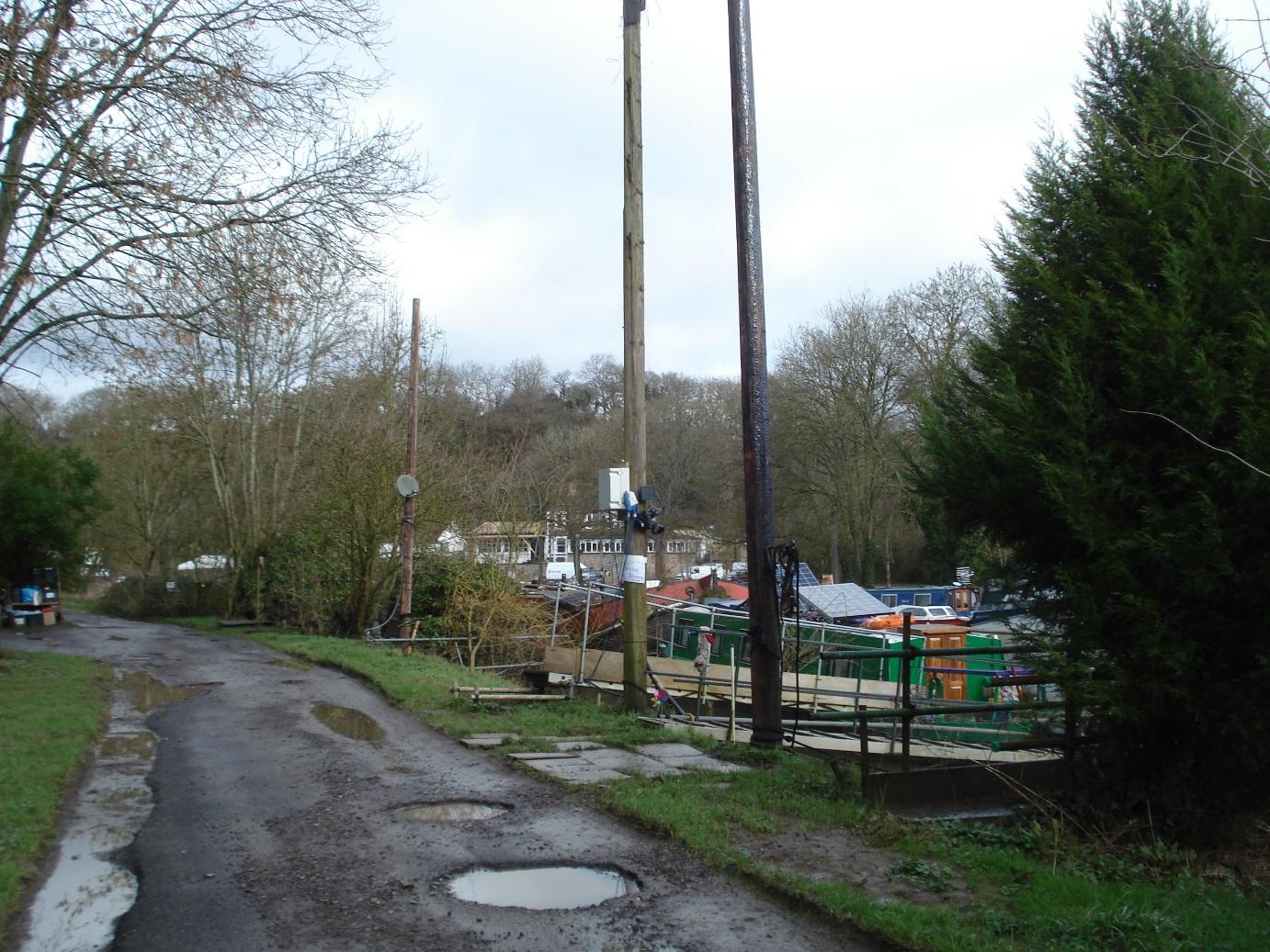
Houseboat moorings
|
|
2
|
Houseboat moorings
|
|
2
|
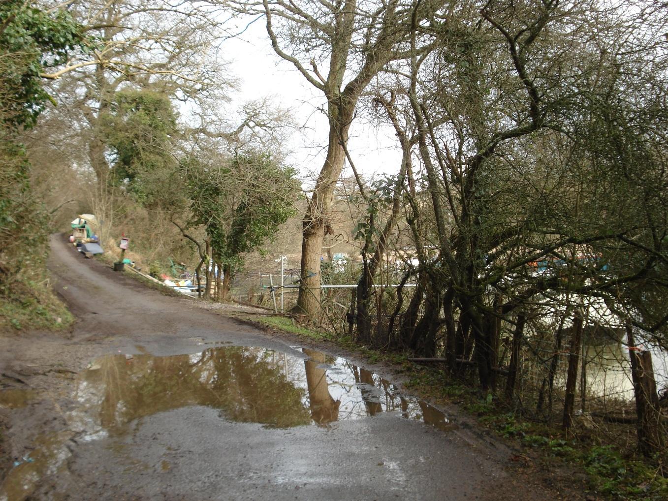
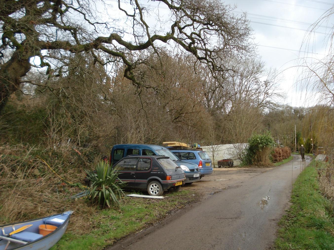
Boat owners' car parking adjacent to moorings
|
|
2
|
Houseboat moorings
|
|
2
|
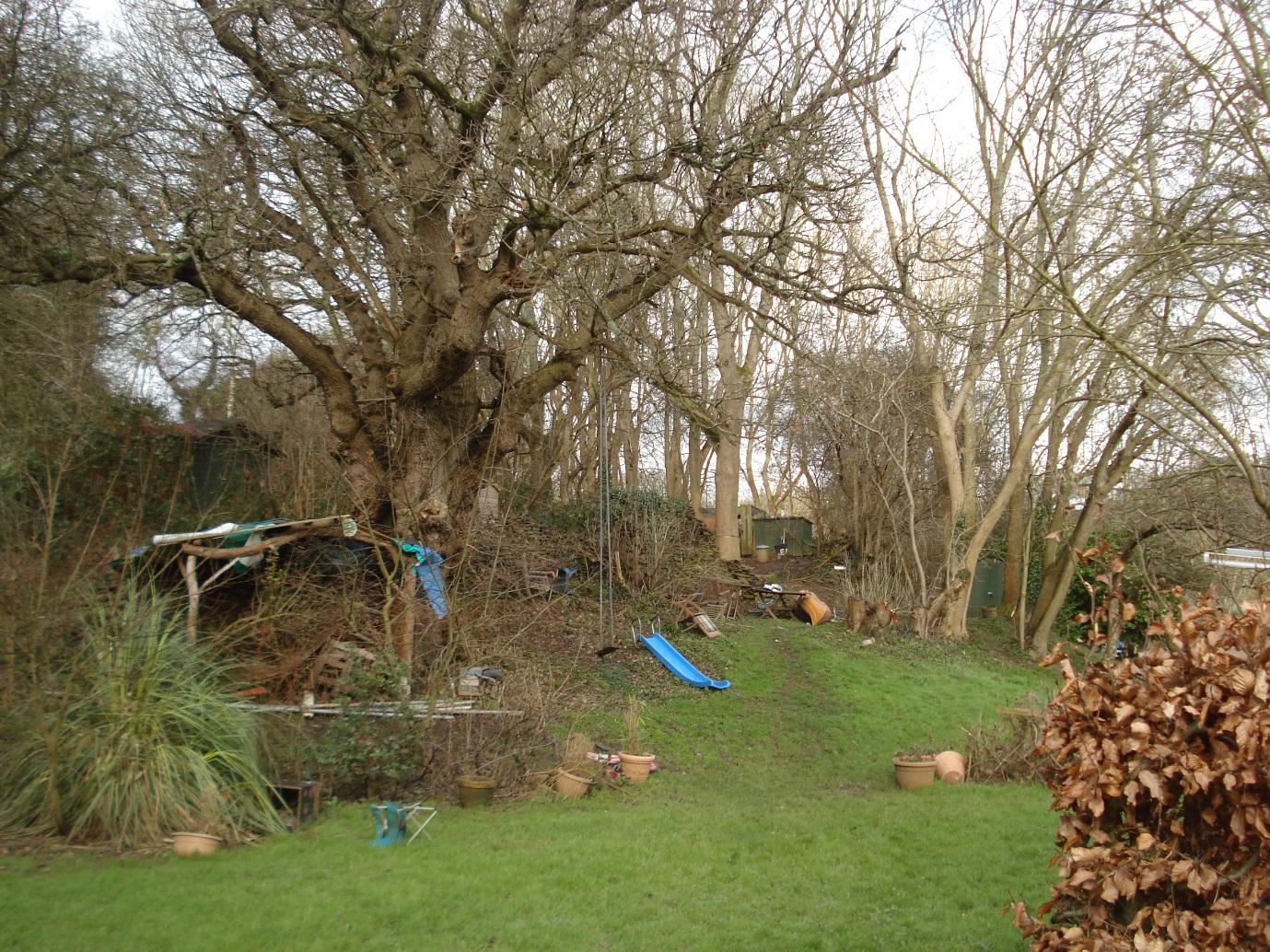
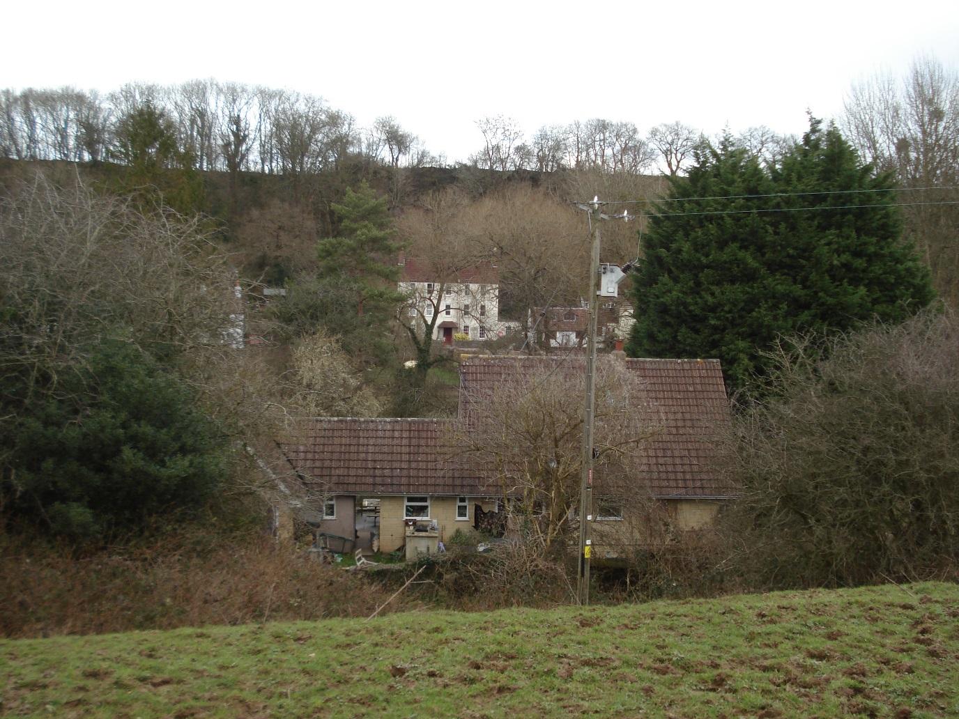
Slope above riverbank with outbuildings belonging to boat dwellers
|
|
2
|
Slope above riverbank with outbuildings belonging to boat dwellers
|
|
2
|
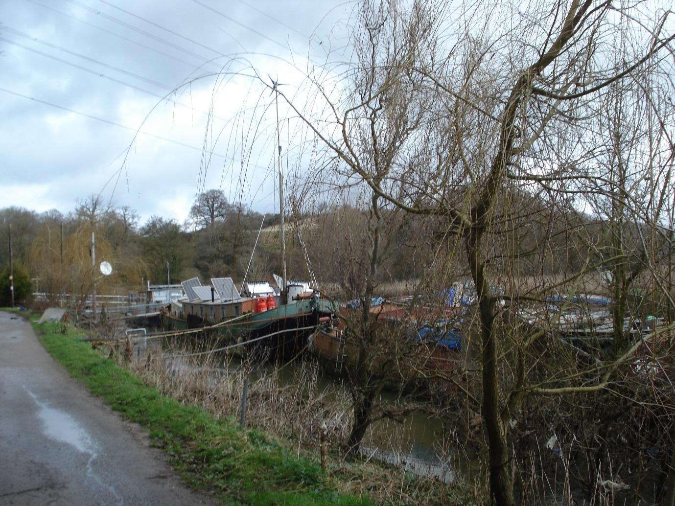
Houseboat moorings - Chequers Pub in background on opposite bank
|
|
2
|
Road to Lock Keeper's Cottage
|
|
2
|
Approach to Hanham Lock
|
|
2
|
Lock entrance
|
|
2
|
Lock Cottage
|
|
2
|
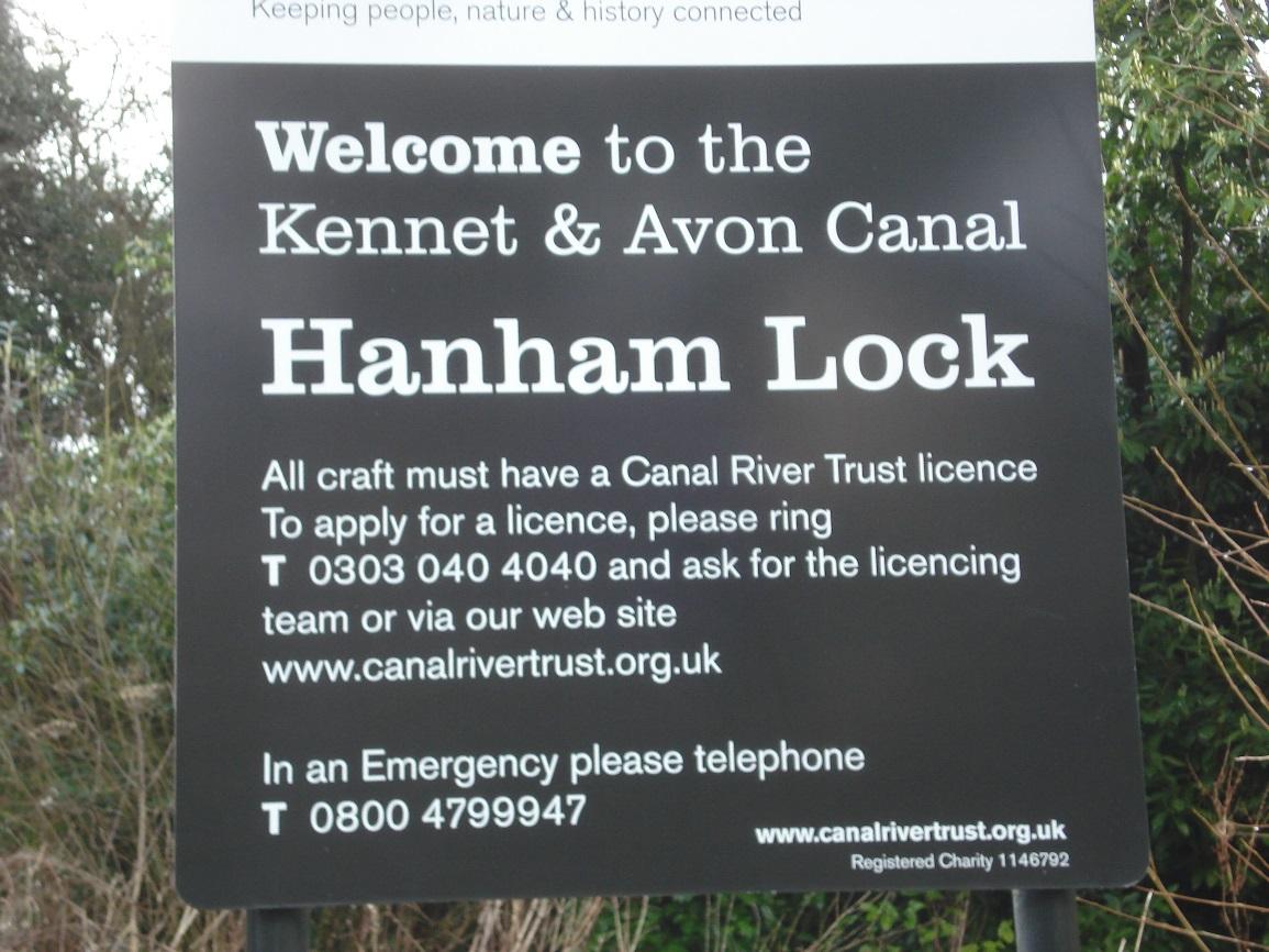
Hanham Lock sign
|
|
2
|
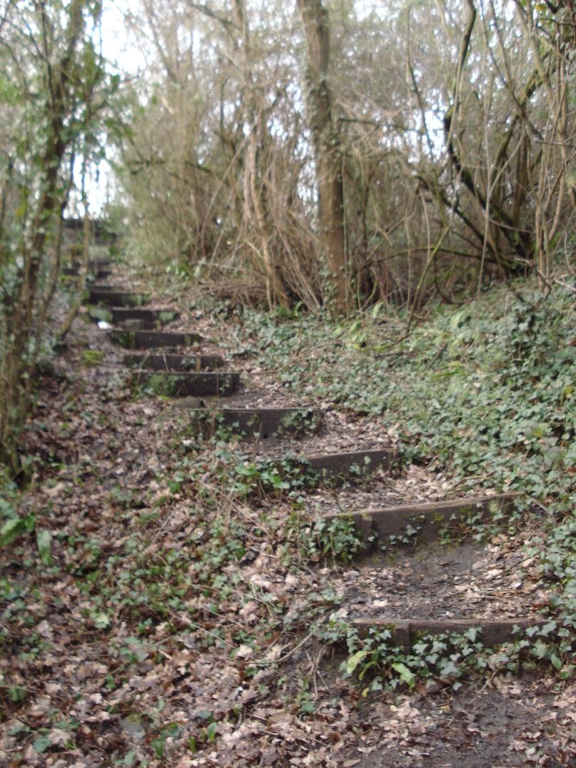
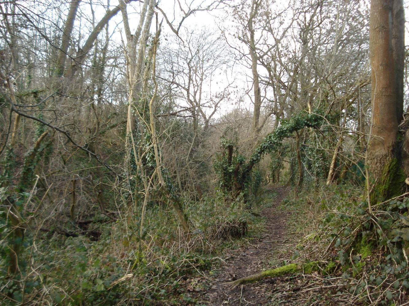
Public footpath in Humpty Dumps running west parallel to railway line
|
|
2
|
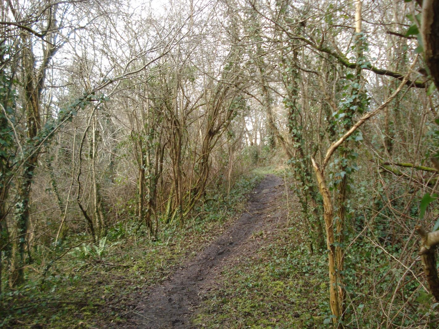
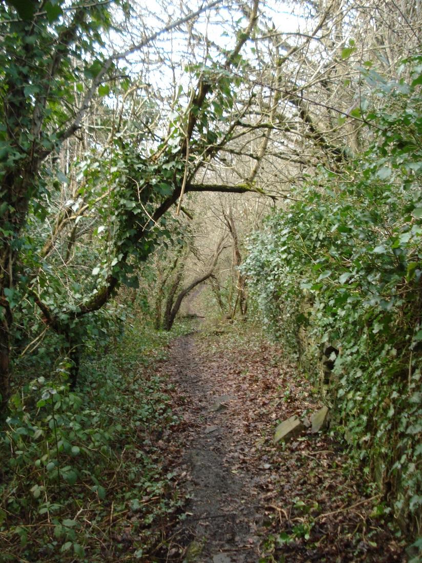
Footpath through Humpty Dumps
|
|
2
|
Footpath through Humpty Dumps
|
|
2
|
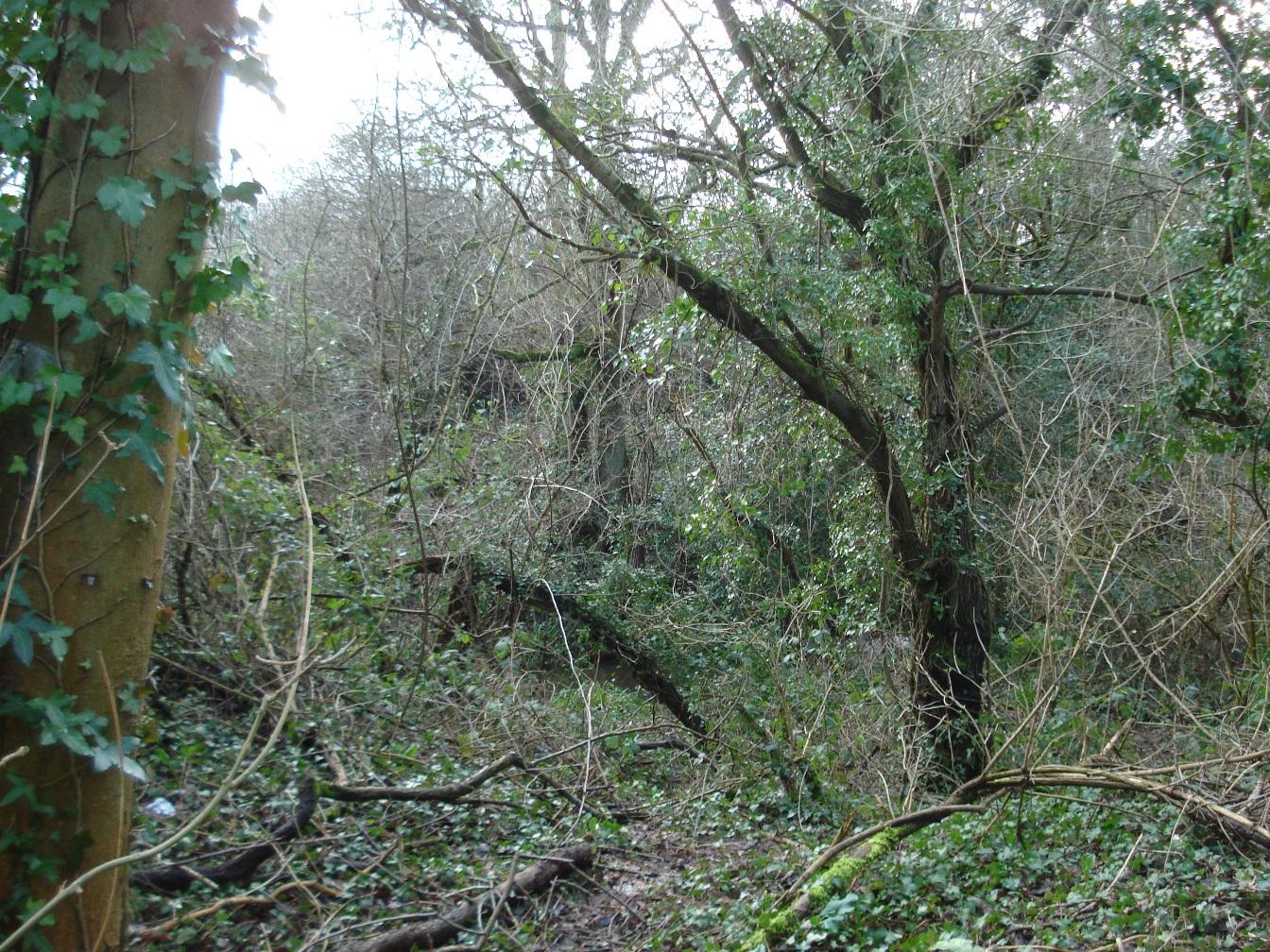
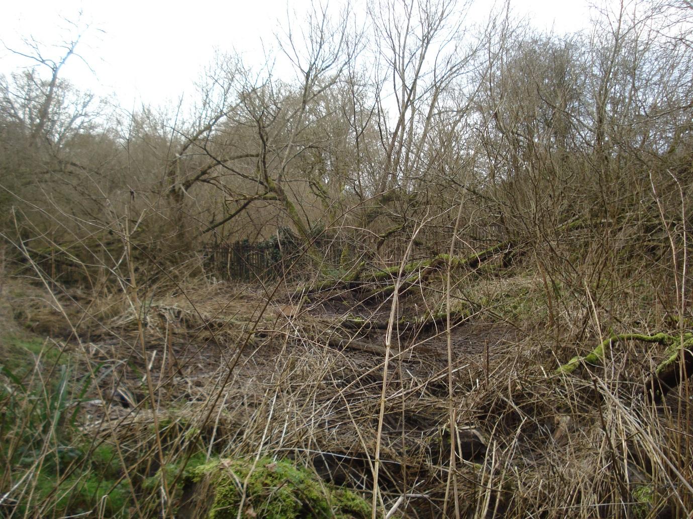
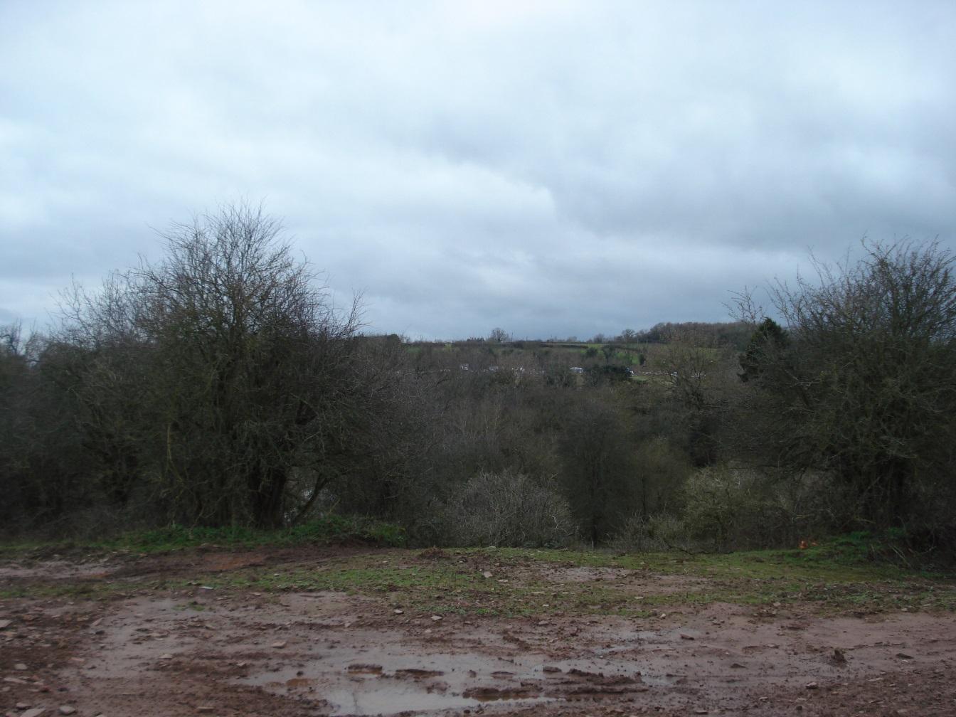
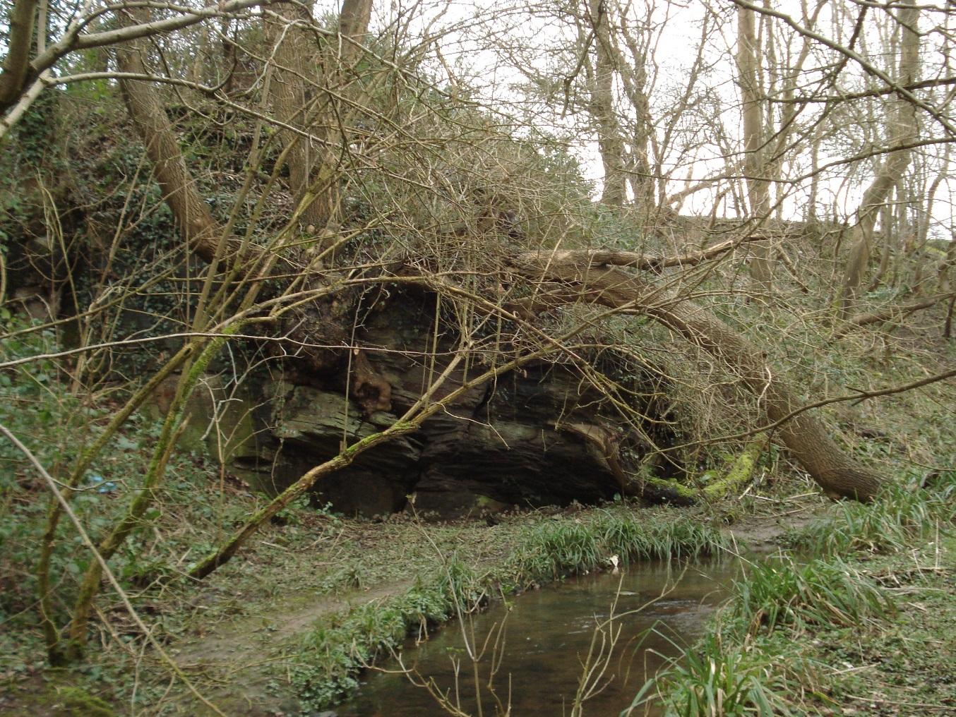
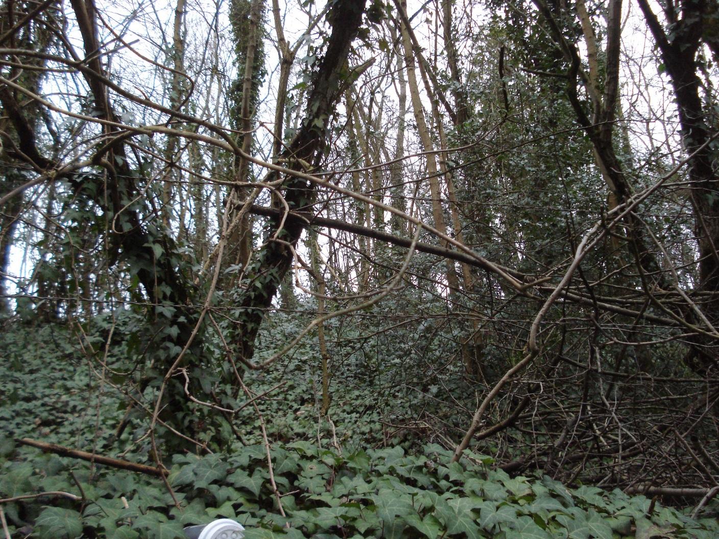
General view of scrub land in Humpty Dumps
|
|
2
|
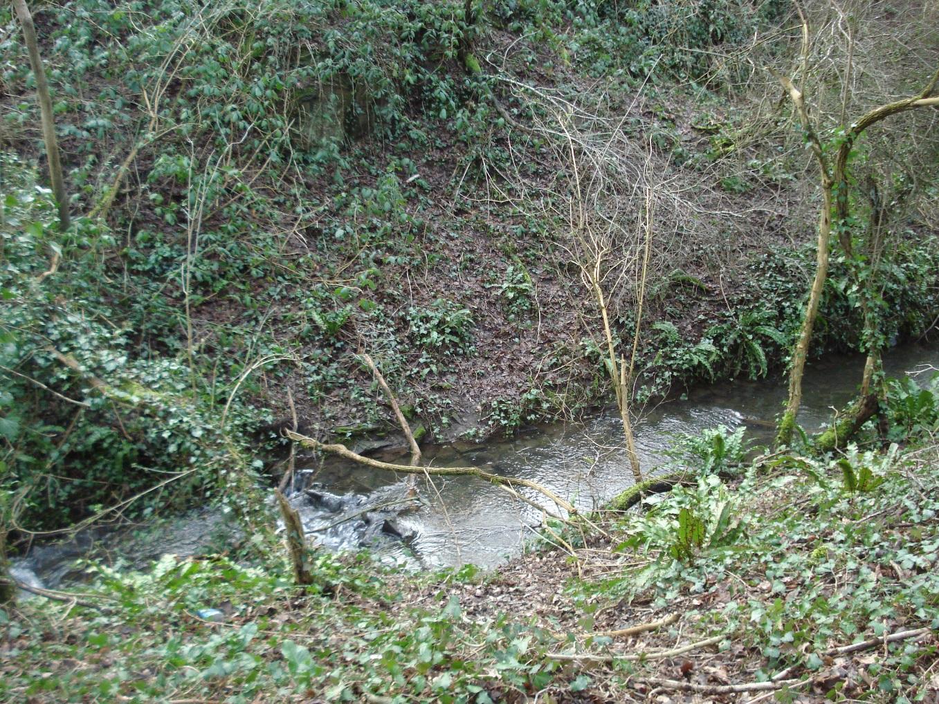
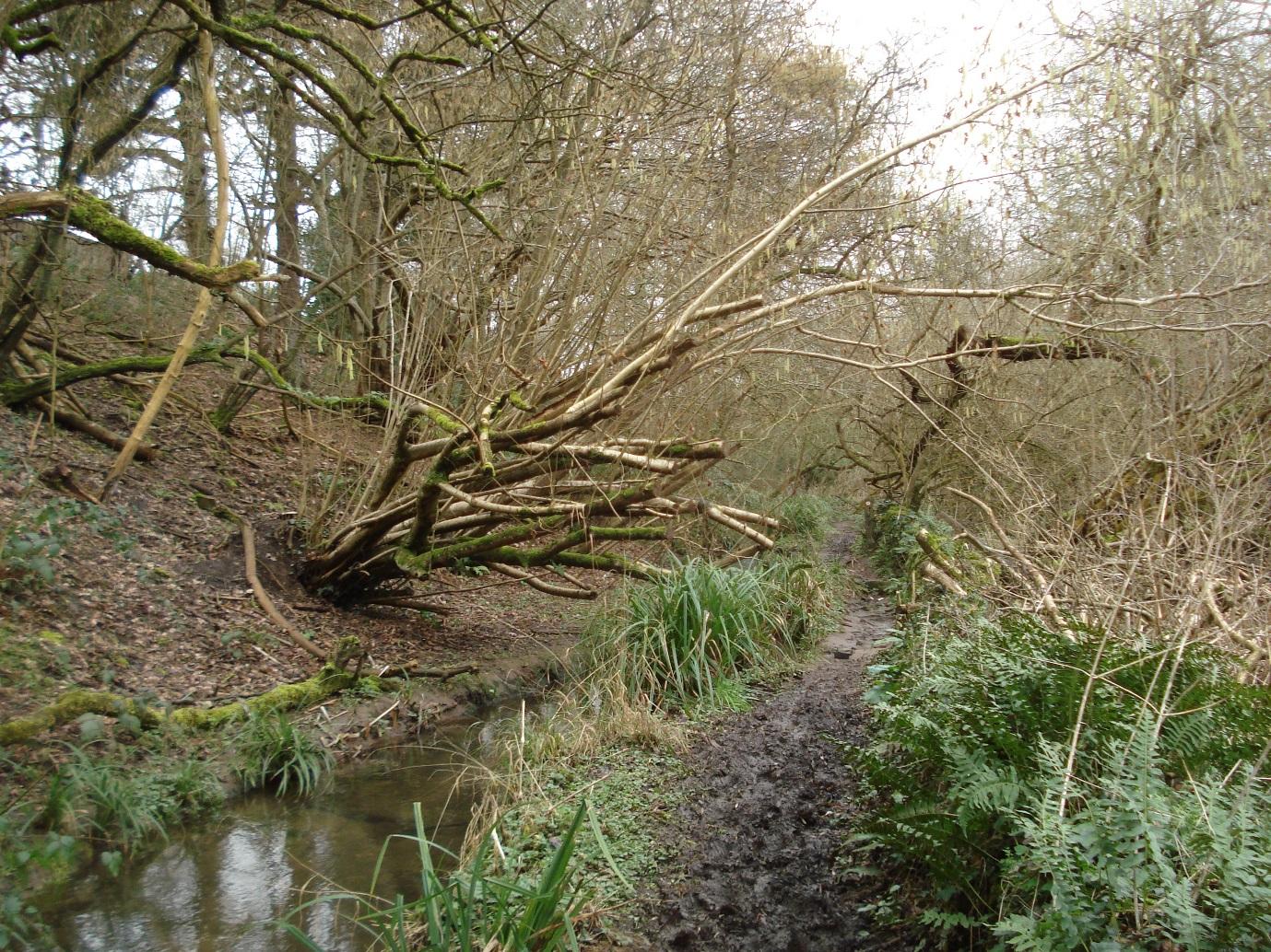
Stream in valley running through Humpty Dumps
|
|
2
|
General view of scrub land in Humpty Dumps
|
|
2
|
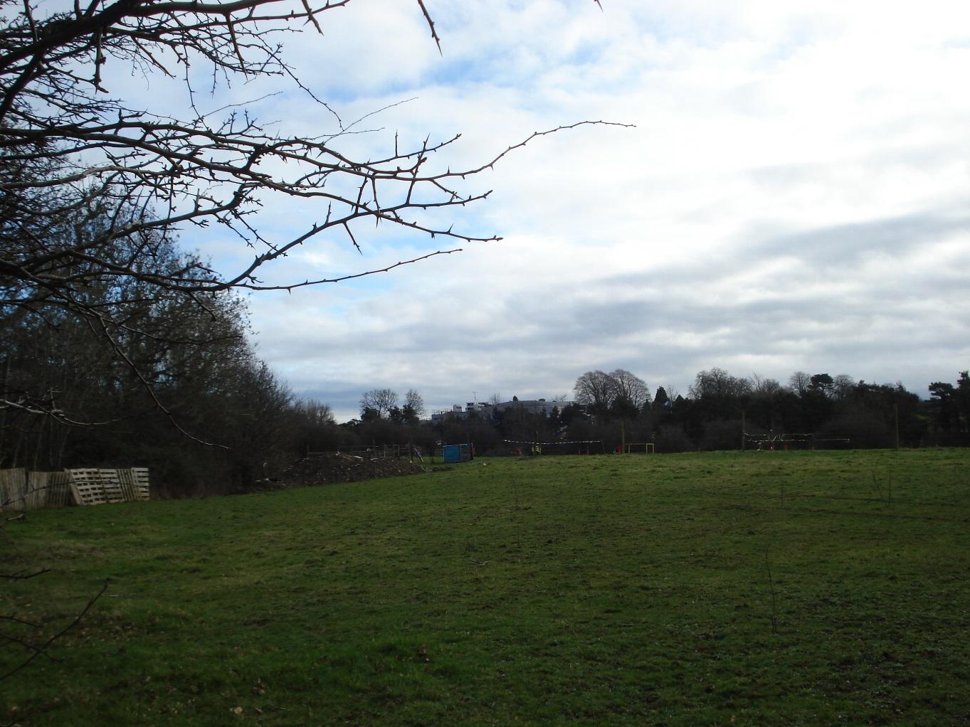
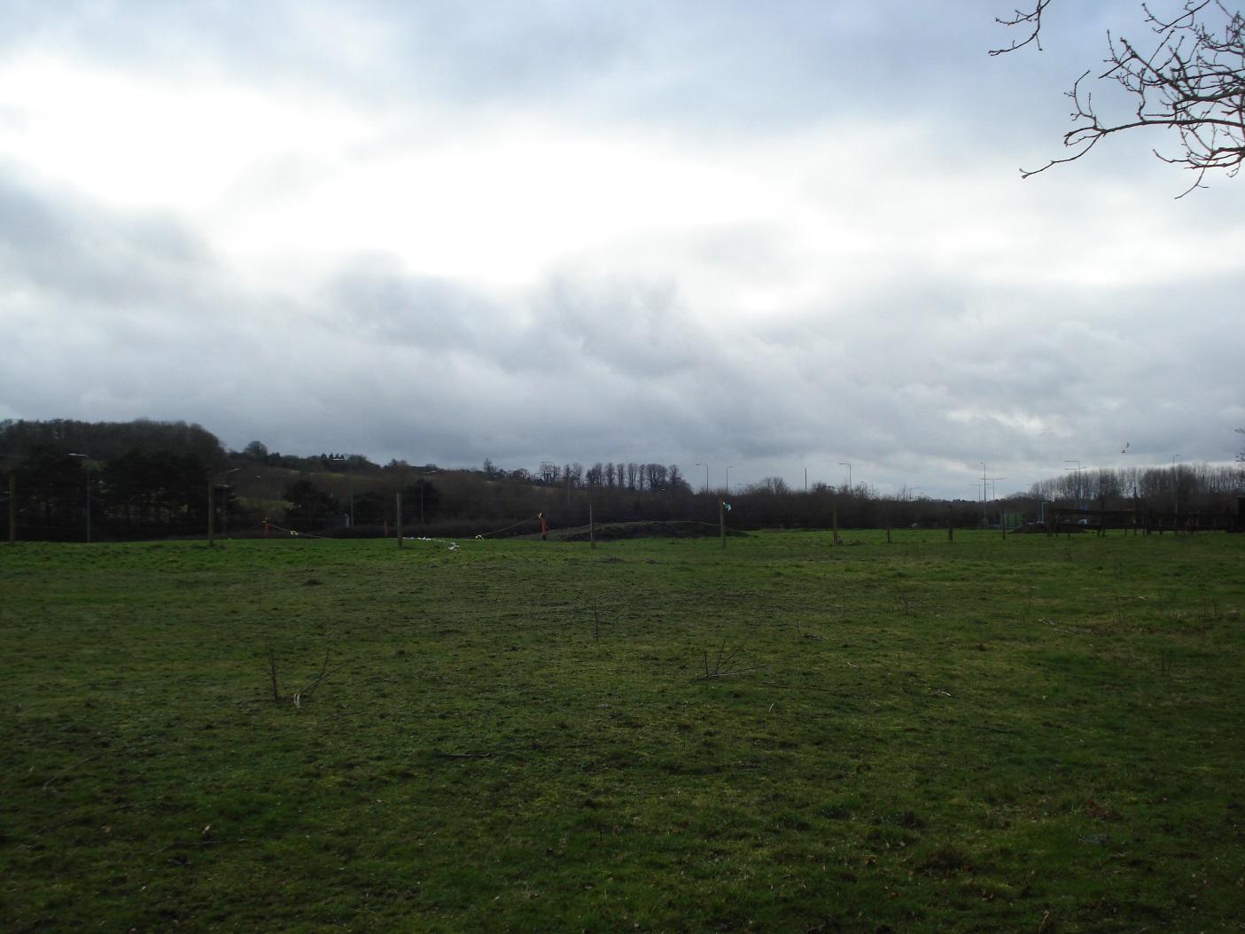
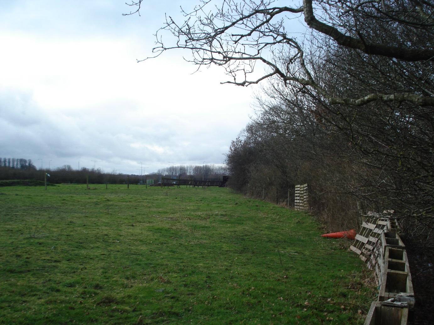
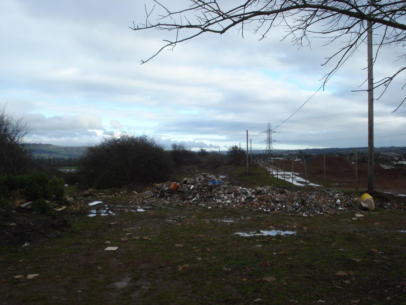
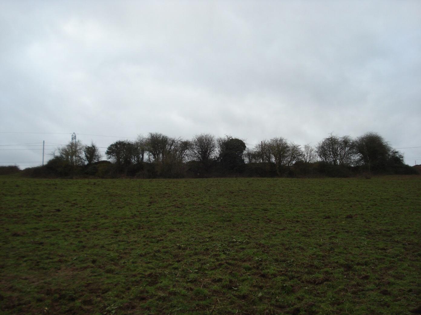
View of field (note tipping adjacent to hedge on LHS)
|
|
2
|
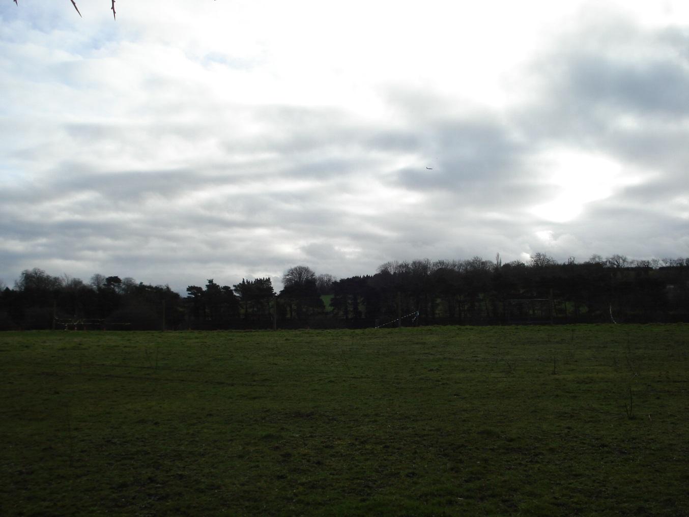
View of field
|
|
2
|
View of field
|
|
2
|
View of field
|
|
2
|
Swamp area
|
|
2
|
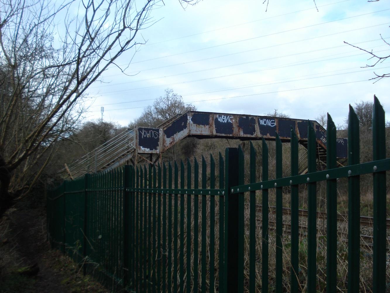
Approach to railway footbridge
|
|
2
|
Railway footbridge
|
|
2
|
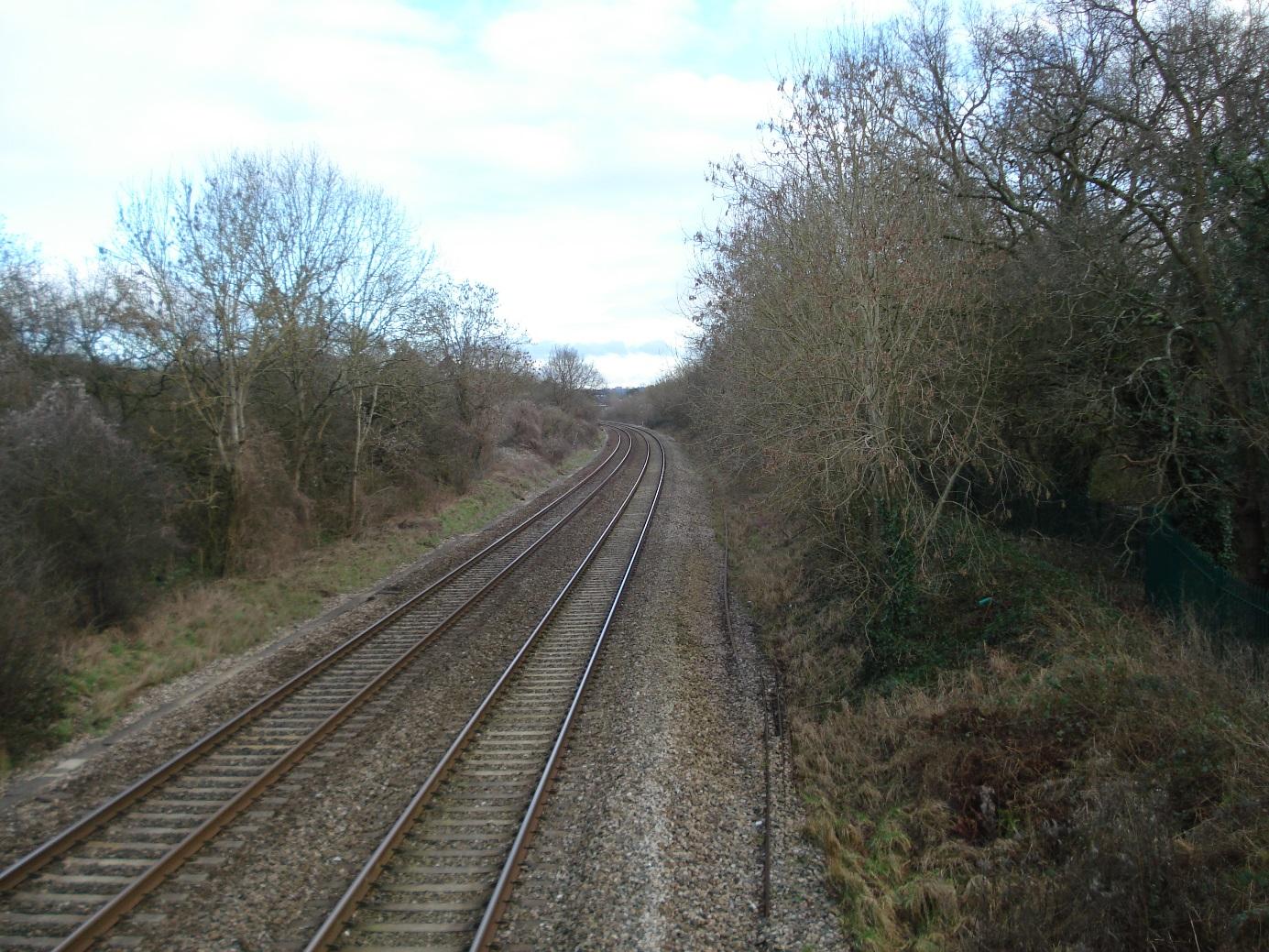
View of rail track to east
|
|
2
|
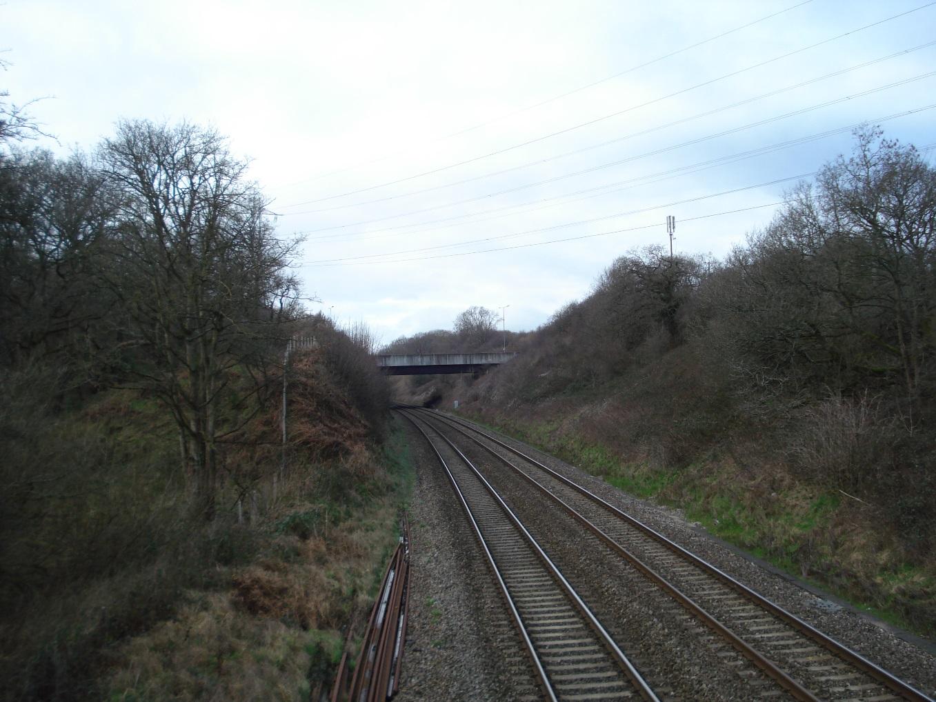
View of rail track to west showing Ring Road bridge
|
|
2
|
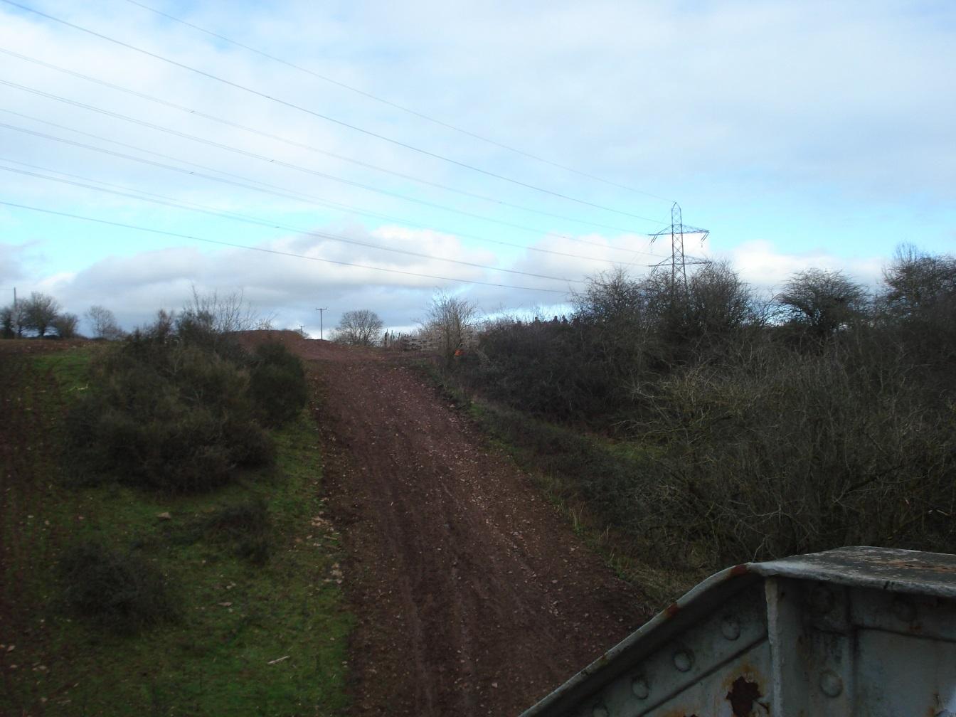
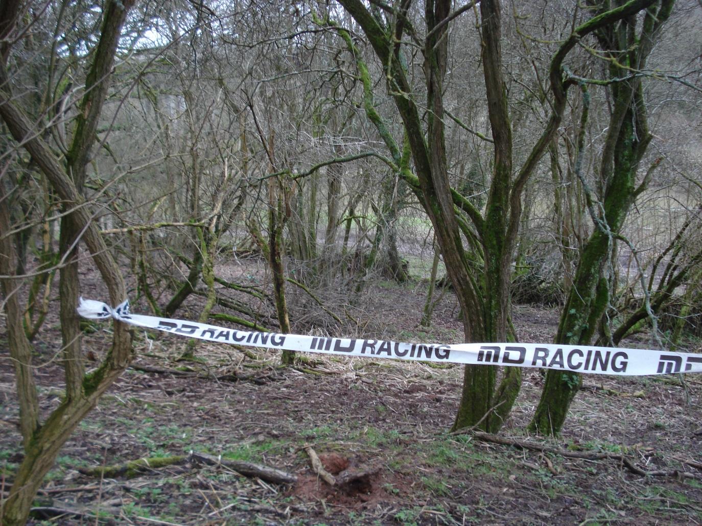
View to north showing motor cycle scramble track and destruction of public footpath
|
|
2
|
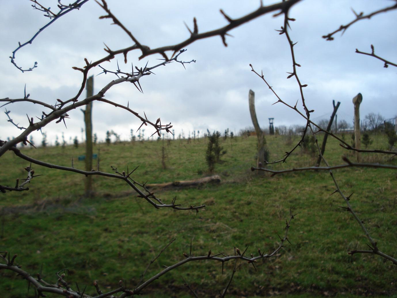
View to south showing arboriculture site
|
|
2
|
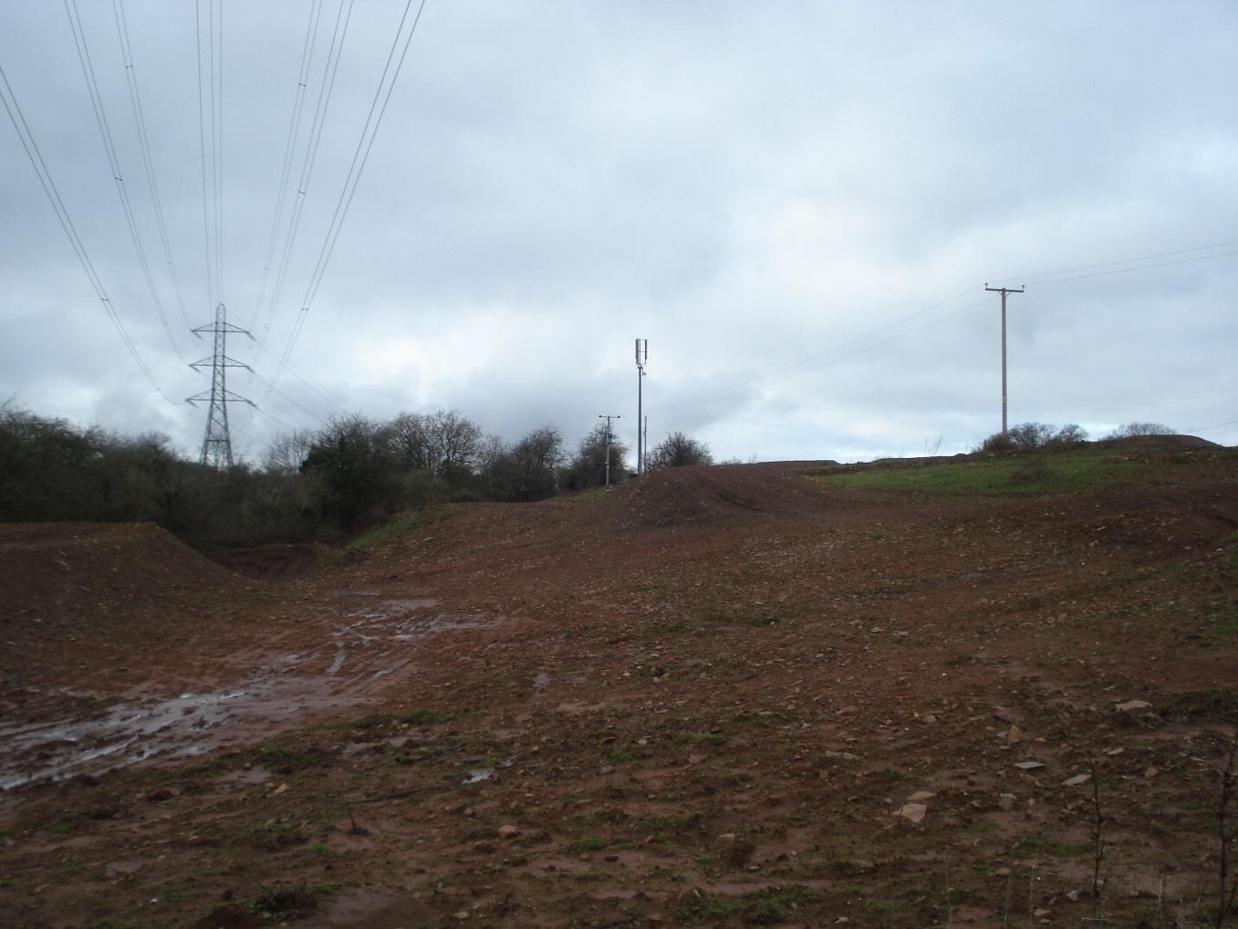
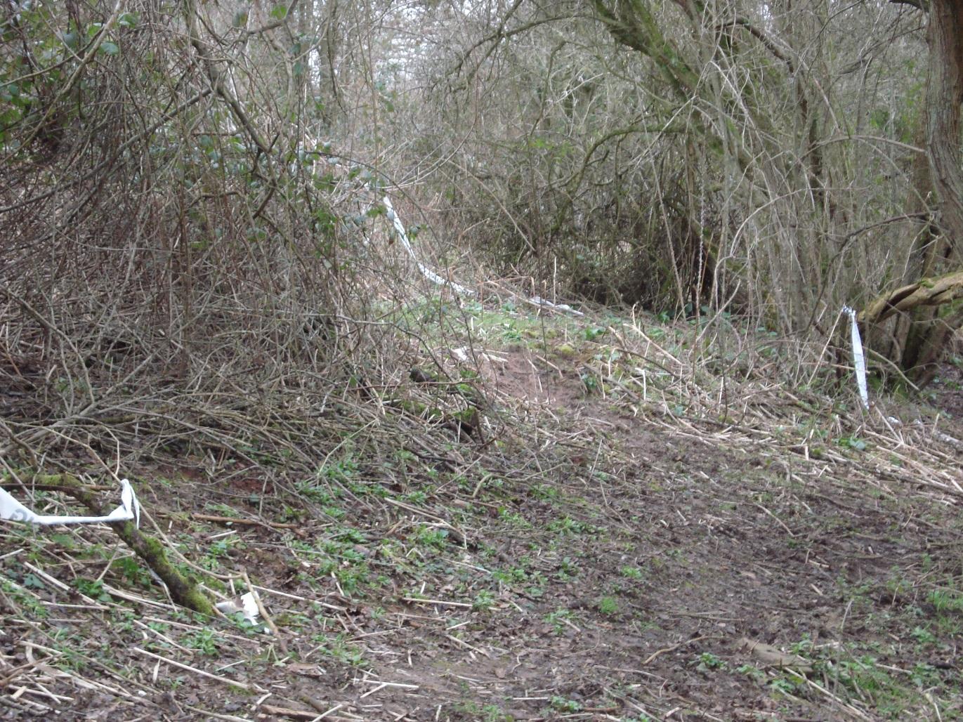
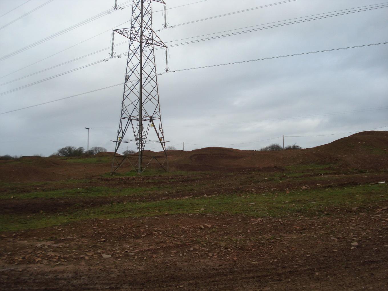
View to north showing ground erosion resulting from motor cycle scrambling
|
|
2
|
View to west showing ground erosion resulting from motor cycle scrambling
|
|
2
|
View to east showing ground erosion resulting from motor cycle scrambling
|
|
2
|
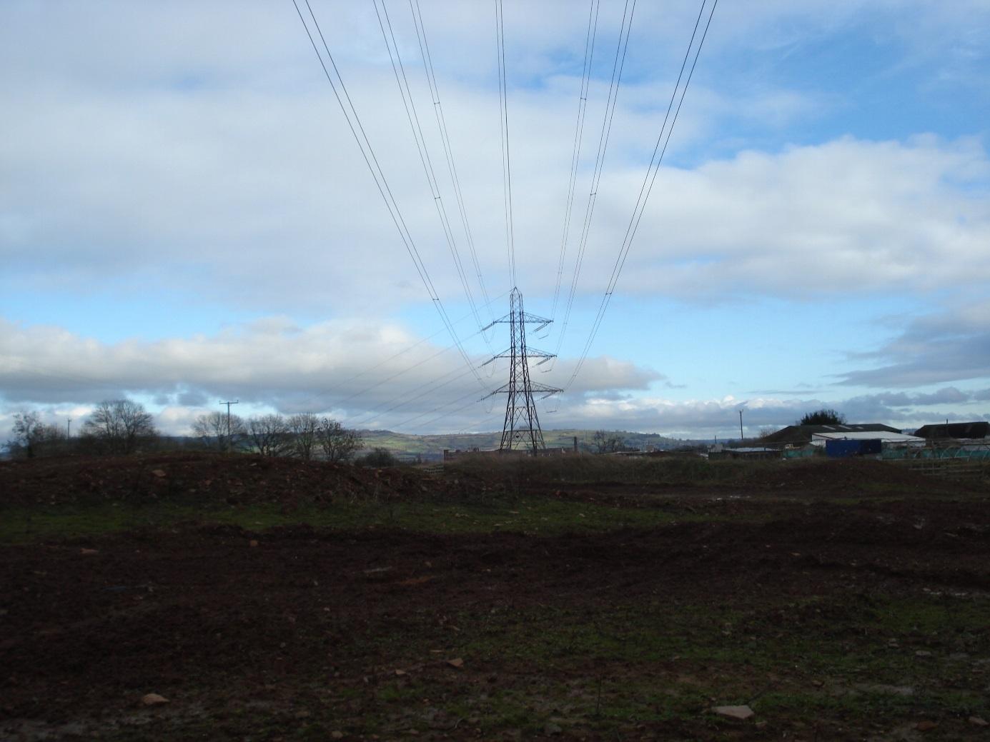
View to southeast showing motor cycle scramble track with Severn Project (horticultural activity) in background and Chandos Lodge
|
|
2
|
Residential caravans
|
|
2
|
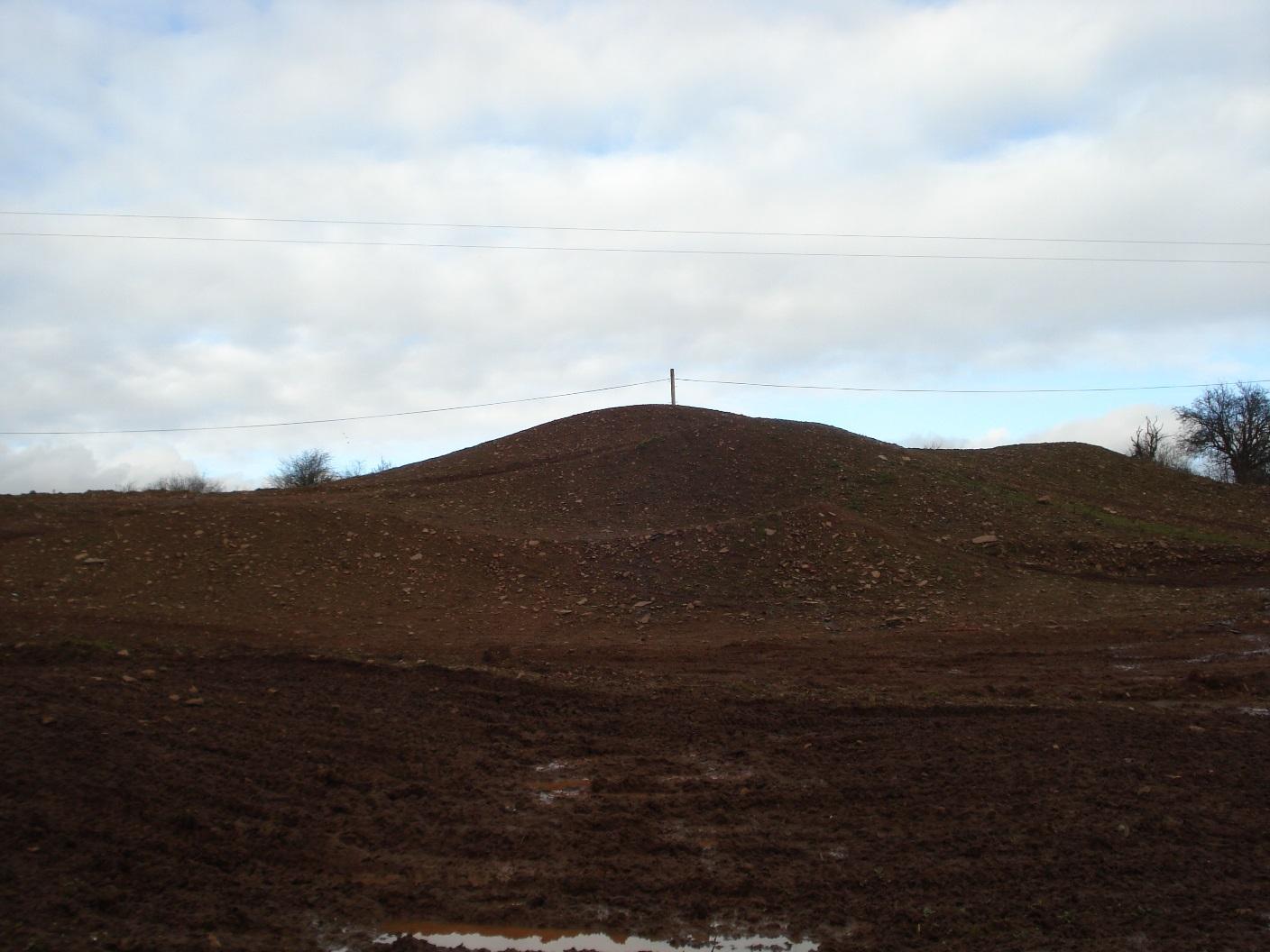
Ancient hill fort
|
|
2
|
View to northwest showing Ring Road bridge over river
|
|
2
|
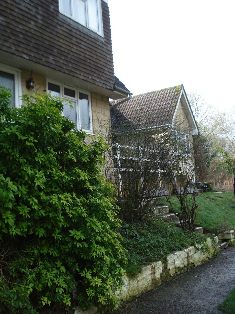
View to north showing rear of Lock Cottage and buildings on opposite riverbank
|
|
2
|
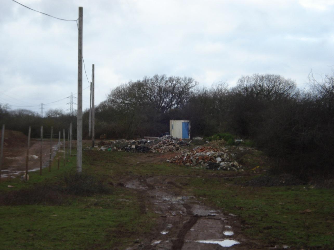
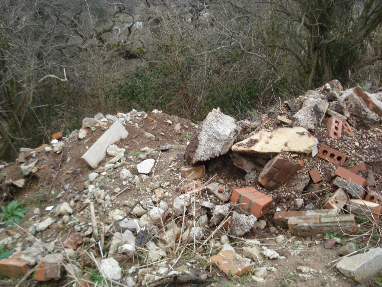
Tipping
|
|
2
|
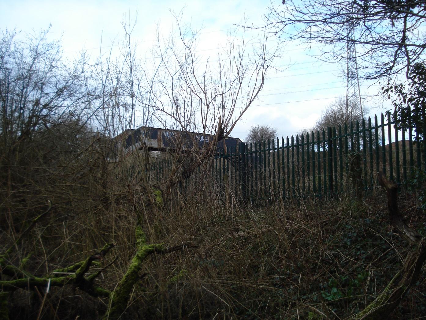
Structure
|
|
2
|
Tipping
|
|
2
|
Tipping
|
|
2
|
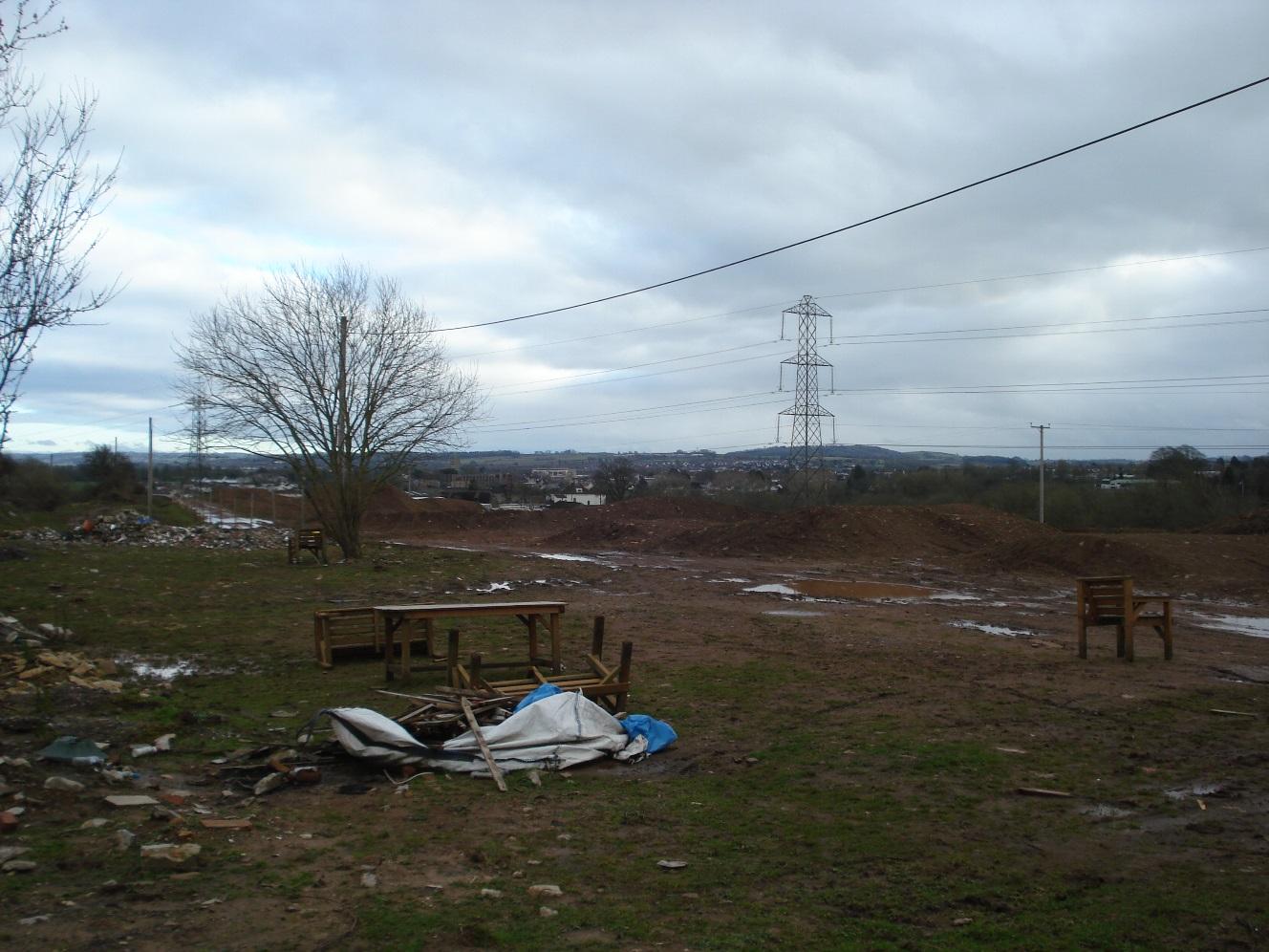
View to southeast, Chandos Lodge in background
|
|
2
|
Tipping
|
|
2
|
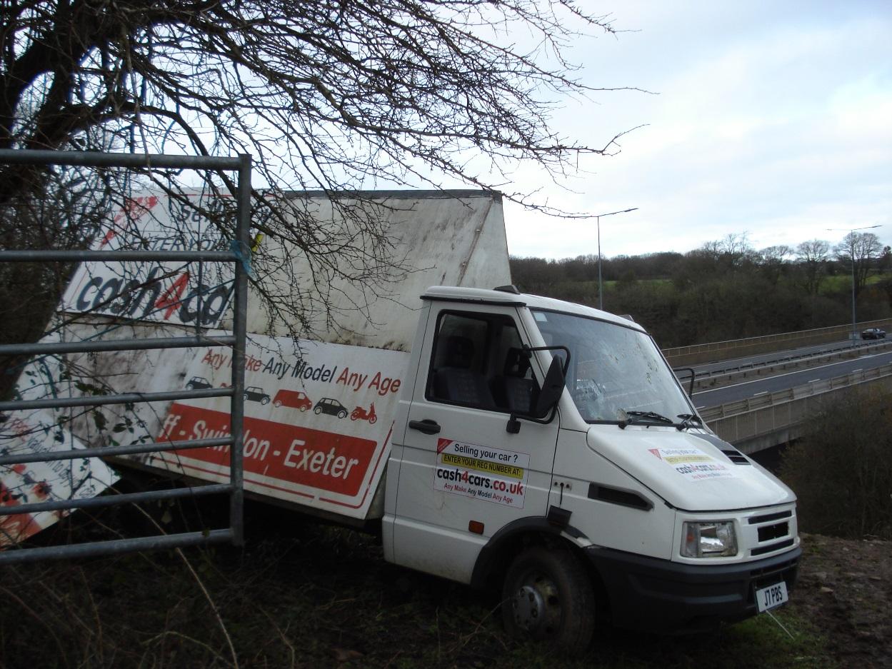
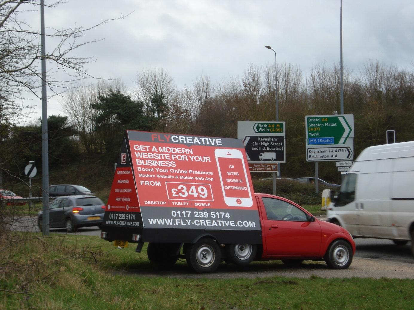
advertising display on parked vehicle
|
|
2
|
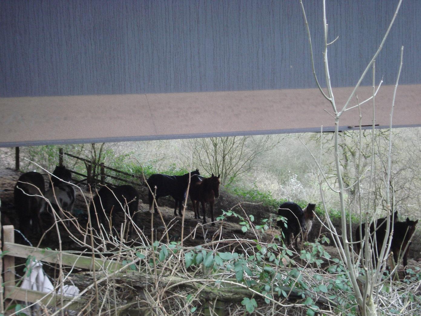
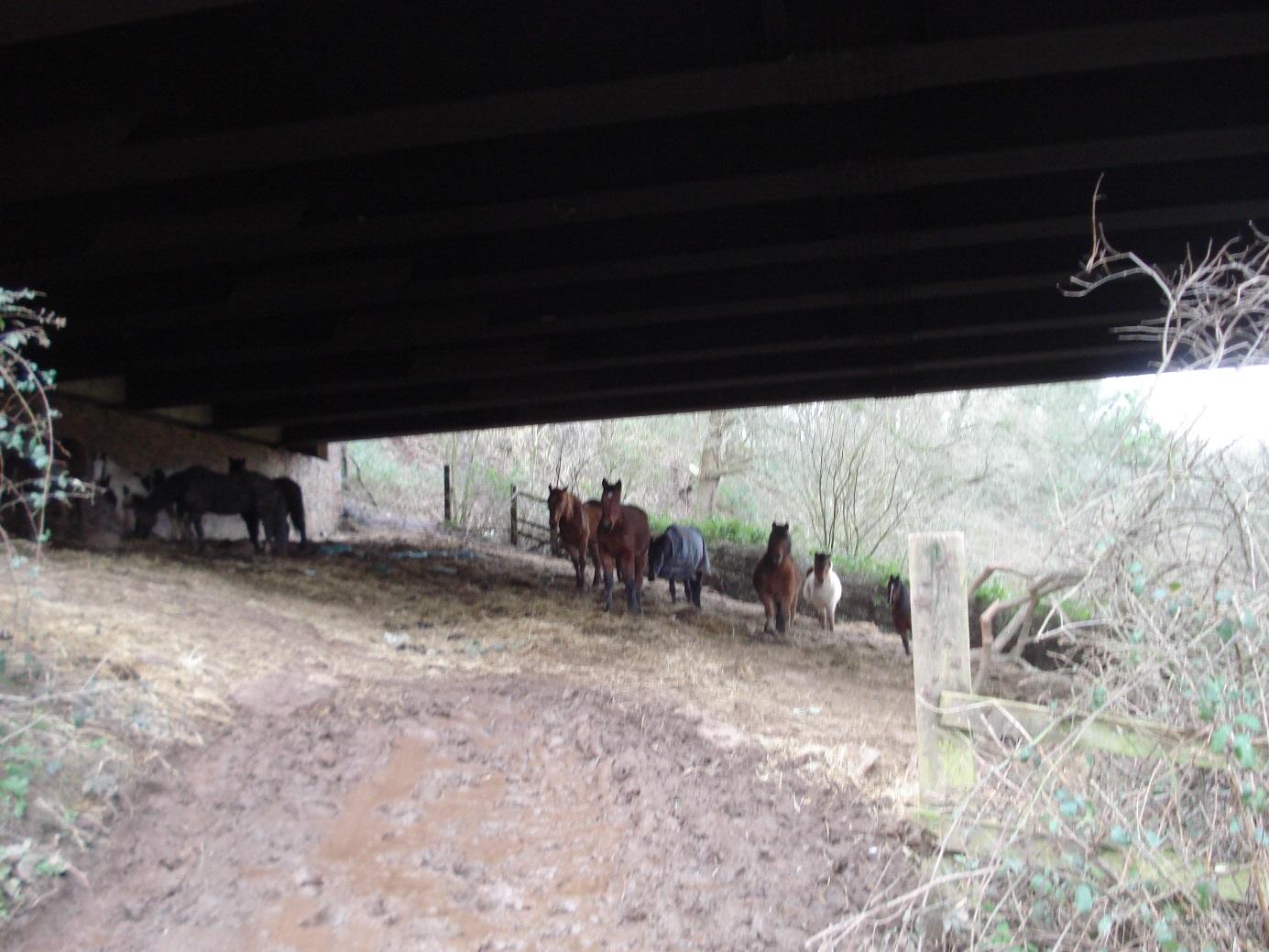
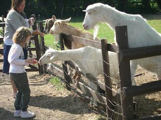
Horses stabled under road bridge
|
|
2
|
Horses stabled under road bridge
|
|
2
|
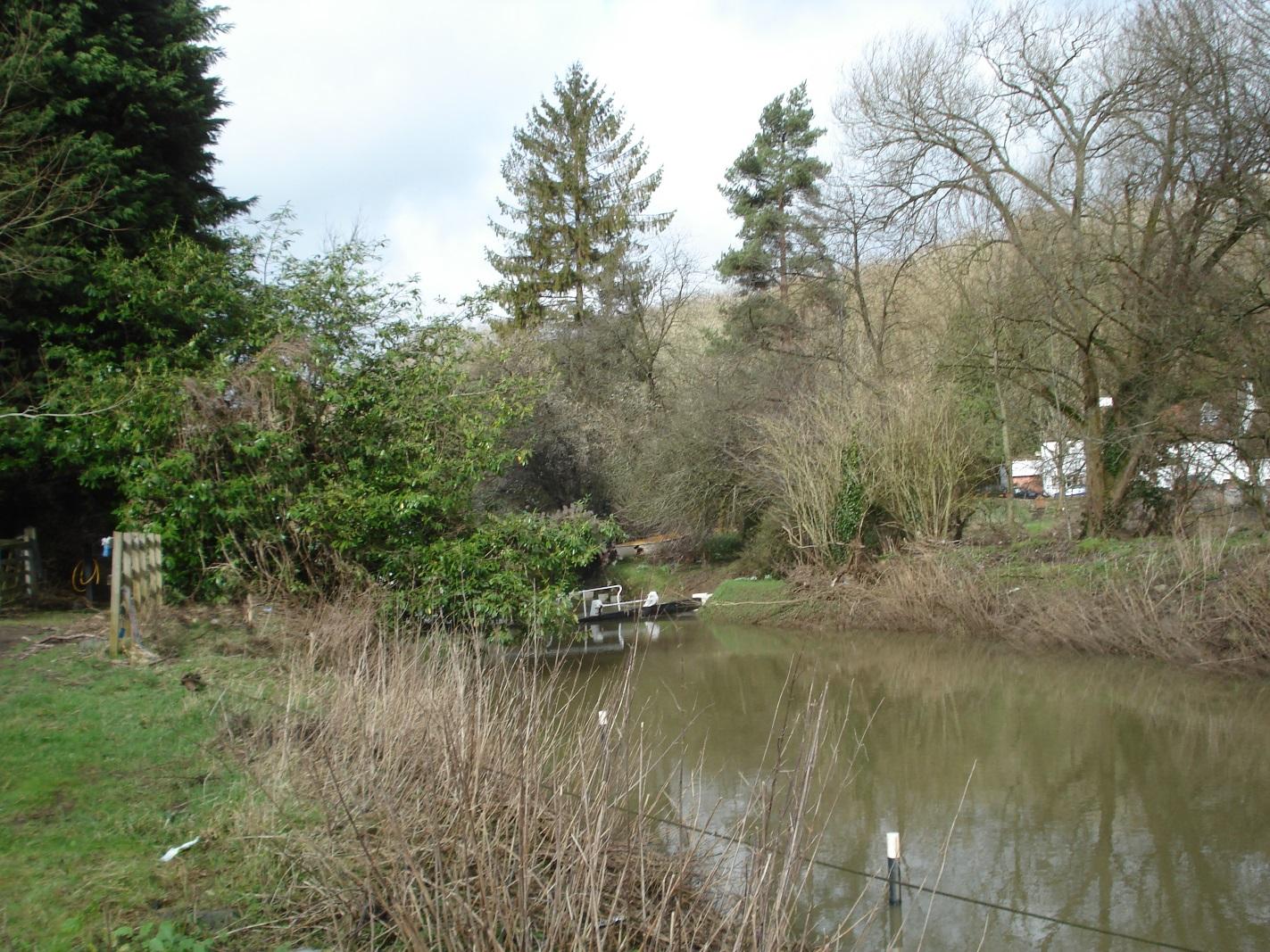
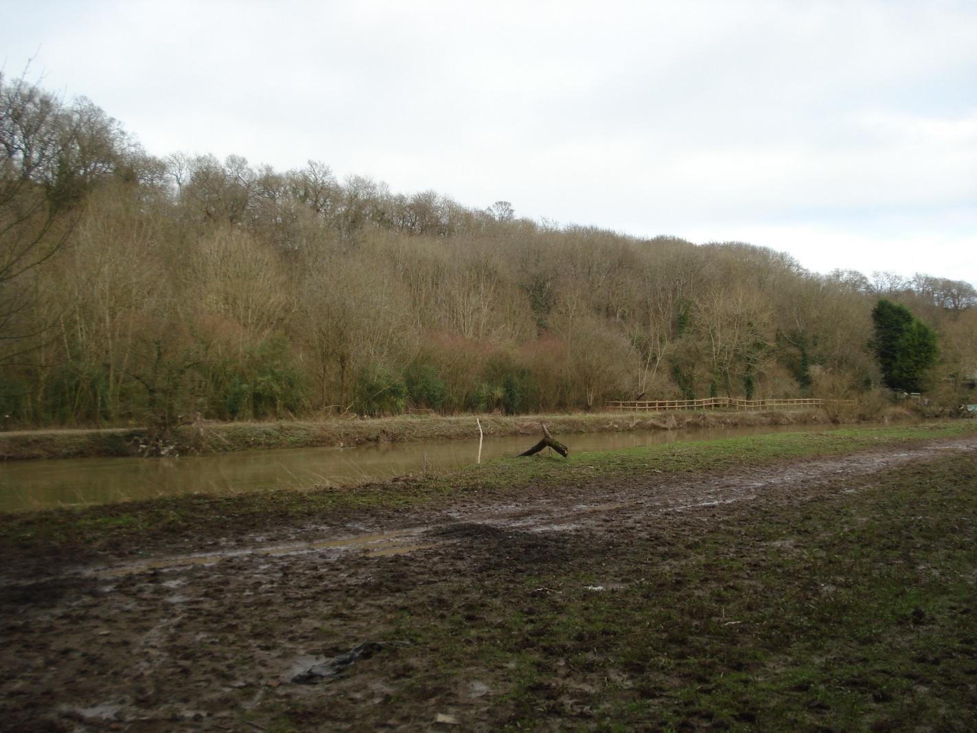
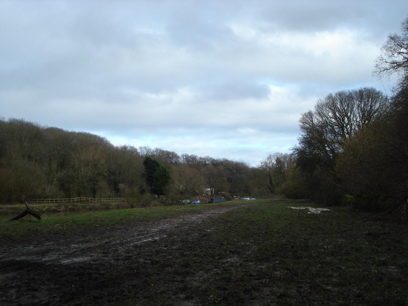
River frontage to the west of Hanham Lock
|
|
2
|
River frontage to the west of Hanham Lock
|
|
2
|
View of Ring Road Bridge over river
|
|
2
|
Evidence of motor cycle scrambling
|
|
2
|
Evidence of motor cycle scrambling
|
|
2
|
Hill fort
|
|
2
|
Steep slope running down to rear of Lock Cottage
|
|
2
|
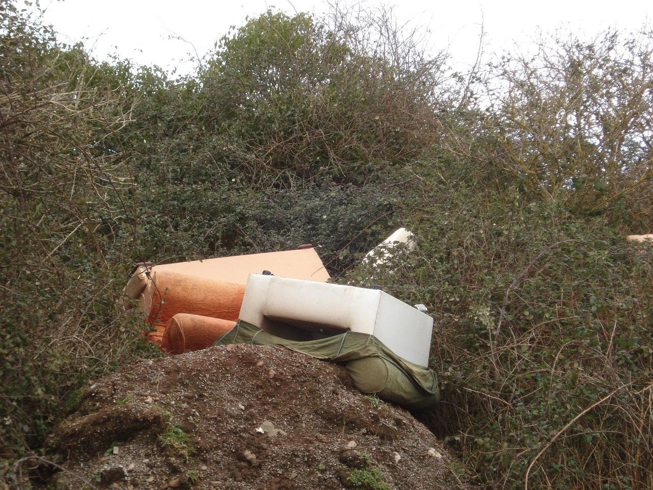
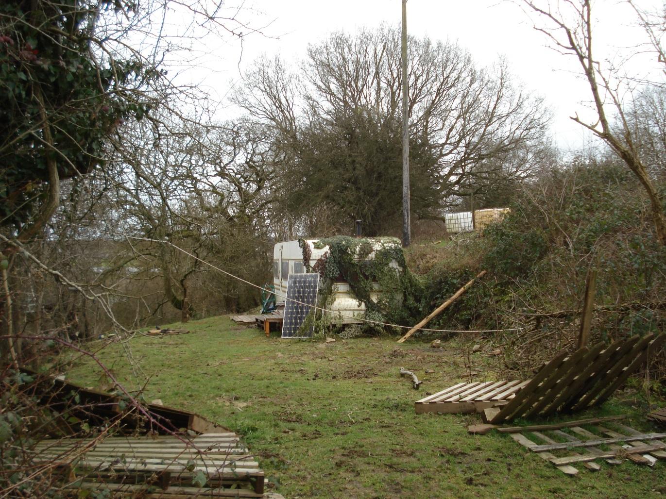
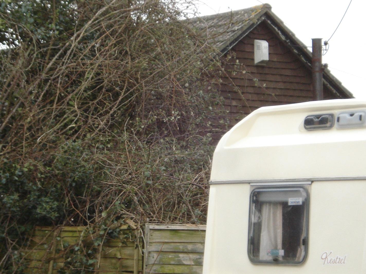
Part-camouflaged residential caravan
|
|
2
|
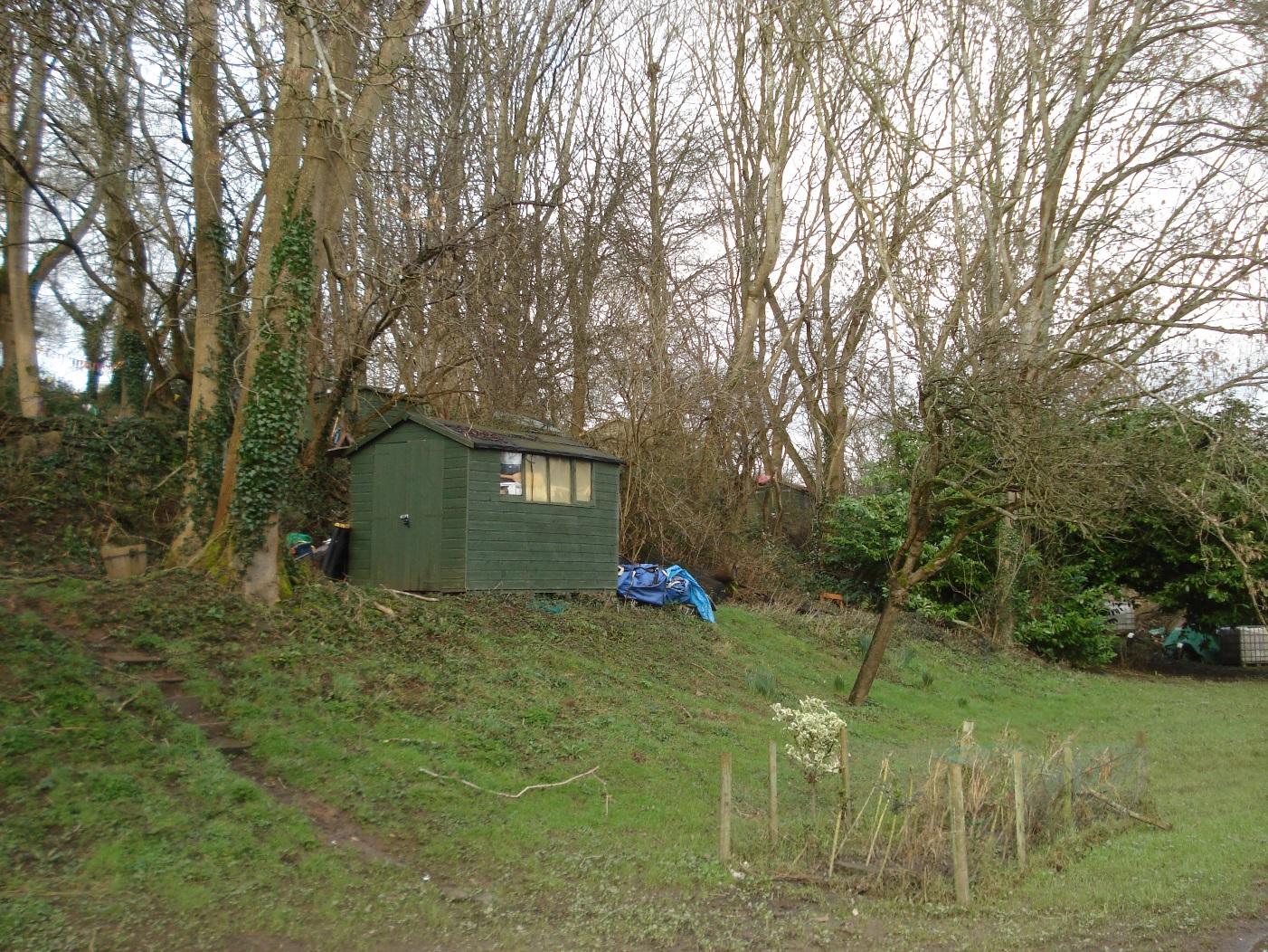
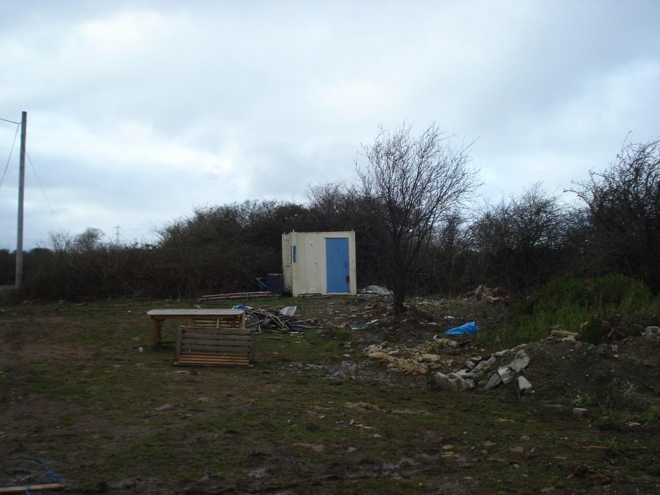
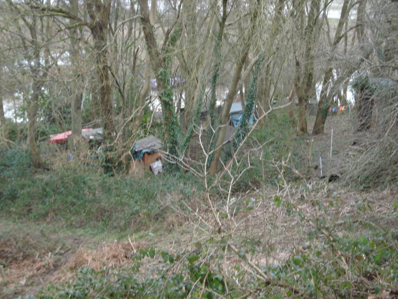
Sheds erected by boat dwellers
|
|
2
|
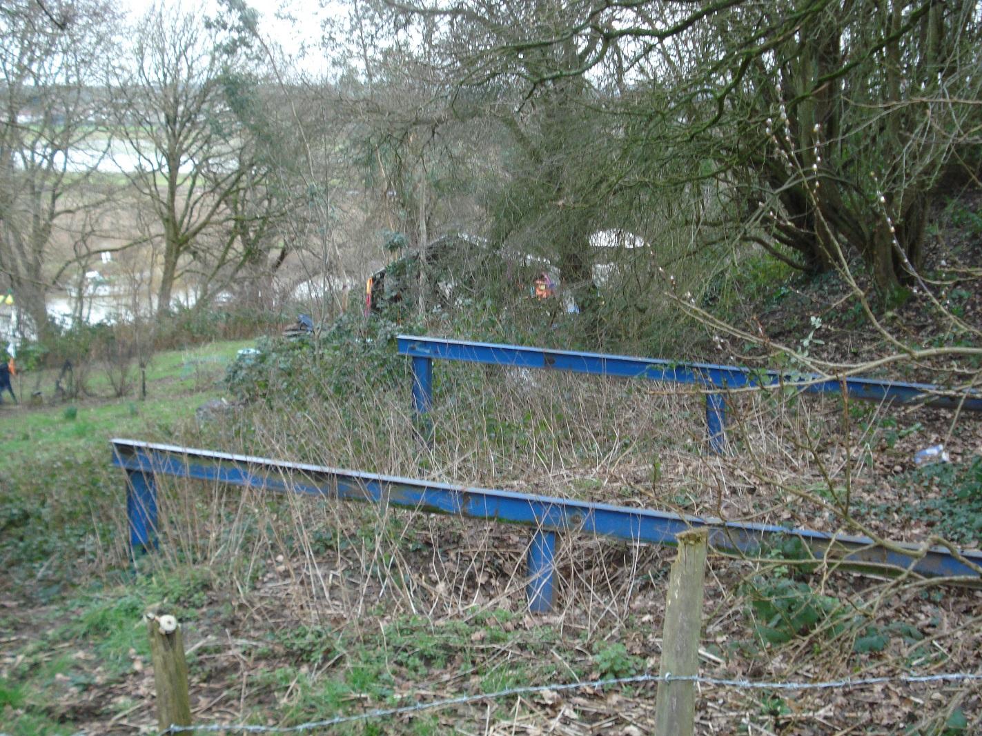
Sheds erected by boat dwellers, note girder platform in foreground
|
|
2
|
Concealed container dwelling seen from rear
|
|
2
|
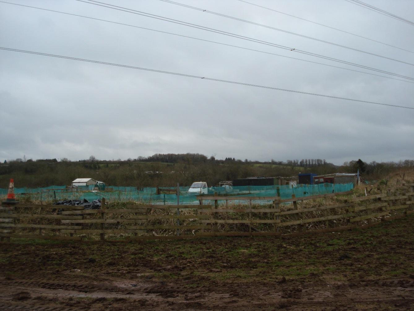
Enclosure containing horseboxes, residential caravans and dog kennels
|
|
2
|
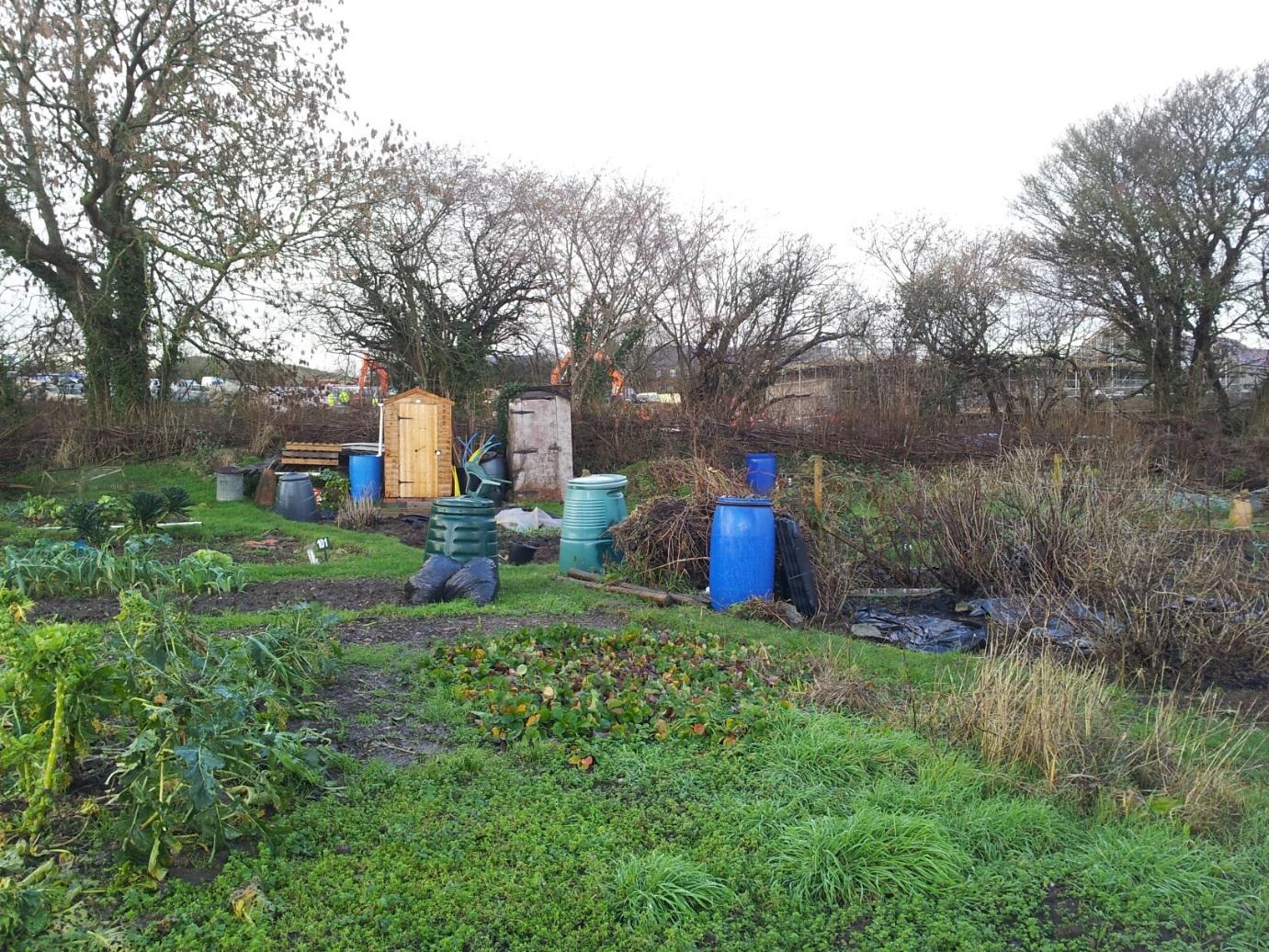
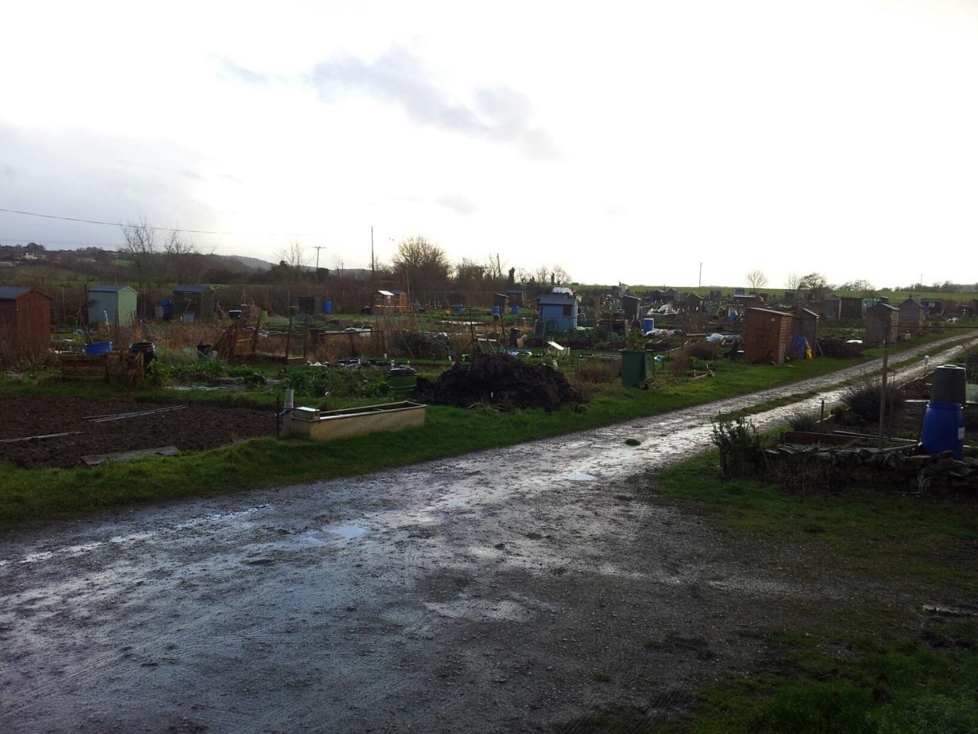
Severn Project (horticulture)
|
|
2
|
Motor cycle scramble track across public footpath
|
|
2
|
Footpath alongside stream in Humpty Dumps
|
|
2
|
Pennant sandstone outcrop
|
|
2
|
Ring Road looking northeast
|
|
2
|
Ring Road looking southwest
|
|
2
|
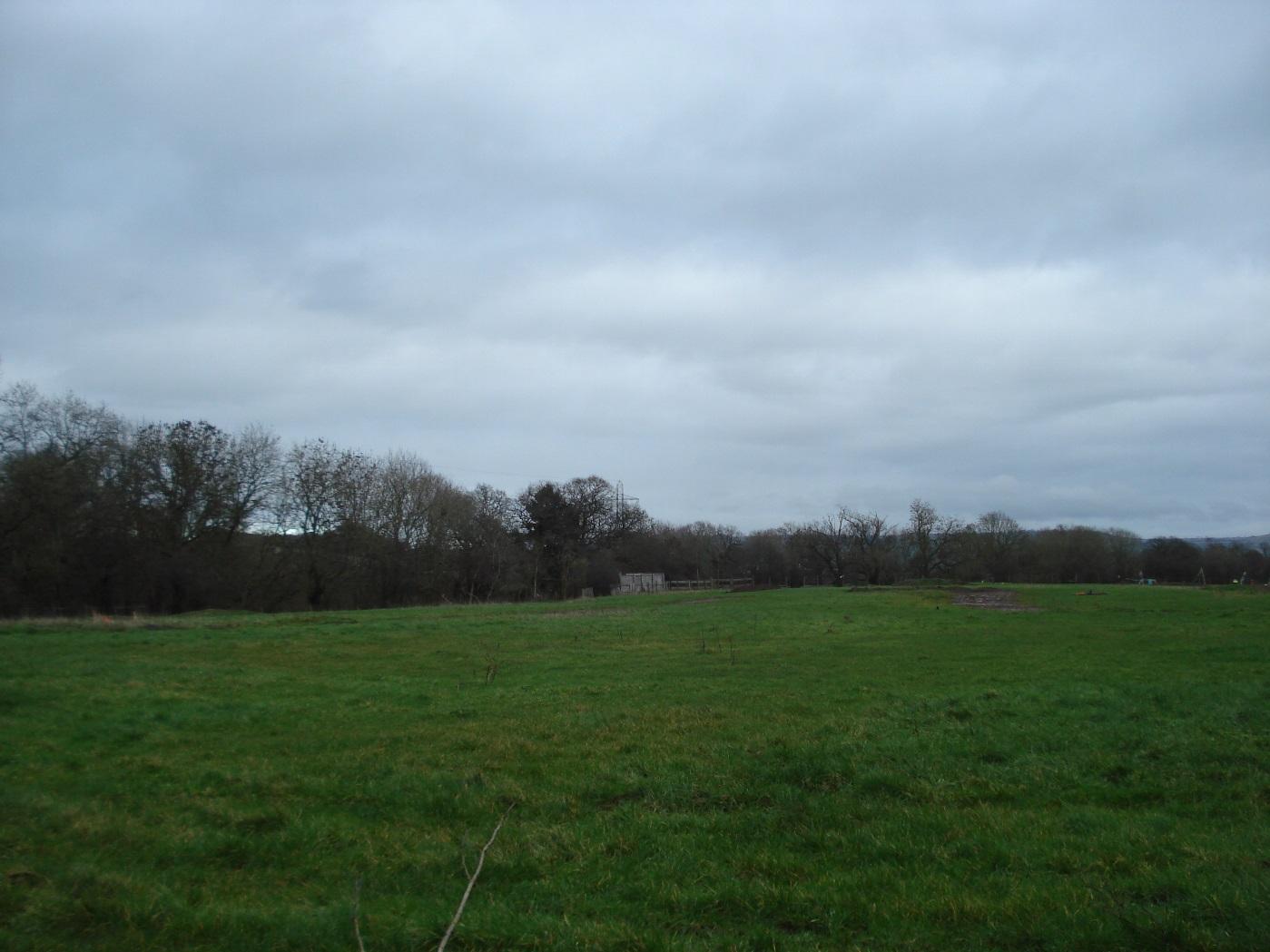
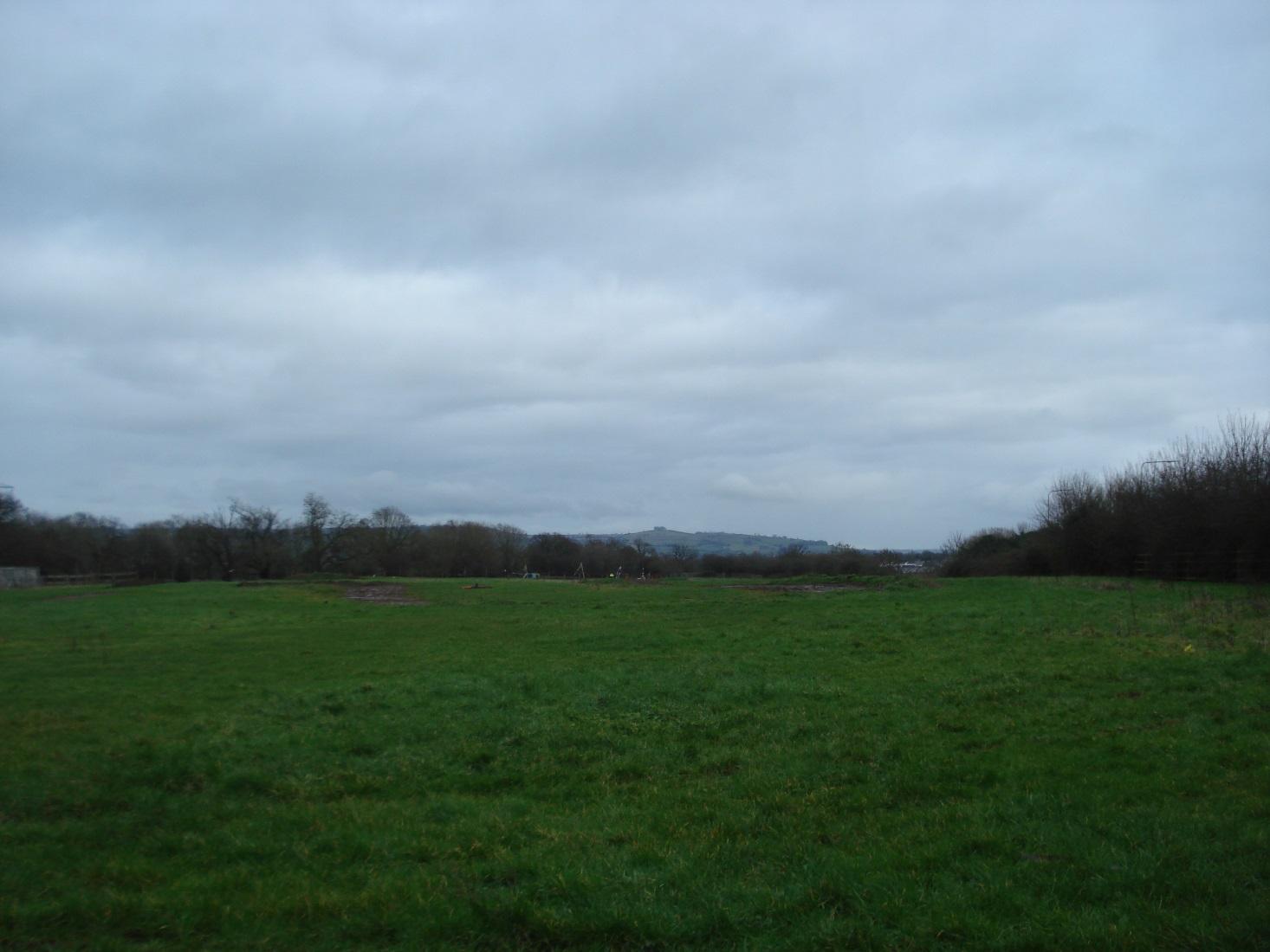
View of field to east
|
|
2
|
View to east of field, note Kelston Roundhill in far distance
|
|
2
|
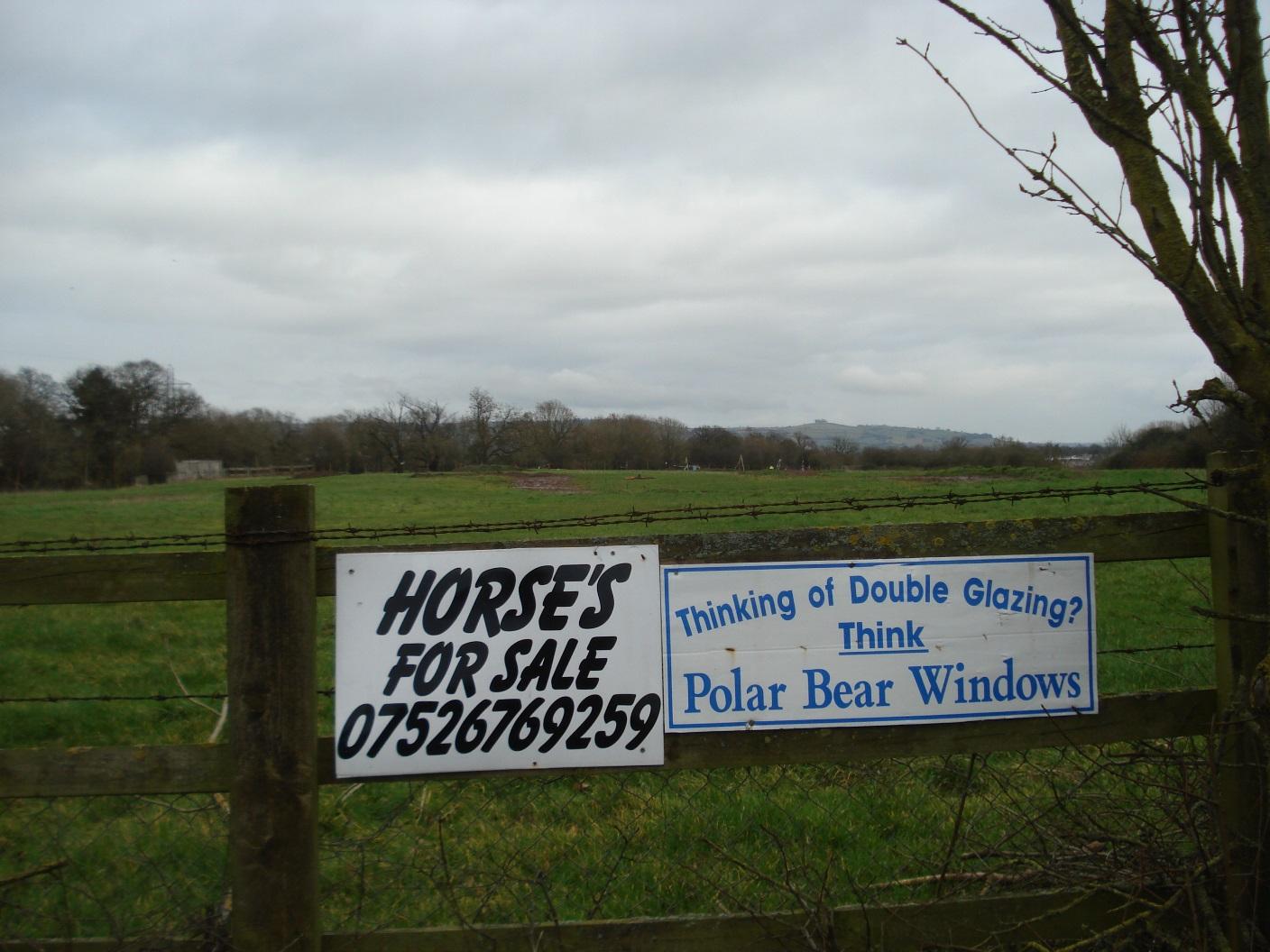
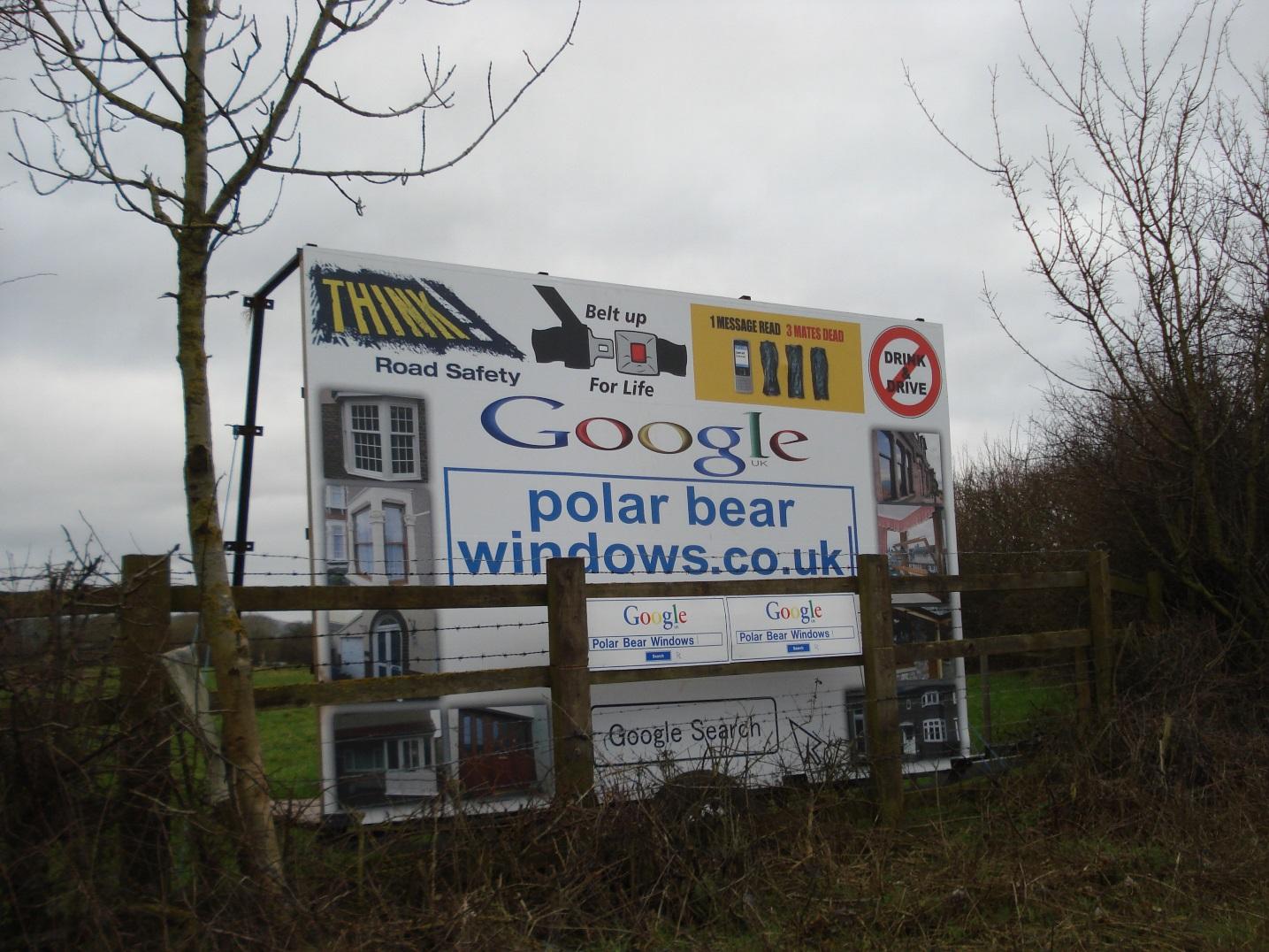
Advertising signboards
|
|
2
|
Advertising signboard
|
|
2
|
Advertising signboard
|
|
2
|
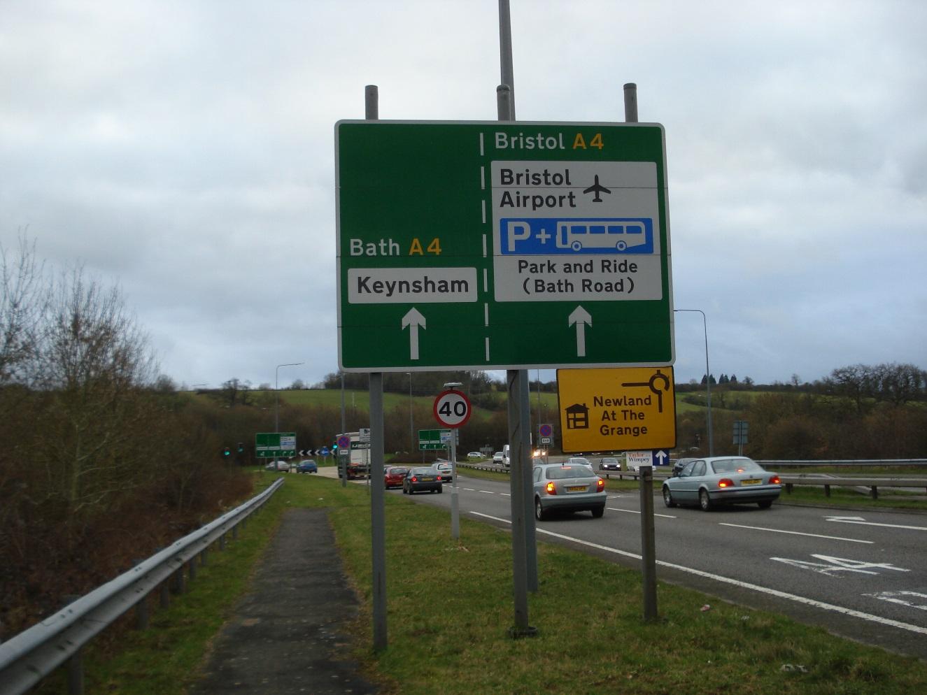
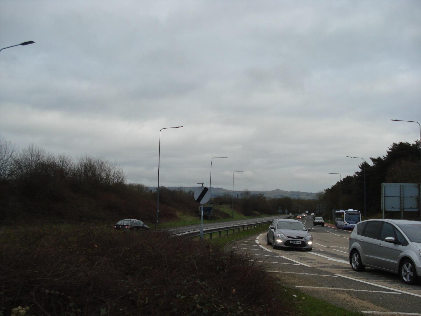
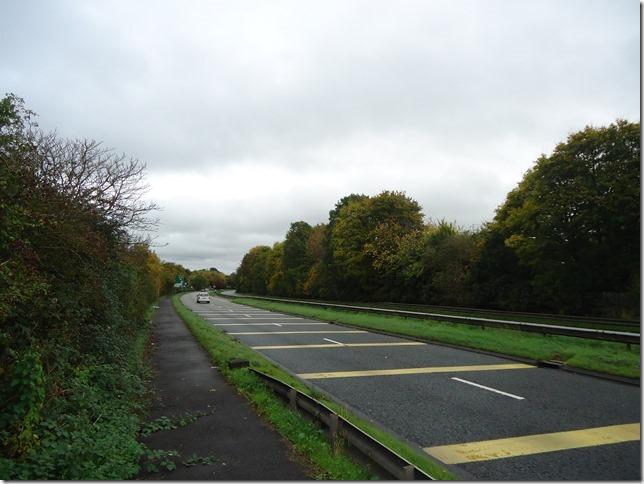
View of A4 to the southeast
|
|
2
|
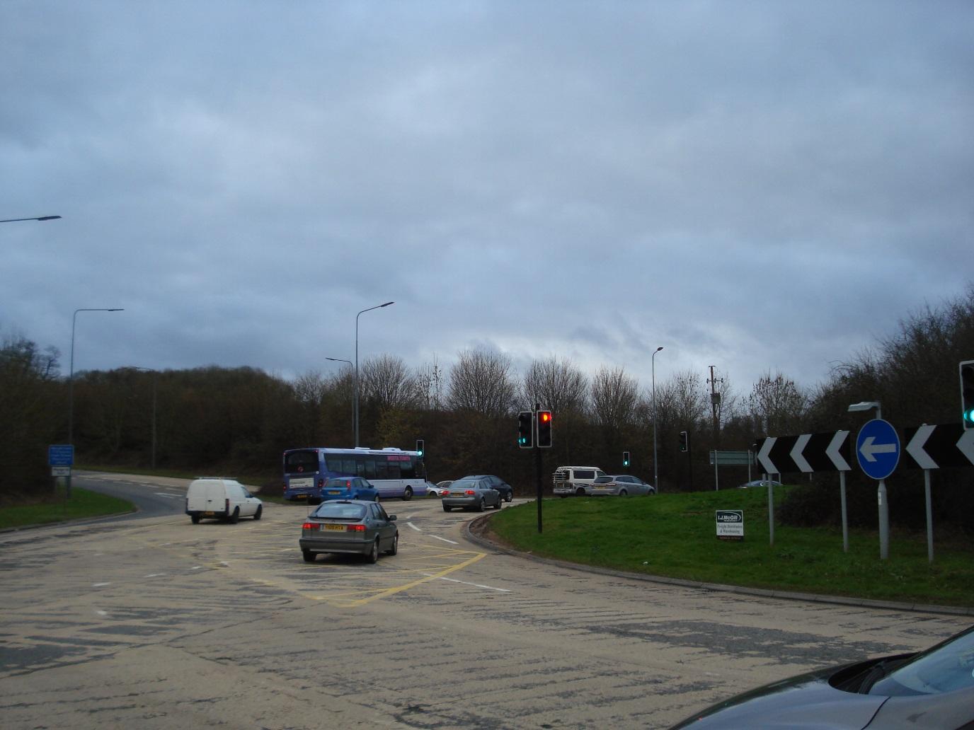
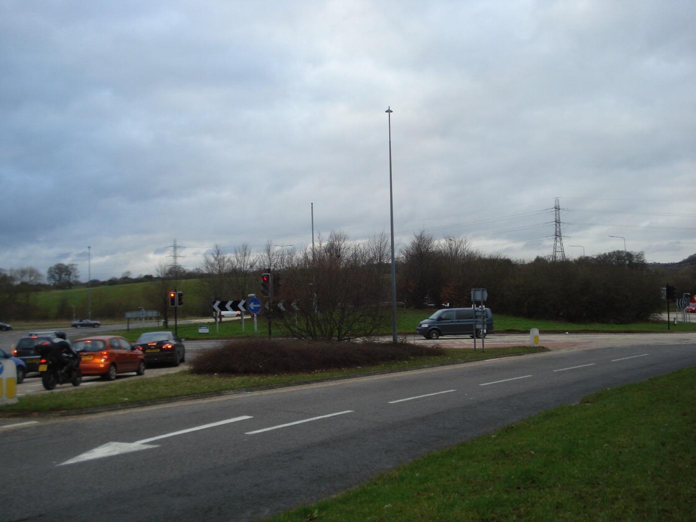
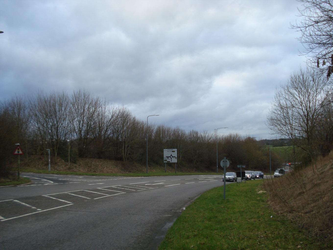
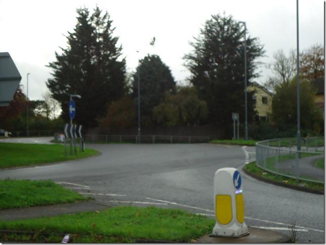
Hicks Gate roundabout view to northwest
|
|
2
|
Hicks Gate roundabout view to southwest
|
|
2
|
Land used for arboriculture
|
|
2
|
Land used for arboriculture
|
|
2
|
Hicks Gate roundabout looking north
|
|
2
|
A4175 looking south
|
|
2
|
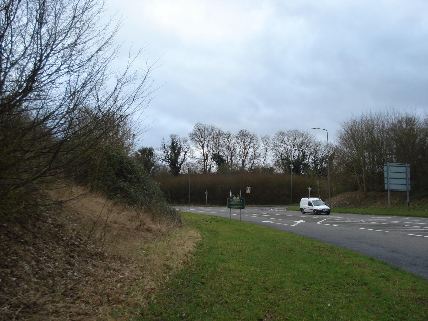
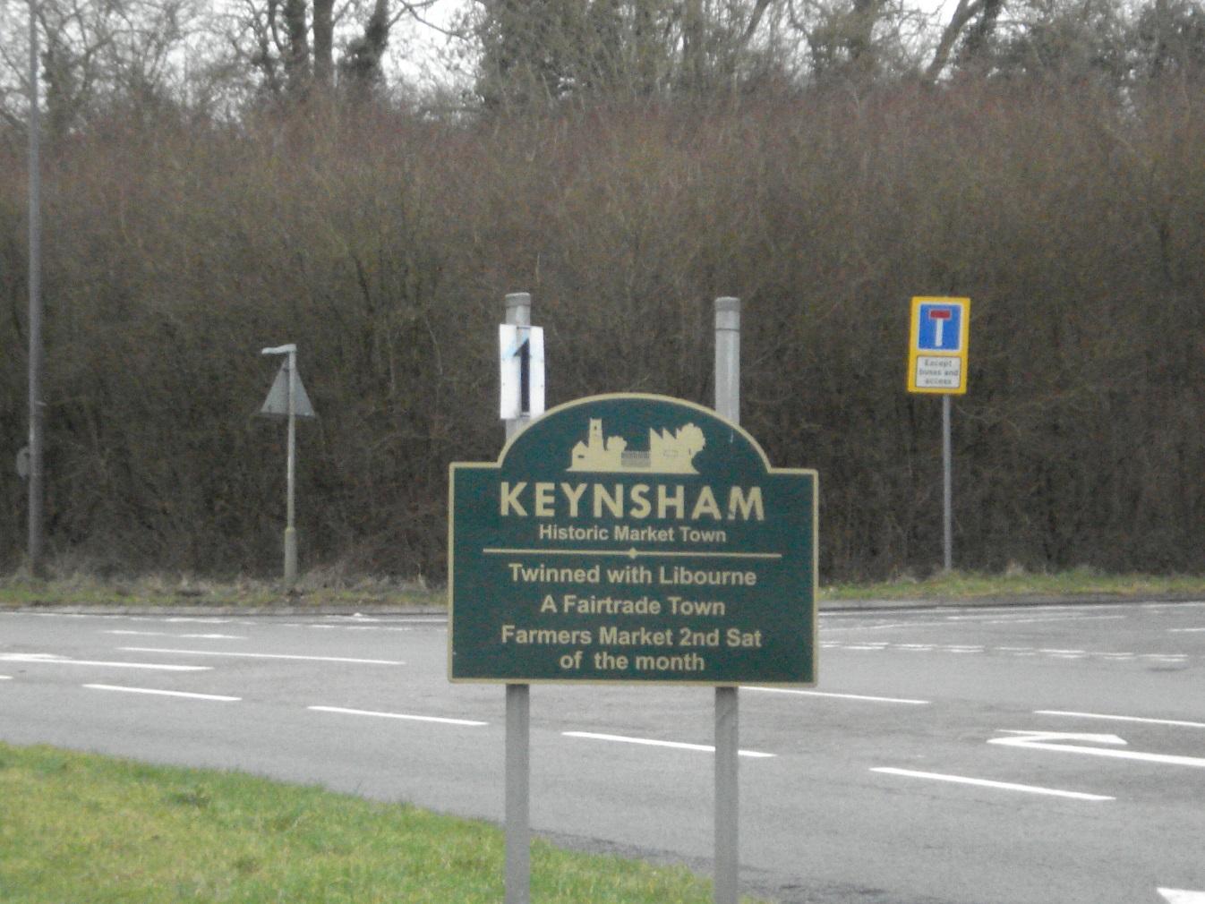
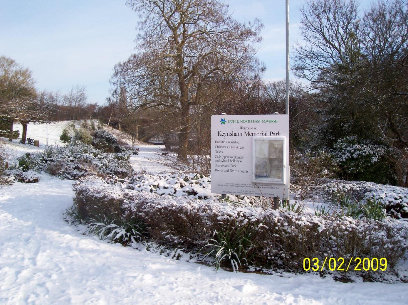
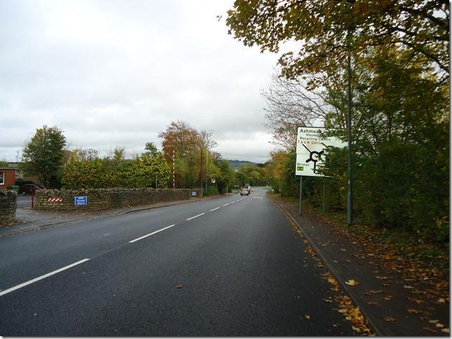
Sign marking entrance to Keynsham
|
|
2
|
A4175 looking southeast
|
|
2
|
A4175 looking northwest
|
|
2
|
Arboriculture site looking north
|
|
2
|
Arboriculture site looking east
|
|
2
|
Arboriculture site looking west
|
|
2
|
A4175 looking southeast
|
|
2
|
A4175 looking northwest
|
|
2
|
Entrance to arboriculture site
|
|
2
|
A4175 looking southeast
|
|
2
|
Scrub woodland looking north
|
|
2
|
A4175 looking southeast
|
|
2
|
Kew Cottage, Durley Hill
|
|
2
|
Durley Cottage, Durley Hill
|
|
2
|
The Lodge, Durley Hill
|
|
2
|
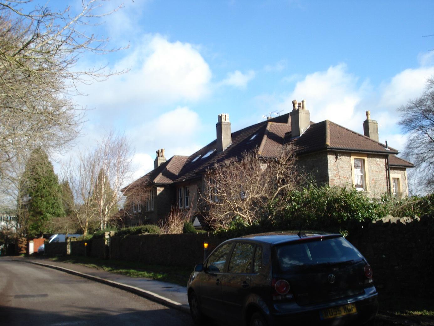
Abbotshill, Durley Park east side
|
|
2
|
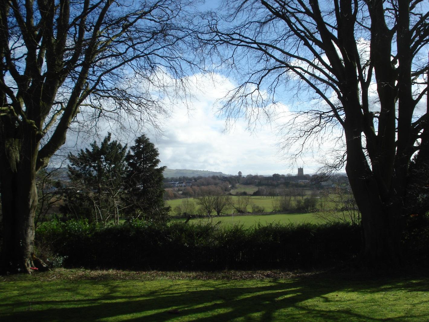
View to the east
|
|
2
|
Abbotshill and Avon Prior west side
|
|
2
|
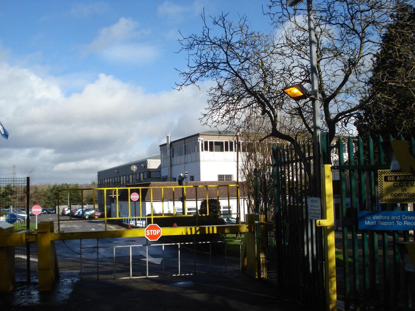
Durley Park offices (Babcock International)
|
|
2
|
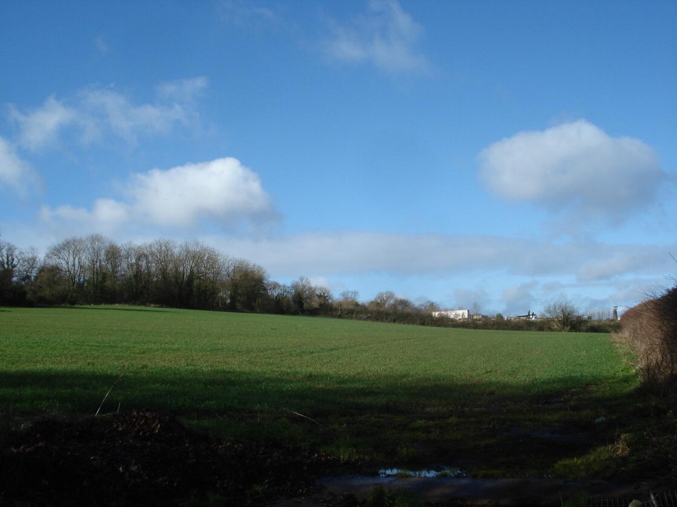
Agricultural land looking due west, arboriculture site in background
|
|
2
|
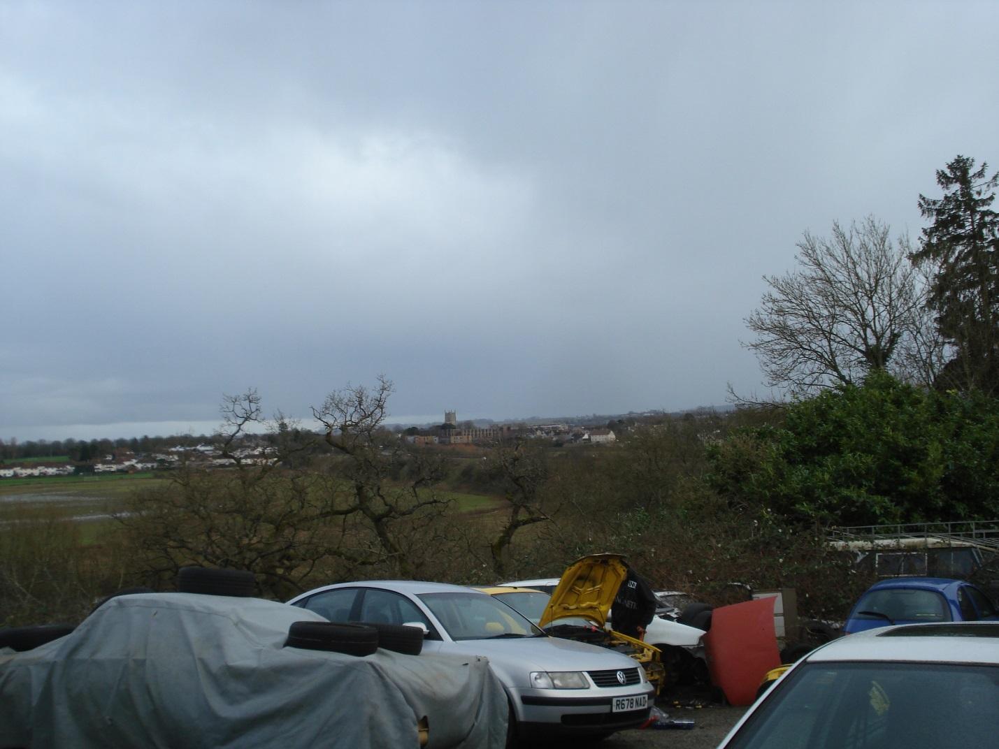
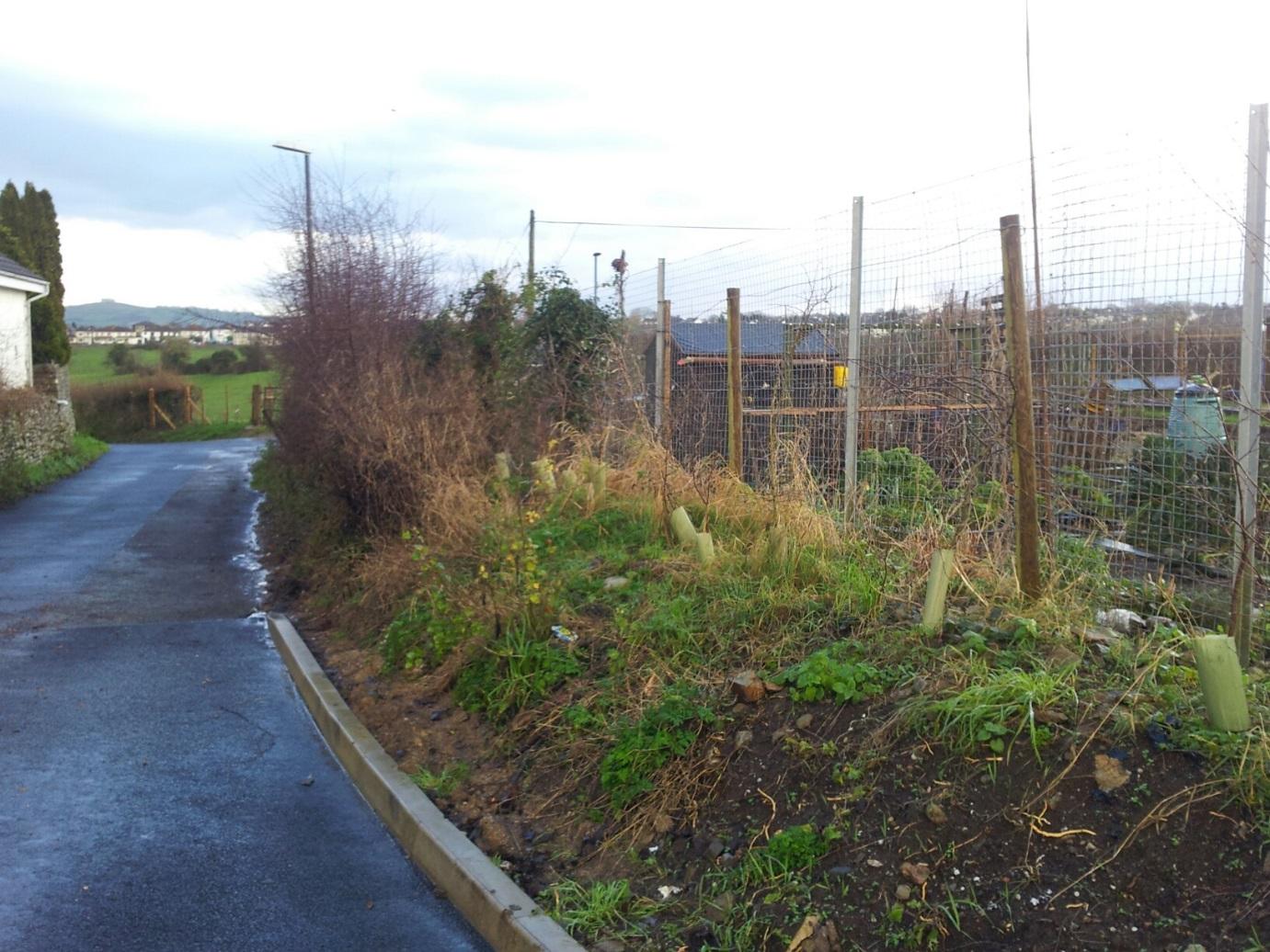
Storage of buildering materials, caravans and vehicles
|
|
2
|
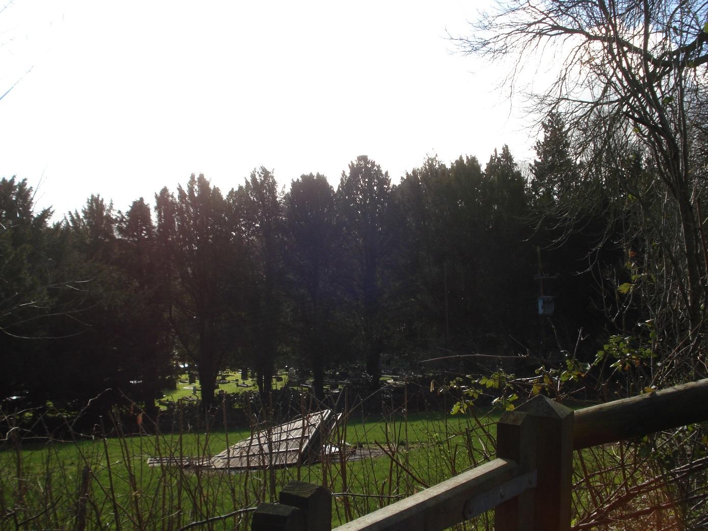
Keynsham Cemetery
|
|
2
|
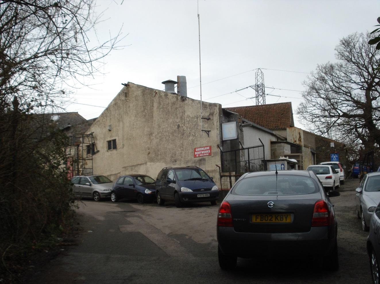
Chandos Lodge Industrial Estate, Greenlane Bodyworks
|
|
2
|
Chandos Lodge Industrial Estate, DIY Double Glazing Co.
|
|
2
|
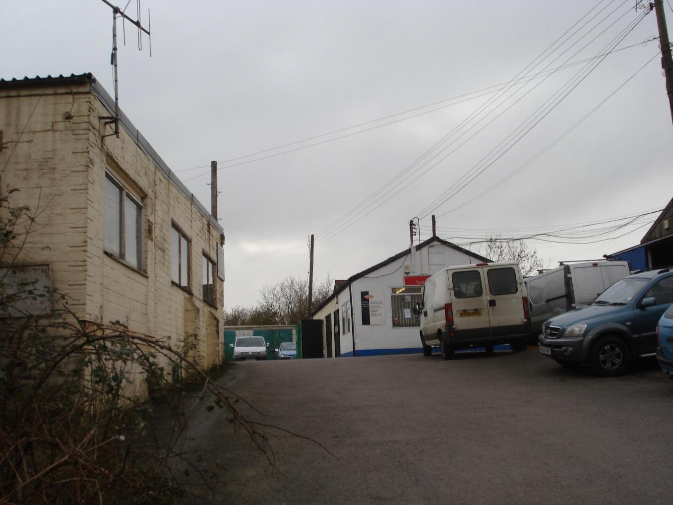
Chandos Lodge Industrial Estate, Tom Day Fuel Injection
|
|
2
|
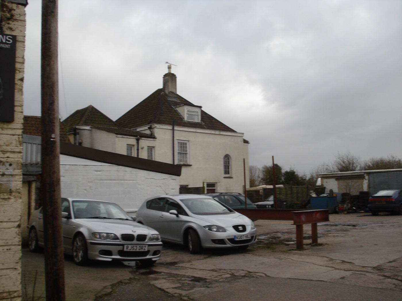
West side of Chandos Lodge
|
|
2
|
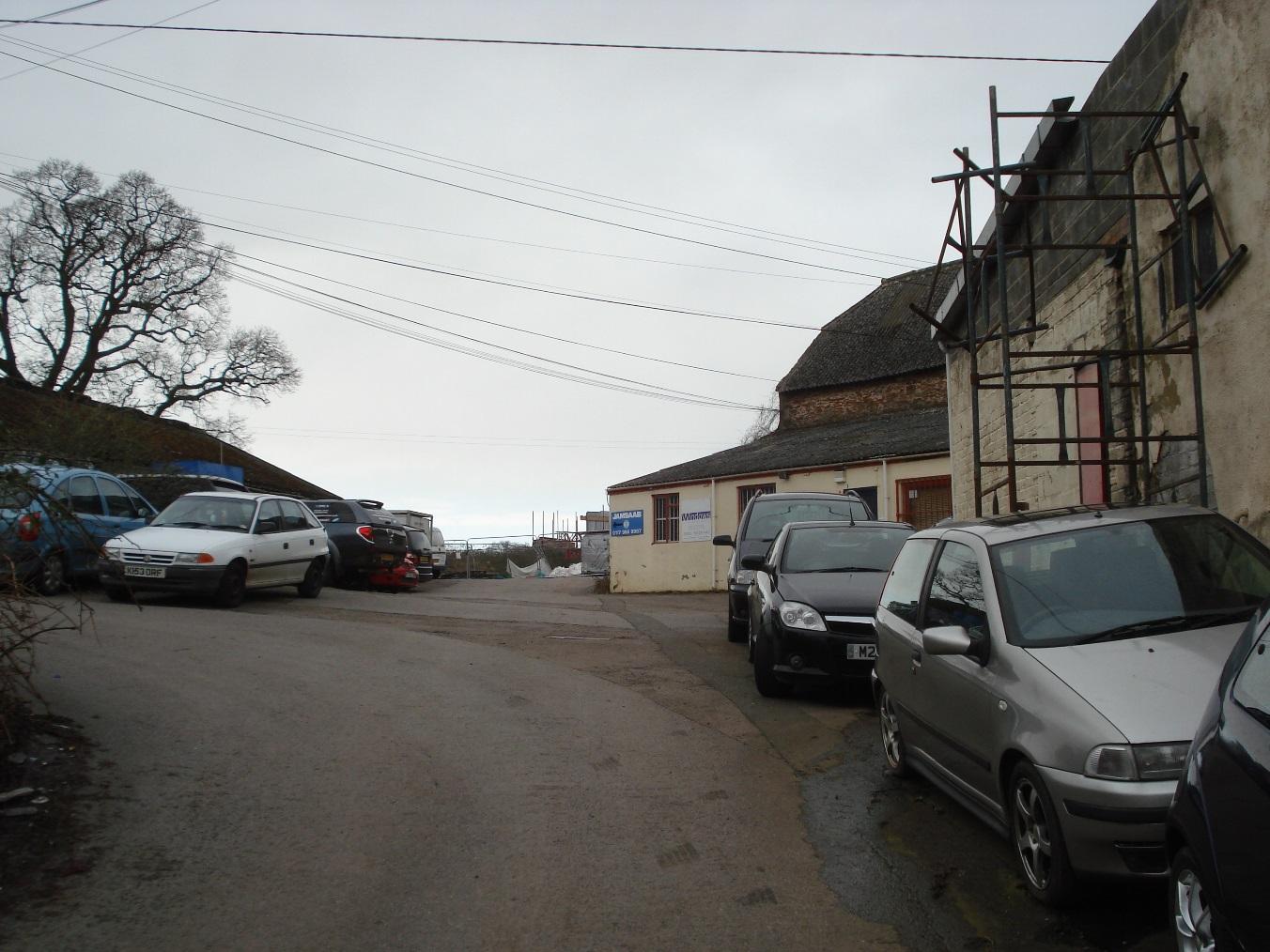
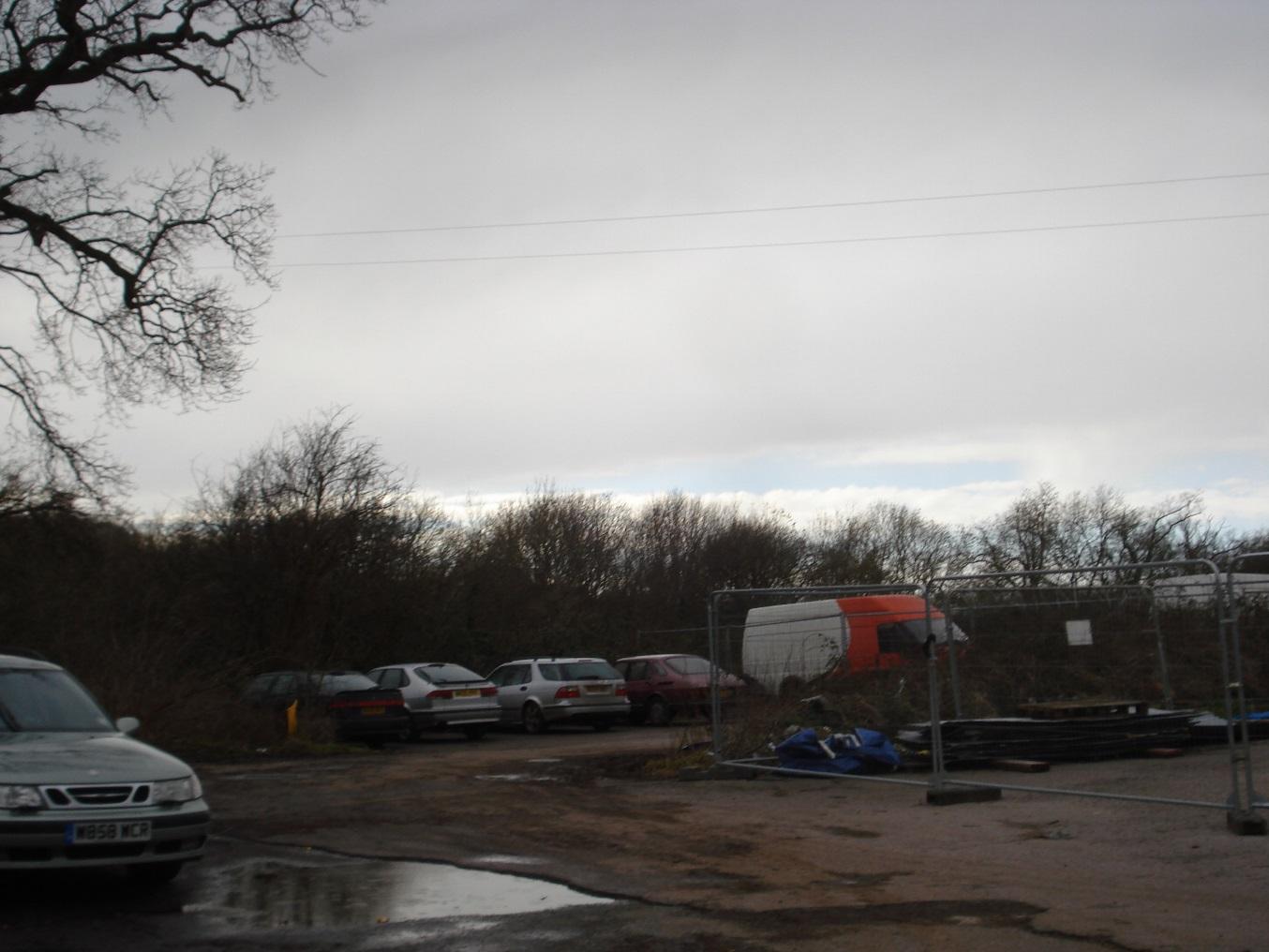
Chandos Lodge Industrial Estate, Jam Saab parking area
|
|
2
|
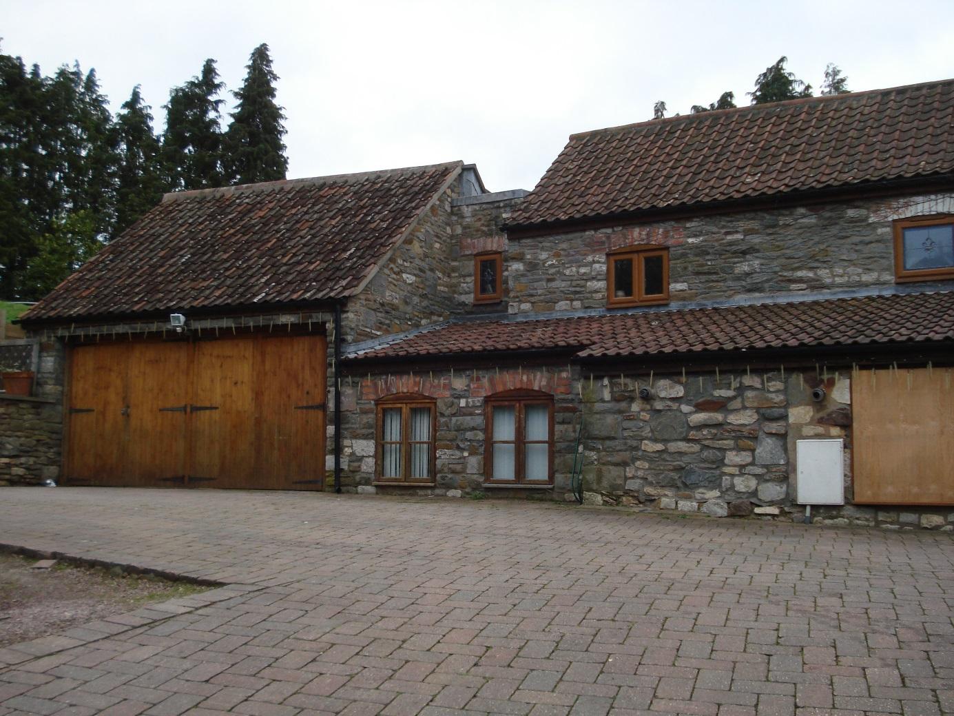
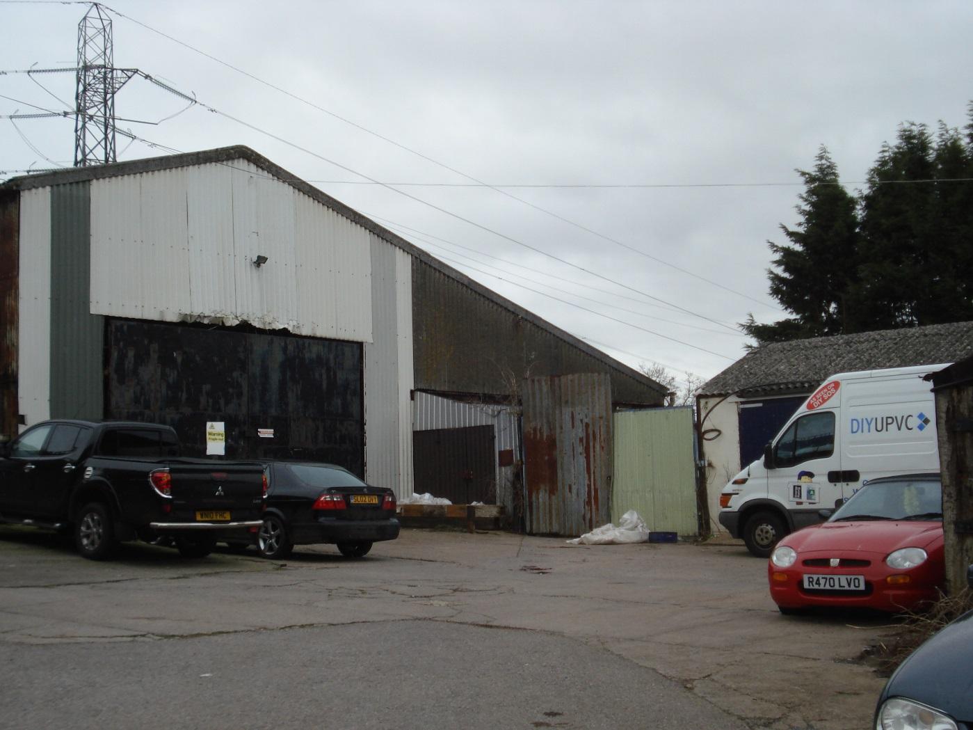
Former barns, used for the storage of scaffolding
|
|
2
|
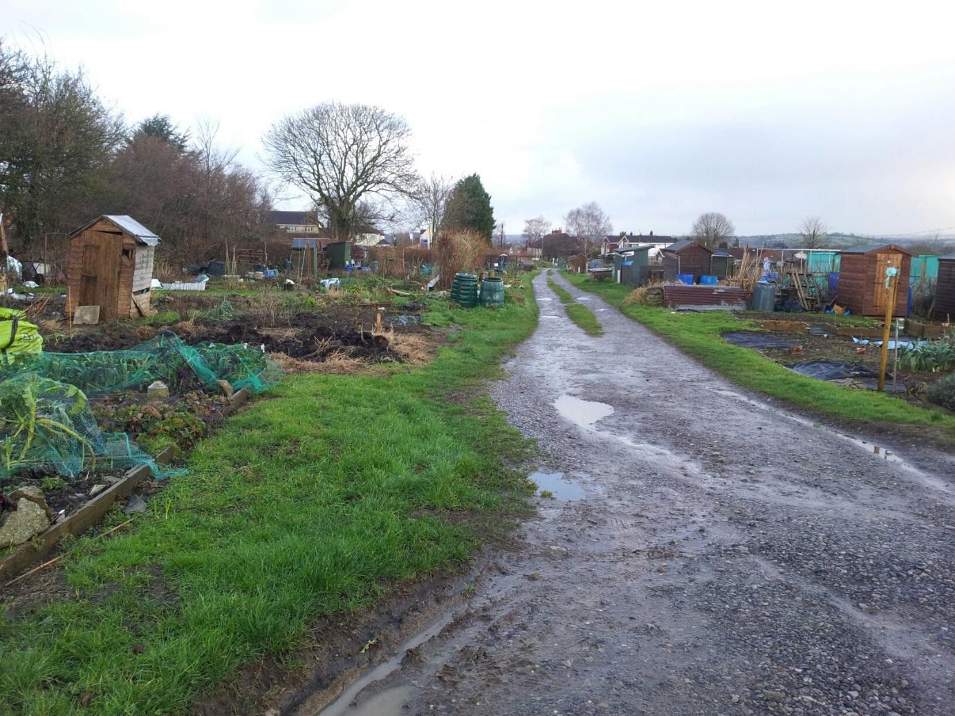
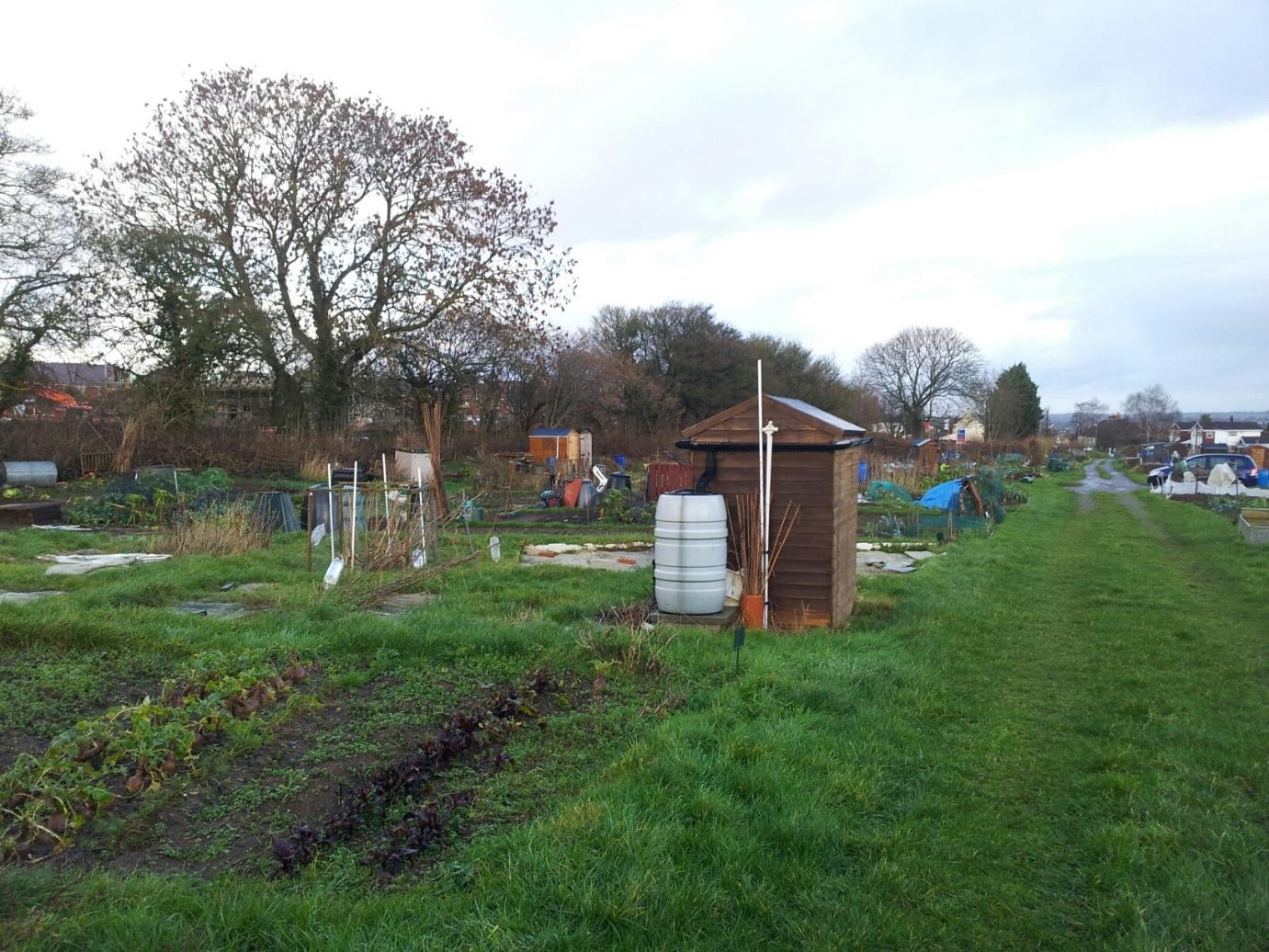
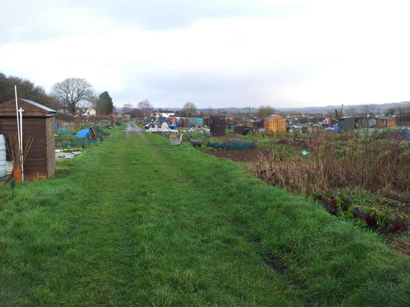
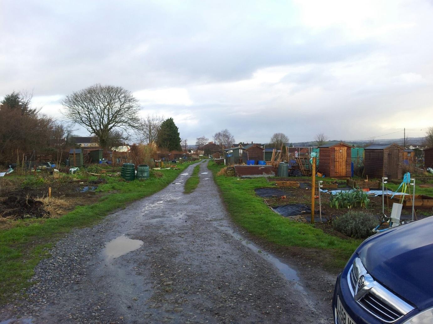
Roadway with Severn Project horticultural site on left hand side
|
|
2
|
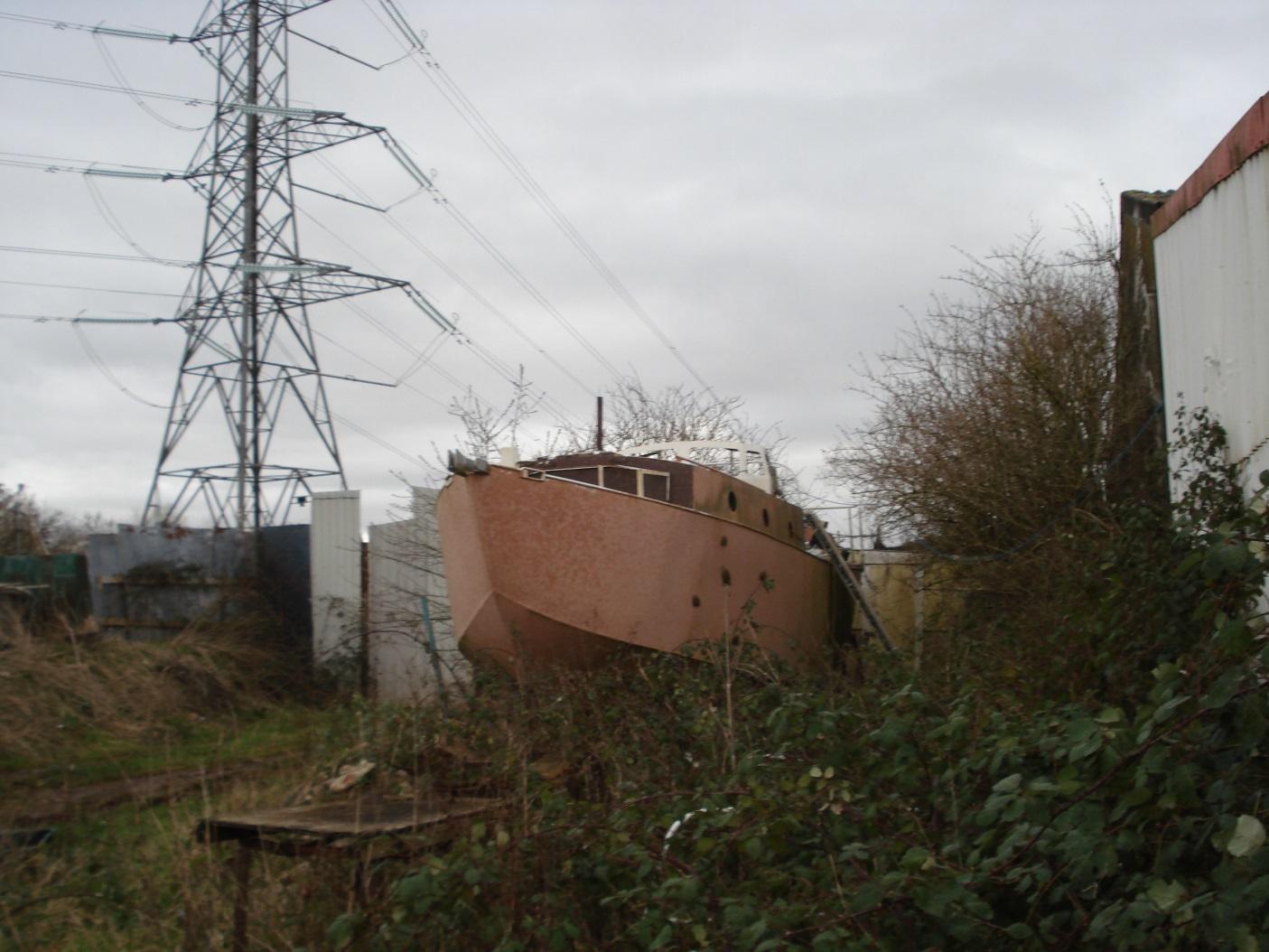
Part-completed steel boat used as residence
|
|
2
|
Rear of The Bungalow, Durley Lane
|
|
2
|
View to the east showing Somerdale
|
|
2
|
View to the southeast
|
|
6
|
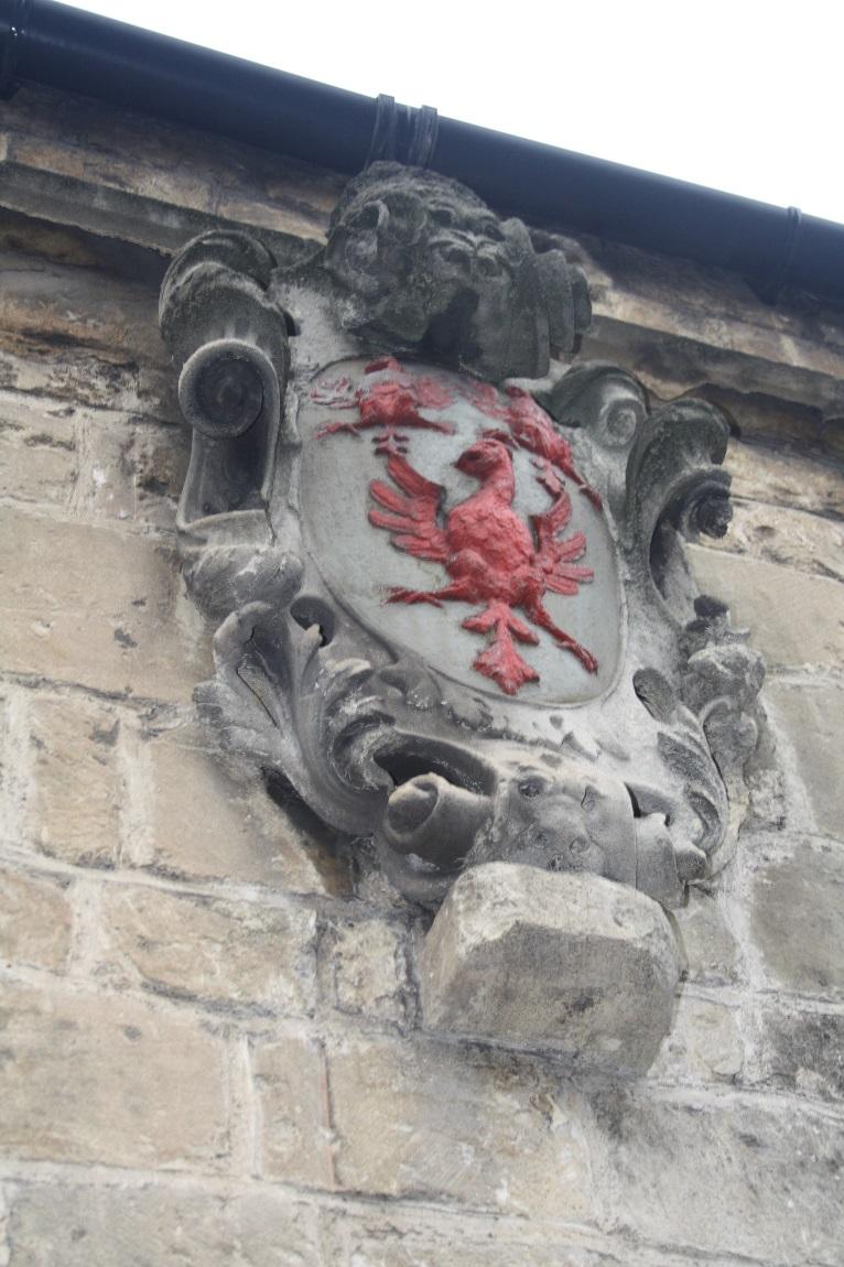
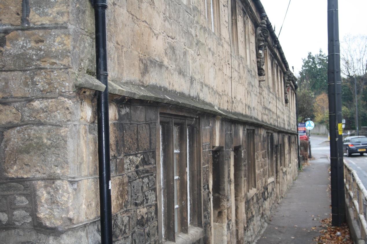
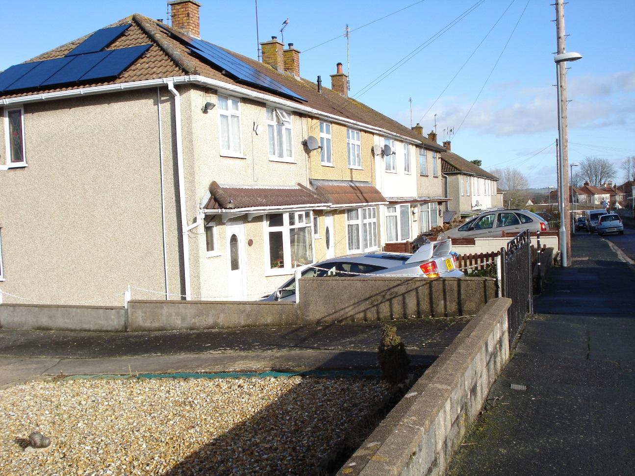
The Almshouses in the Bristol Road
|
|
6
|
The Almshouses in the Bristol Road
|
|
6
|
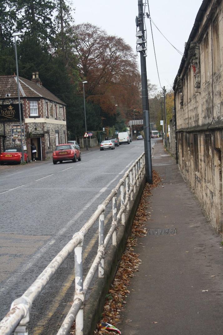
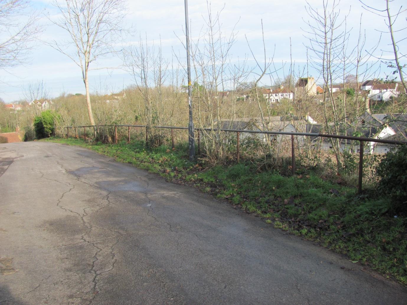
Modern electric telephone pole Sited directly outside Almshouses
|
|
6
|
image4
|
|
6
|
image5
|
|
6
|
image6
|
|
6
|
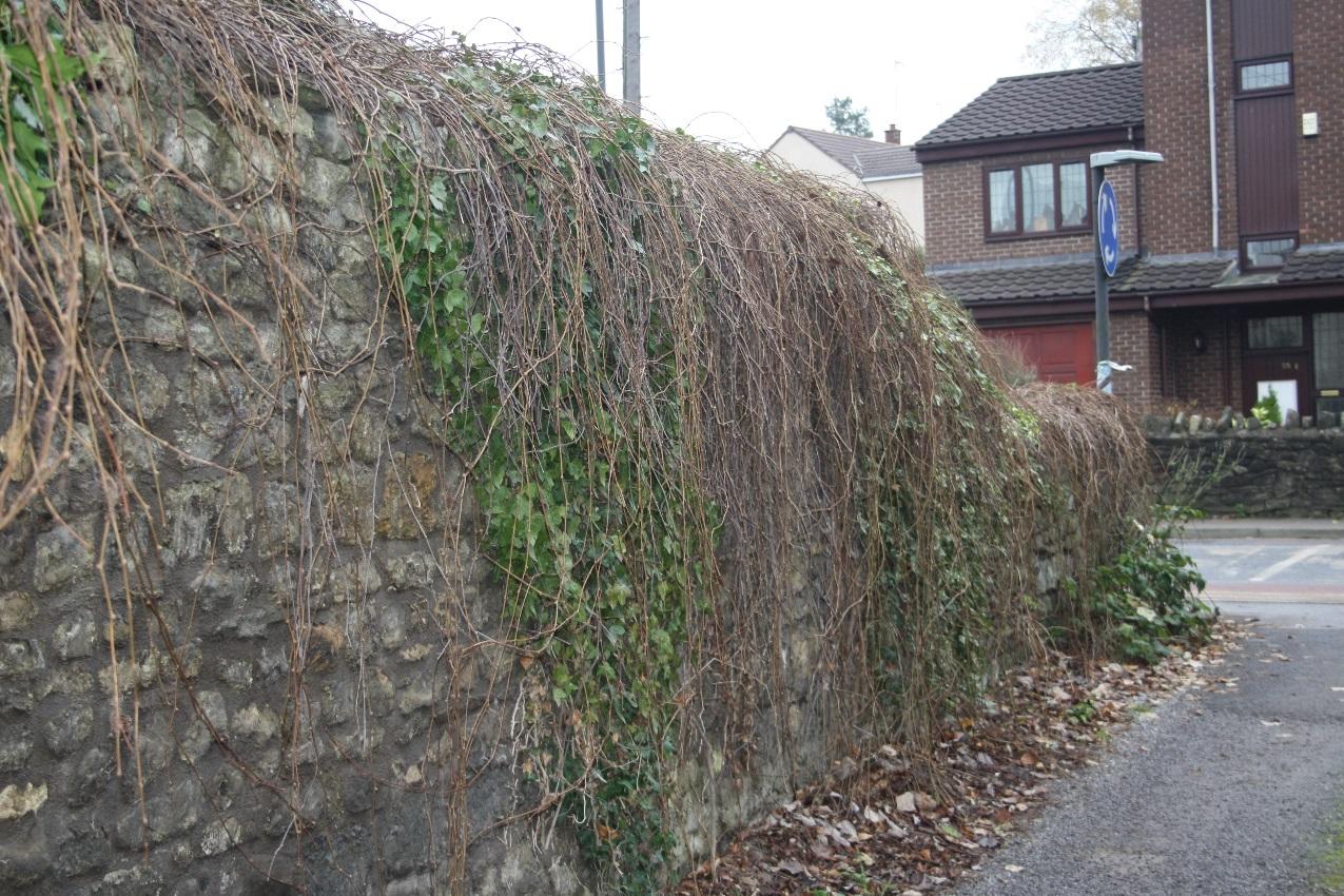
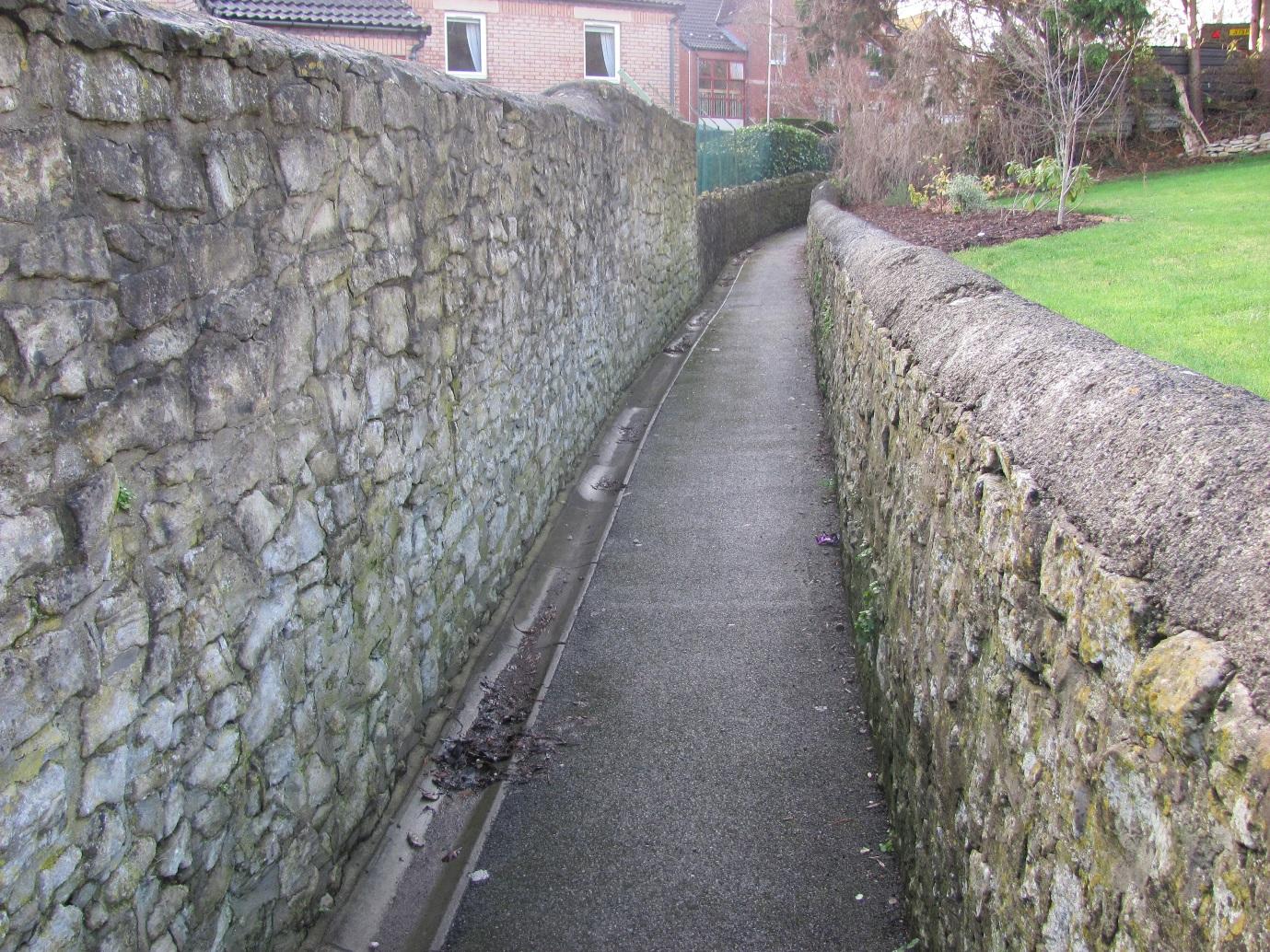
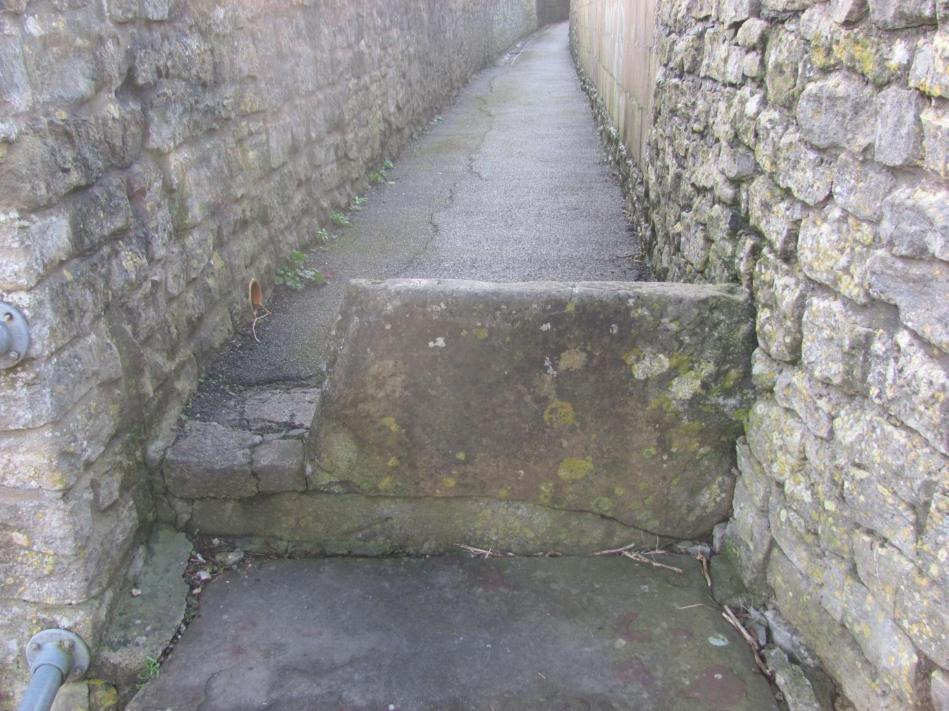
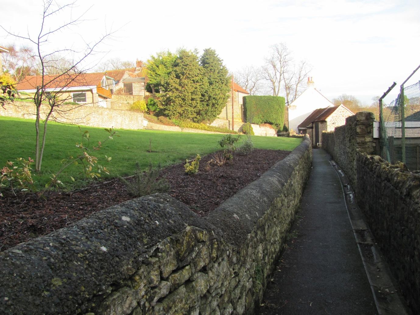
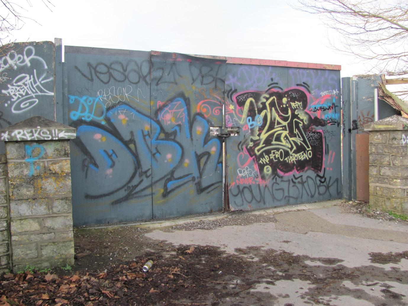
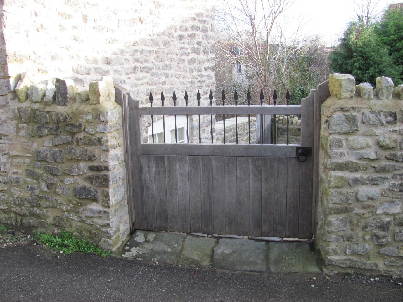
Old stone wall - in need of repair in place - near Trescothick Close
|
|
6
|
image8
|
|
6
|
image9
|
|
6
|
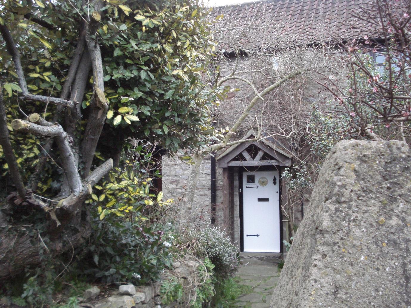
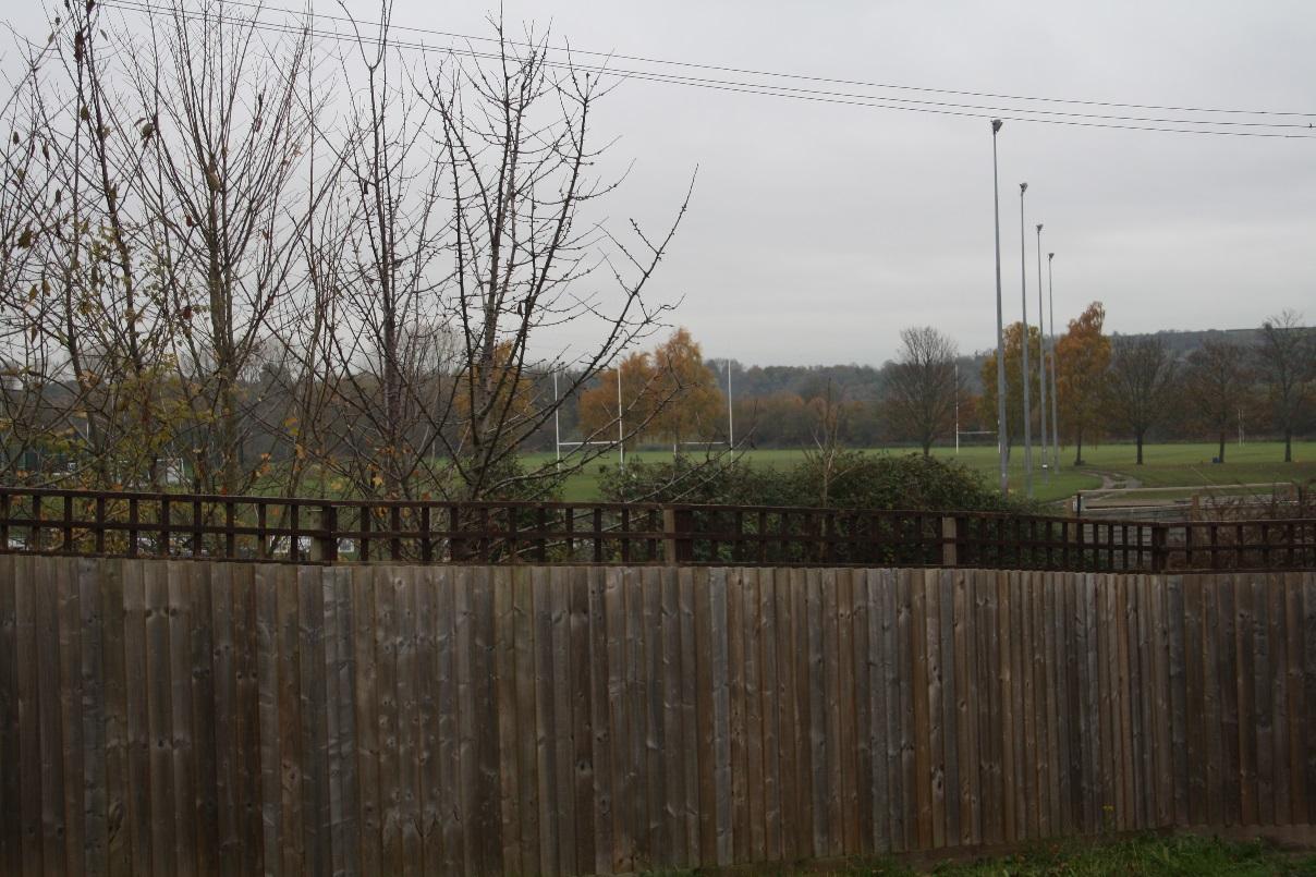
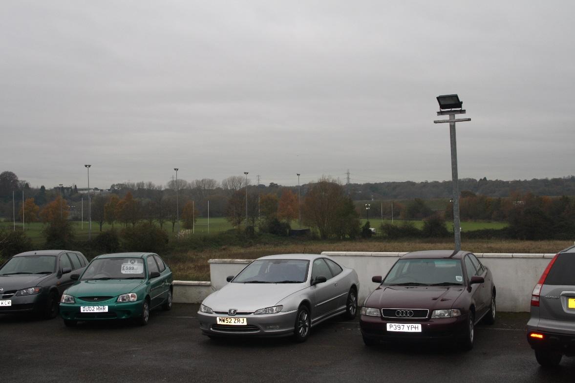
To the rear of St. Dunstans Church
|
|
6
|
To the rear of Trescothick Close
|
|
7
|
Old vicarage Green
|
|
7
|
image2
|
|
7
|
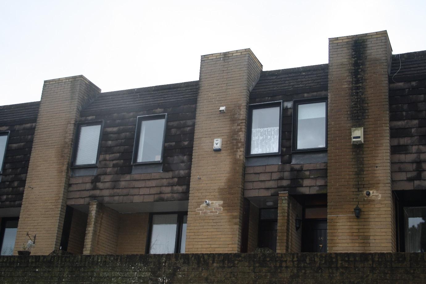
Above addition of odd vents, alarms external lighting
|
|
7
|
image4
|
|
7
|
image5
|
|
7
|
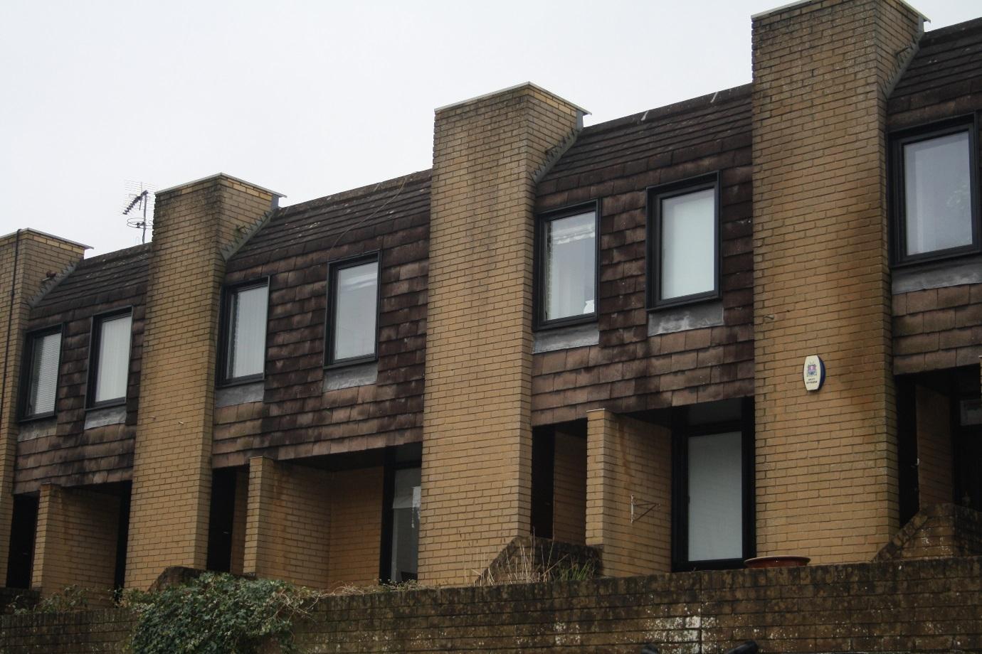
Original windows replaced by varying designs
|
|
7
|
image7
|
|
7
|
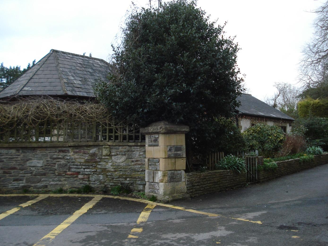
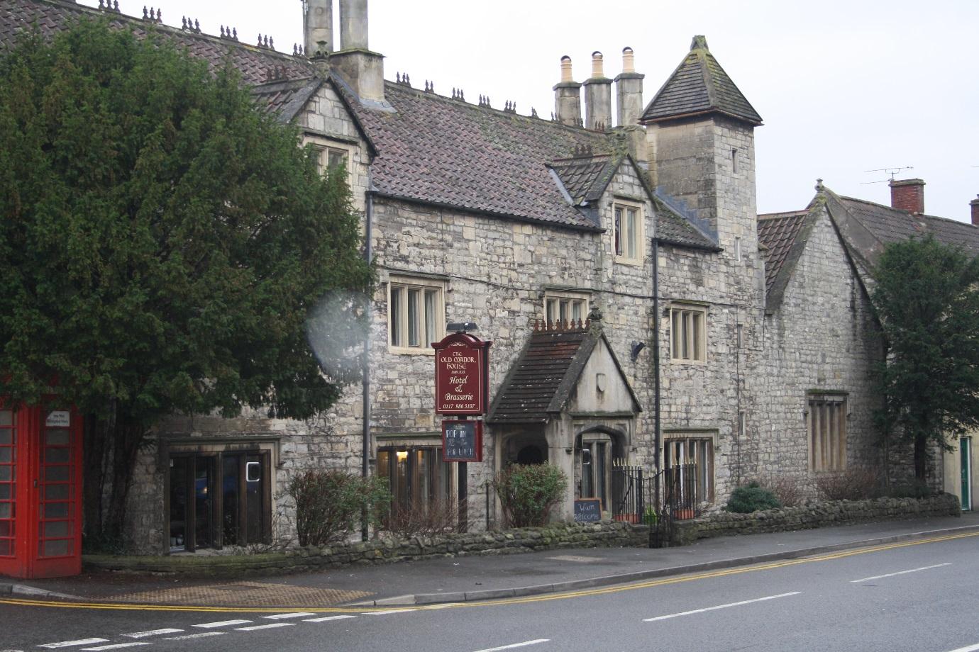
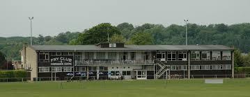
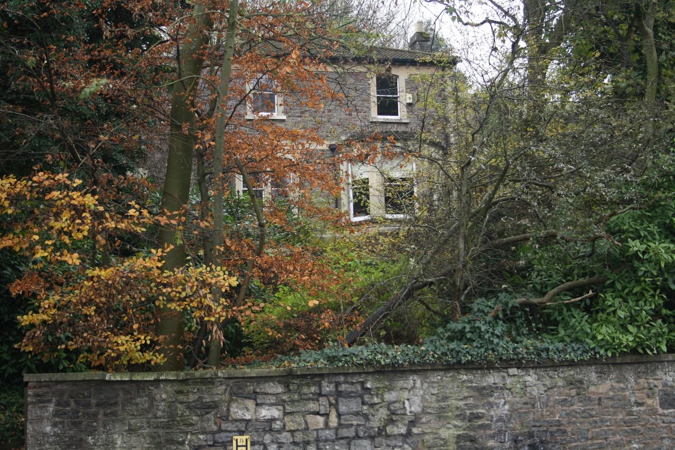
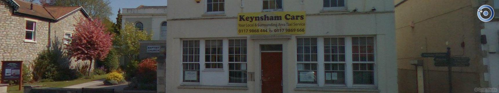
The old Manor House Hotel
|
|
13
|
image1
|
|
13
|
image2
|
|
13
|
image3
|
|
13
|
image4
|
|
13
|
image5
|
|
13
|
image6
|
|
15
|
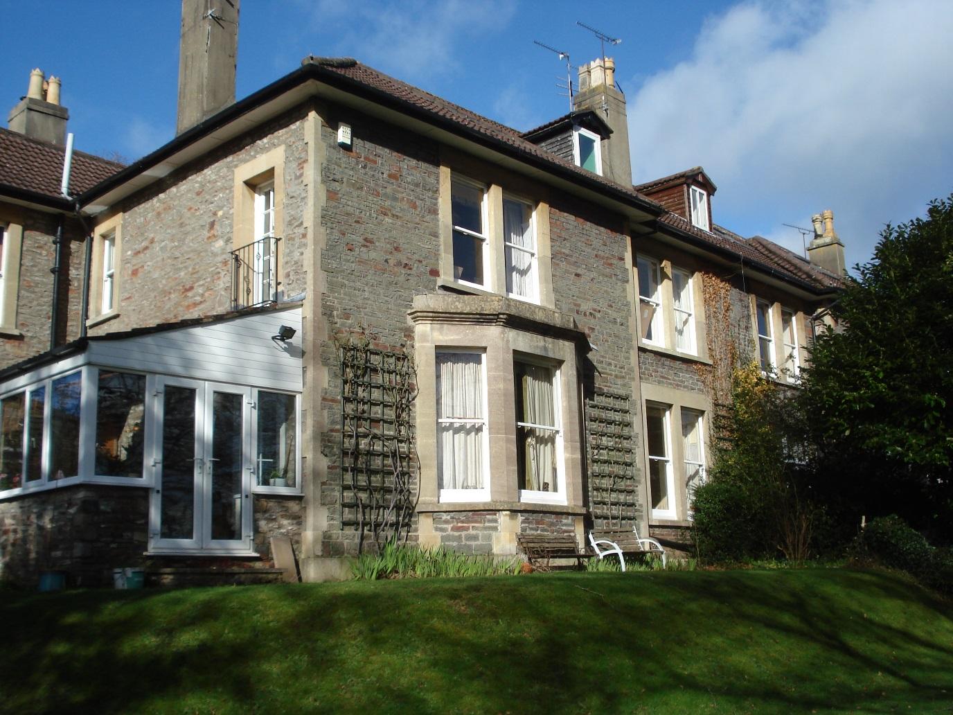
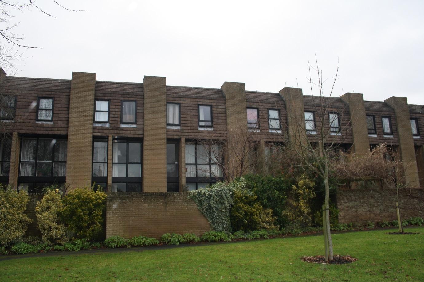
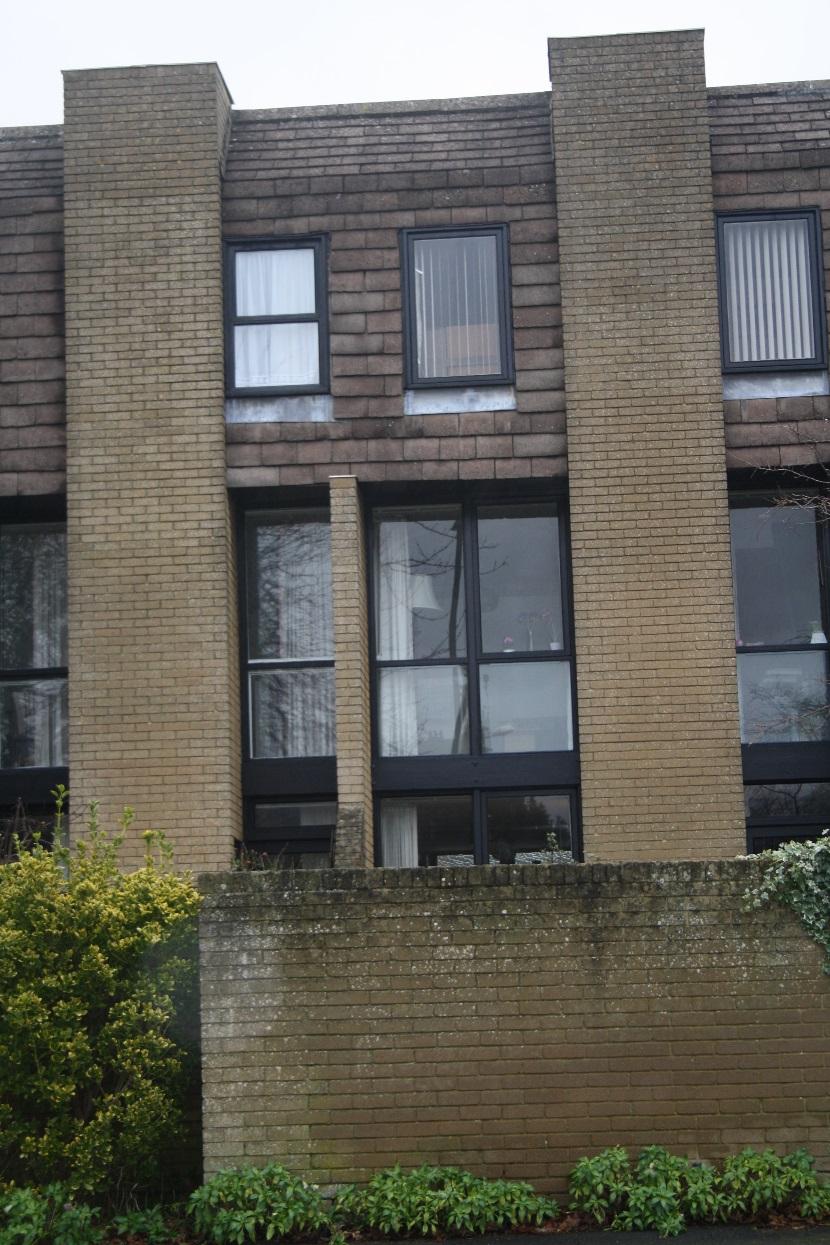
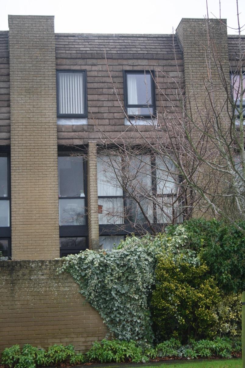
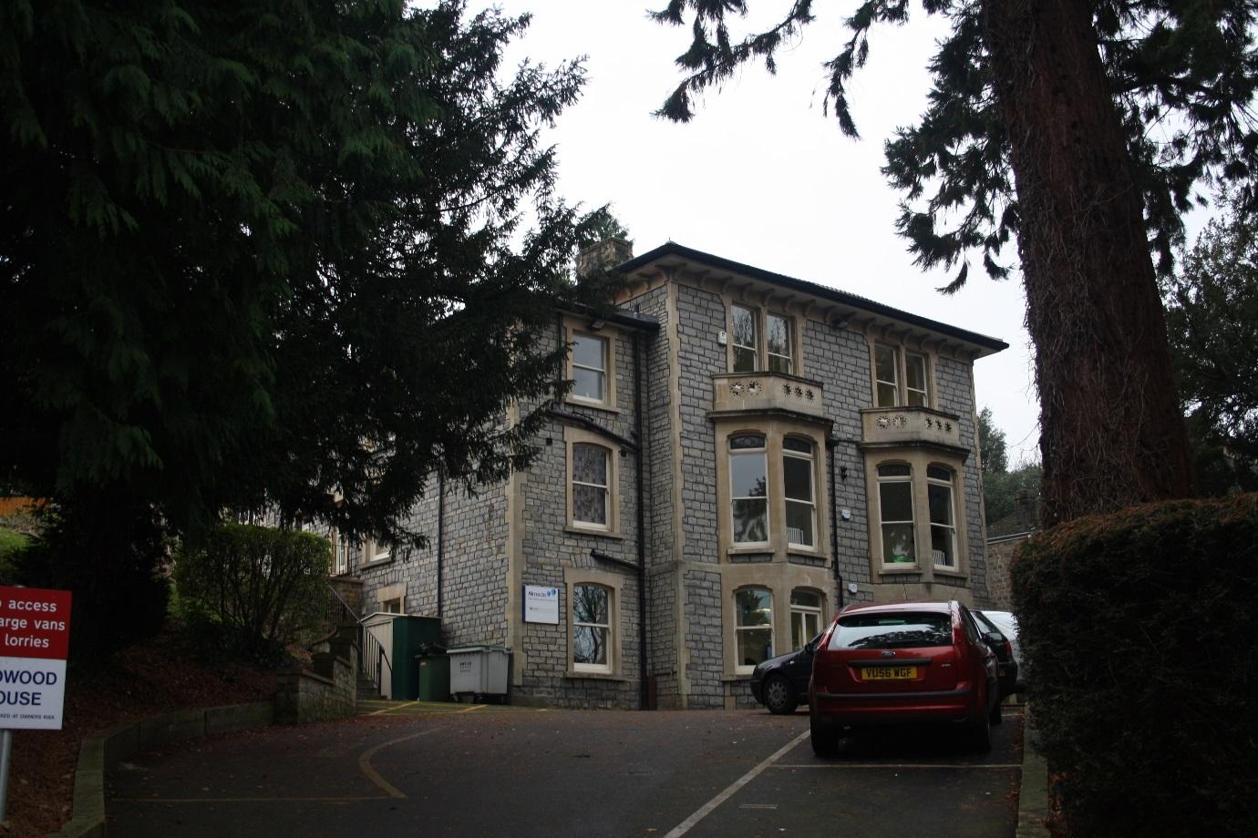
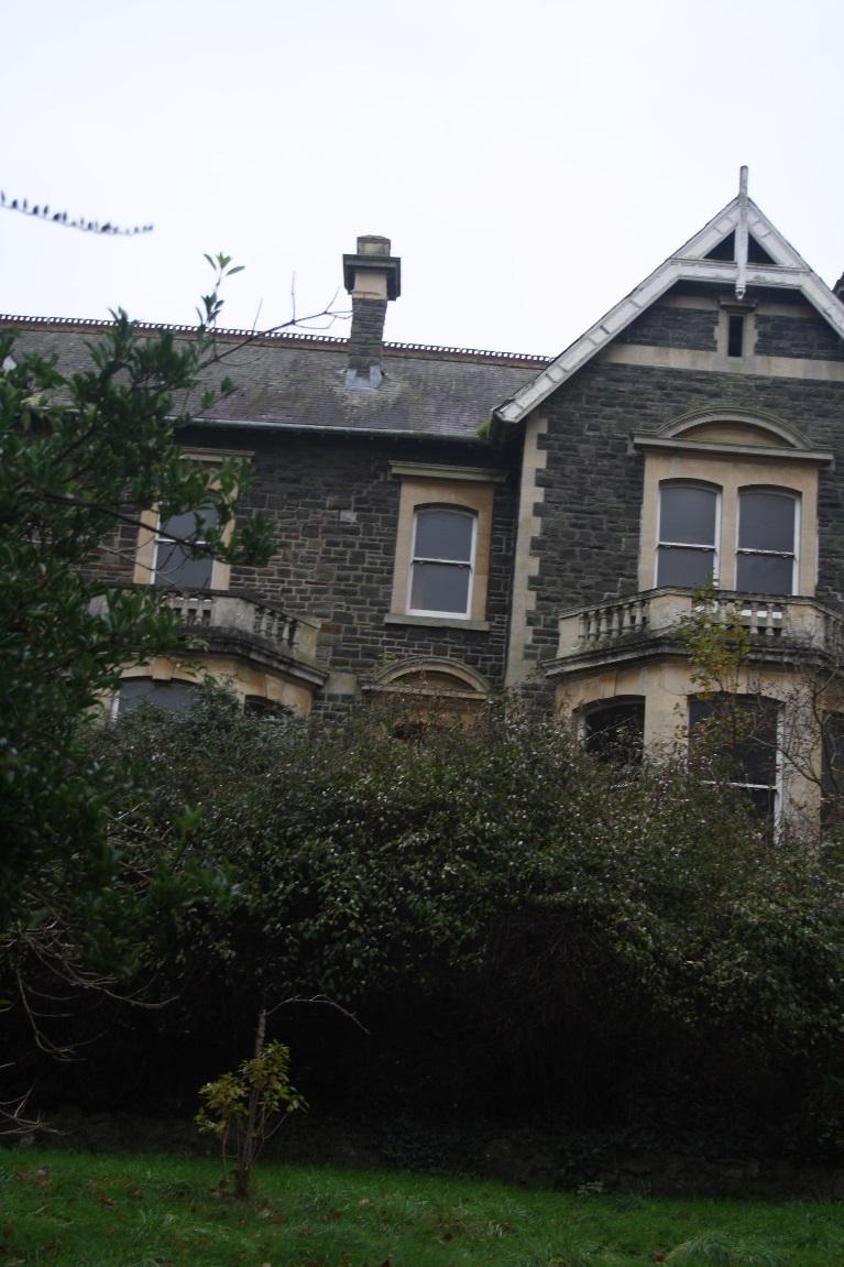
Redwood House
|
|
15
|
image2
|
|
15
|
image3
|
|
15
|
image4
|
|
15
|
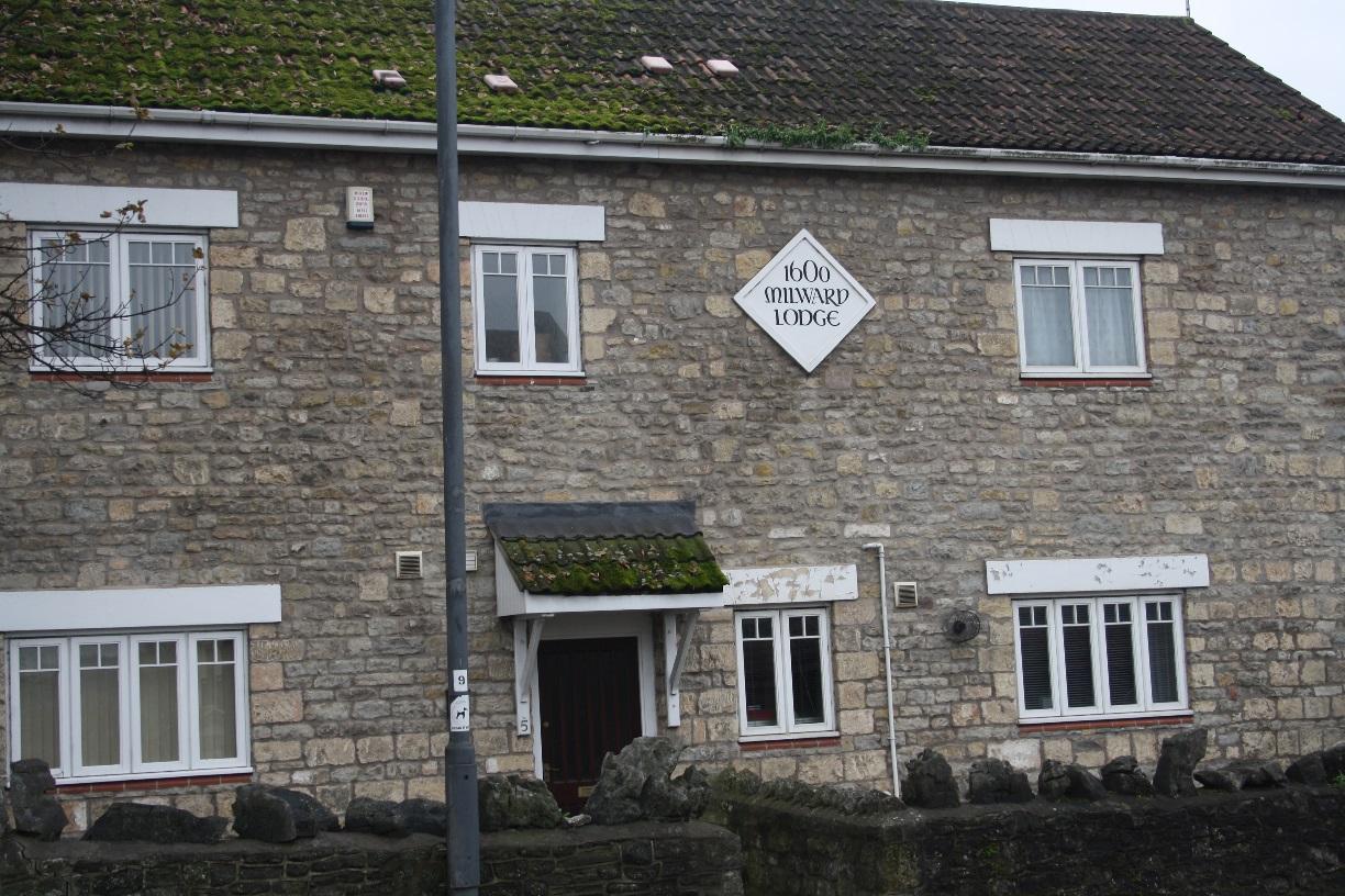
Milward Lodge
|
|
15
|
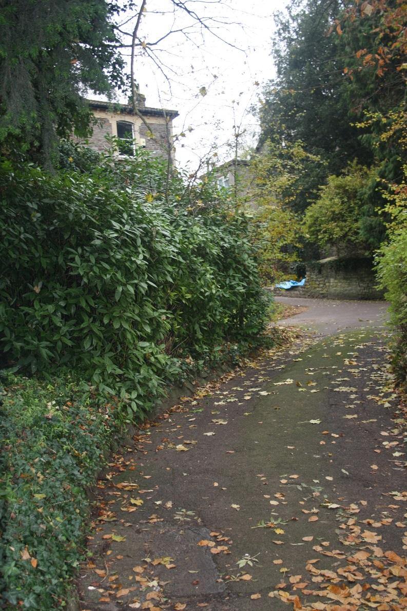
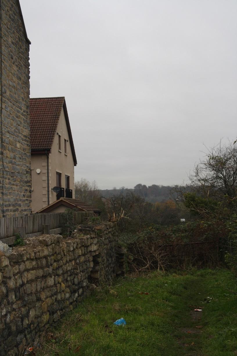
View to rear of Trescothick Close
|
|
33
|
image1
|
|
33
|
image2
|
|
33
|
image3
|
|
33
|
image4
|
|
33
|
image5
|
|
33
|
image6
|
|
33
|
image7
|
|
33
|
image8
|
|
33
|
image9
|
|
33
|
image10
|
|
33
|
image11
|
|
33
|
image12
|
|
44
|
image1
|
|
44
|
image2
|
|
44
|
image3
|
|
44
|
image4
|
|
44
|
image5
|
|
44
|
image6
|
|
44
|
image7
|
|
44
|
image8
|
|
44
|
image9
|
|
44
|
image10
|
|
44
|
image11
|
|
44
|
image12
|
|
44
|
image13
|
|
44
|
image14
|
|
47
|
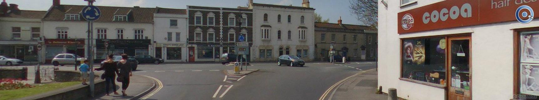
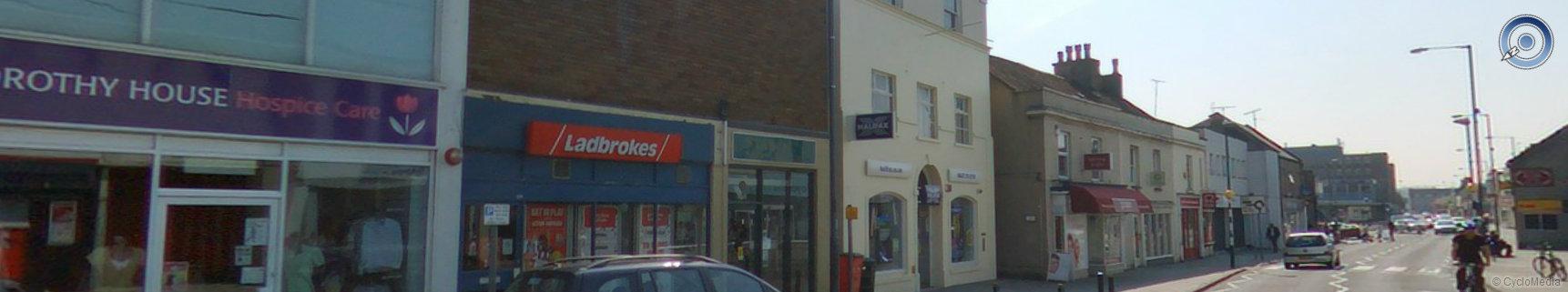
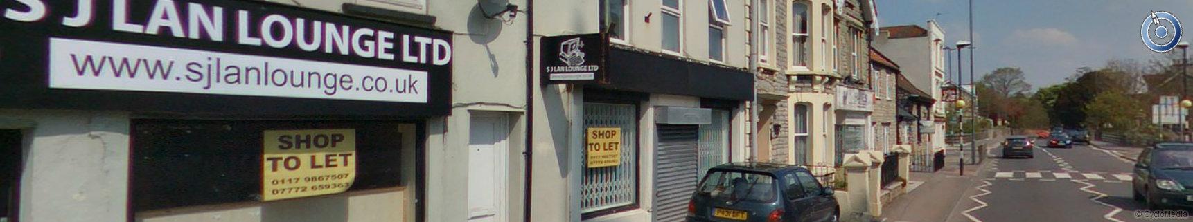
Start of the commercial and retail properties on the junction of Rock Road and Temple Street
|
|
47
|
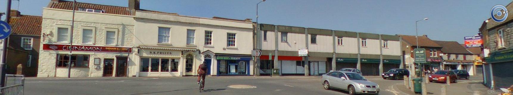
Grade II listed Cinnamon Restaurant and other commercial and retail properties in the conservation area on the junction of Bath Hill and the High Street
|
|
47
|
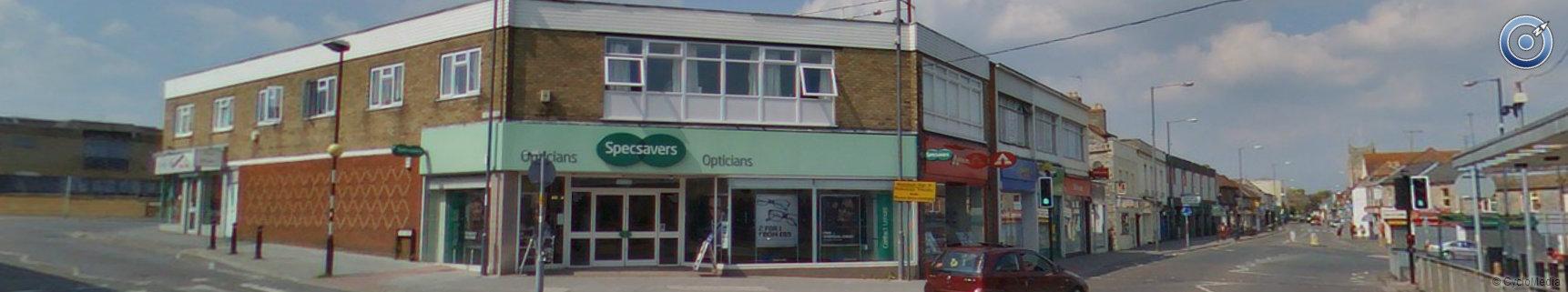
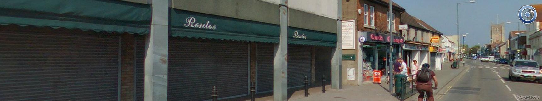
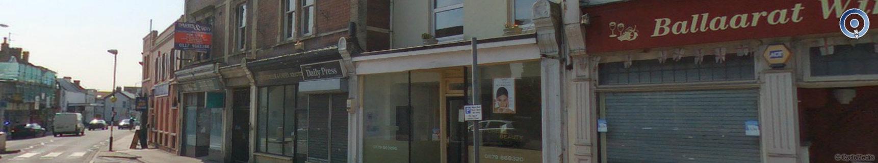
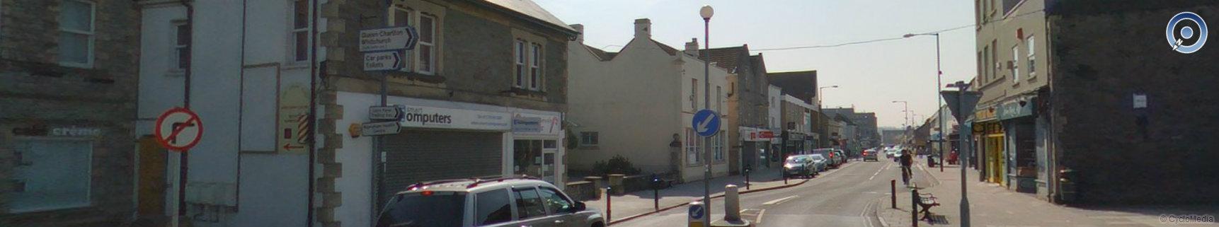
More retail properties on the High Street in the conservation area - Rontos is now Poundland
|
|
47
|
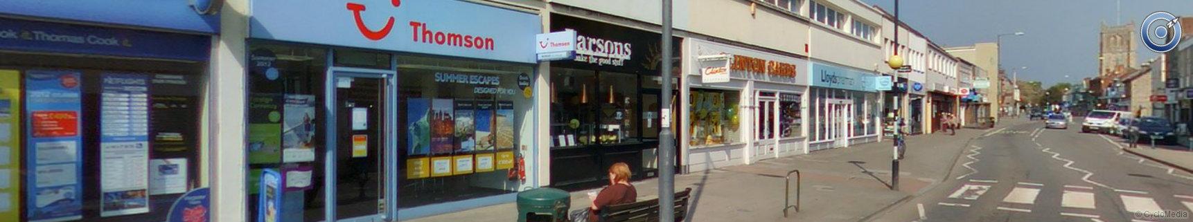
More retail properties on the High Street in the conservation area - Clinton Cards is now Costa Coffee
|
|
47
|
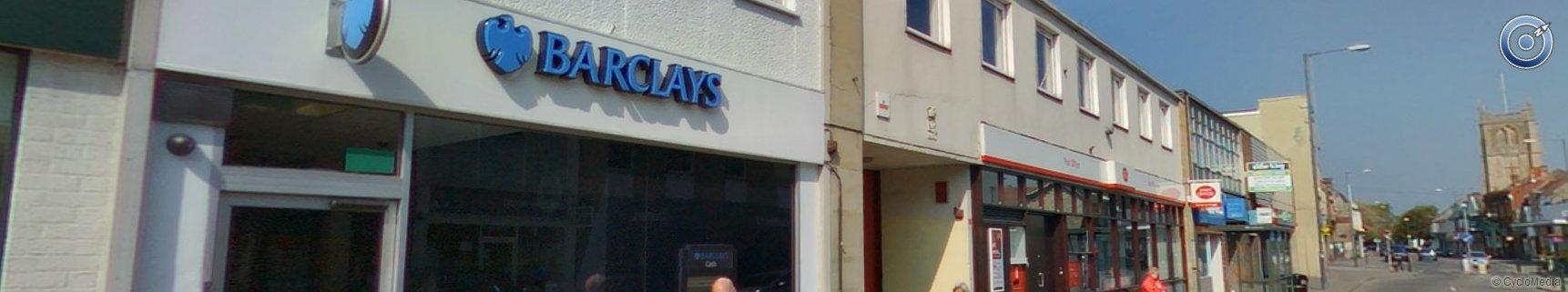
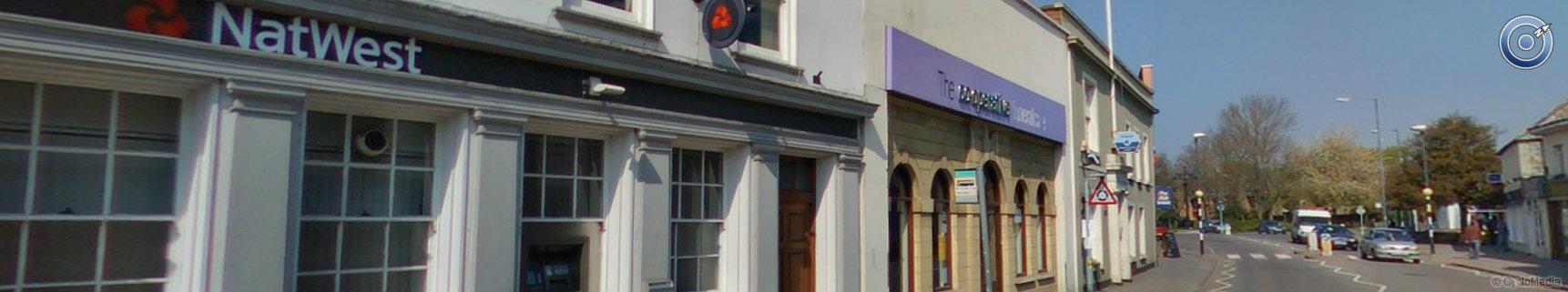
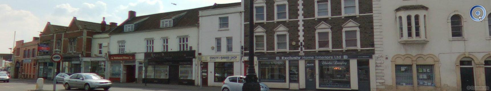
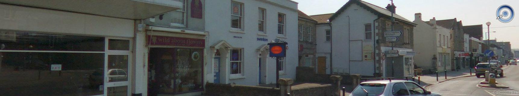
More retail/commercial properties on the High Street in the conservation area
|
|
47
|
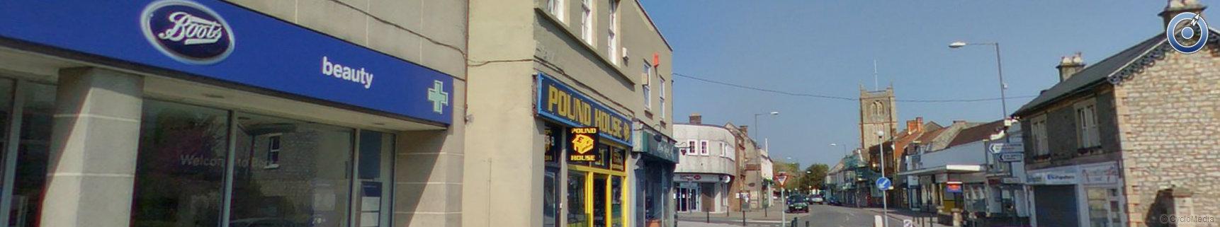
More retail properties on the High Street in the conservation area
|
|
47
|
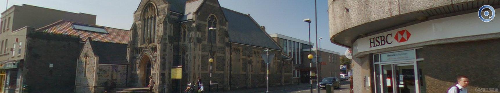
The Victoria Methodist Church on the junction of Charlton Road and the High street
|
|
47
|
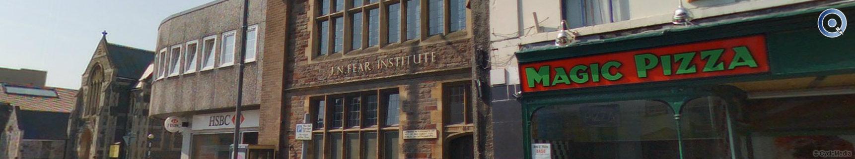
Magic Pizza has Grade II listing due to its Art Deco features
|
|
47
|
More retail properties on the High Street in the conservation area
|
|
47
|
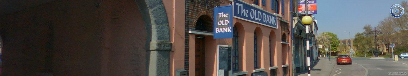
Grade II listed Old Bank Public House and the archway between numbers 20 - 22 High Street
|
|
47
|
More retail properties on the High Street in the conservation area
|
|
47
|
Ornate Victorian lamp post within the conservation area of Keynsham
|
|
47
|
More retail properties on the High Street in the conservation area viewed from Station Road
|
|
47
|
image14
|
|
47
|
Grade II listed Milward House
|
|
47
|
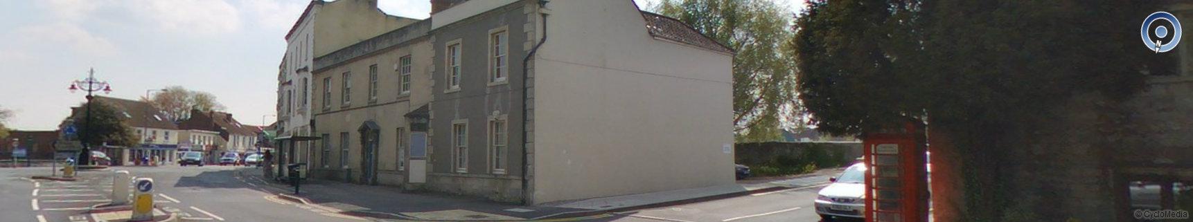
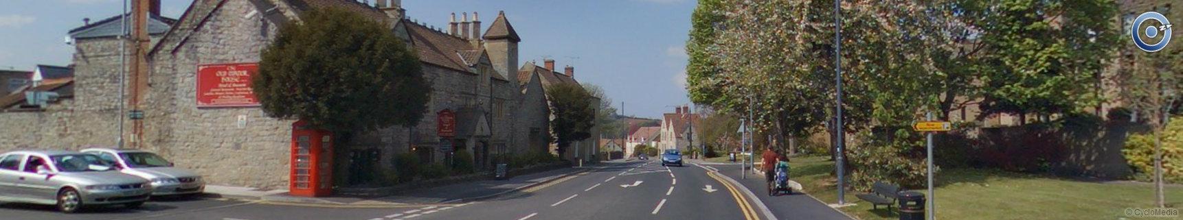
Grade II listed Old Manor House and K6 Telephone box Bristol Road within the conservation area
|
|
54
|
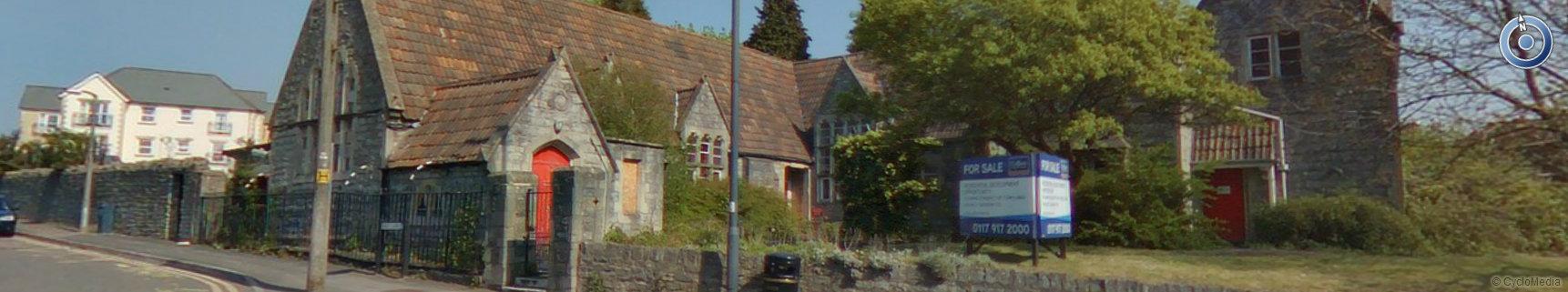
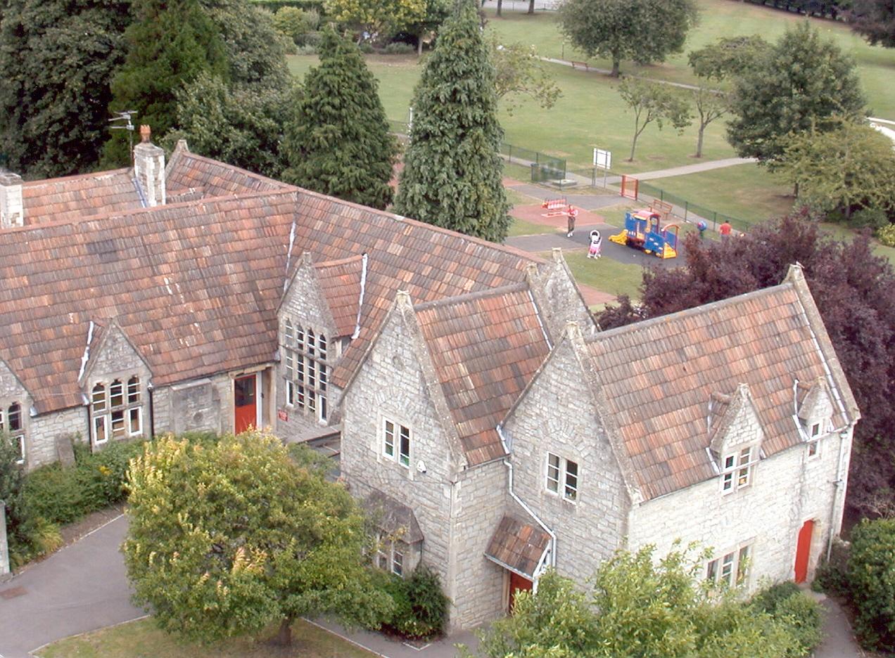
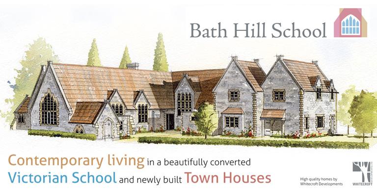
The Old School Bath Hill - Victorian dates - Opened 1860 - Closed 2009 - now converted into residential properties
|
|
54
|
 |
|
54
|
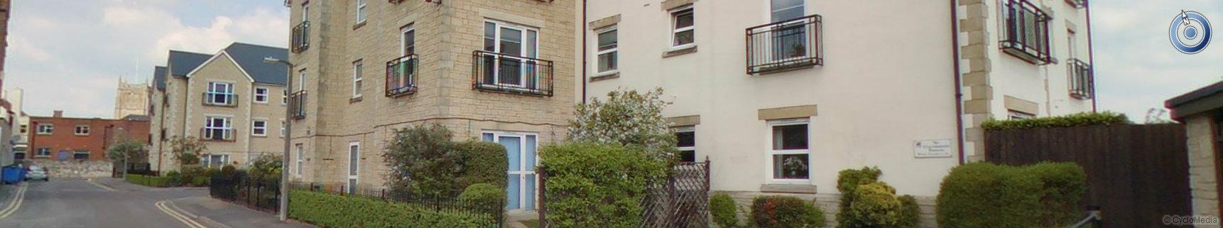
Residential and commercial properties on Bath Hill
|
|
54
|
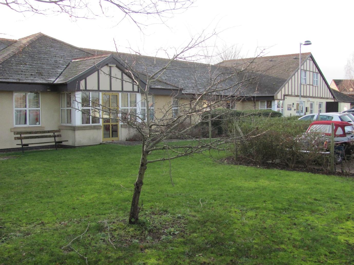
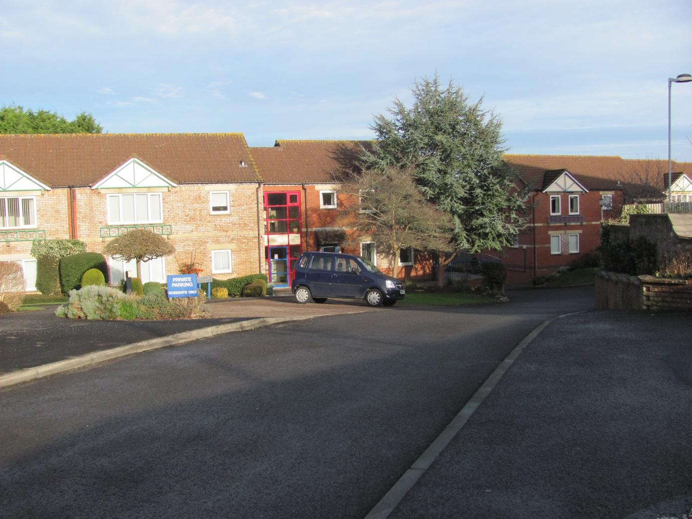
Residential properties (retirement homes) in Back Lane
|
|
54
|
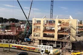
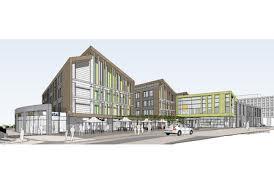
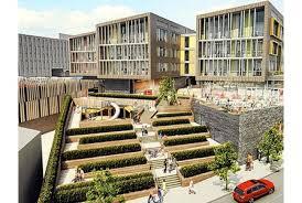
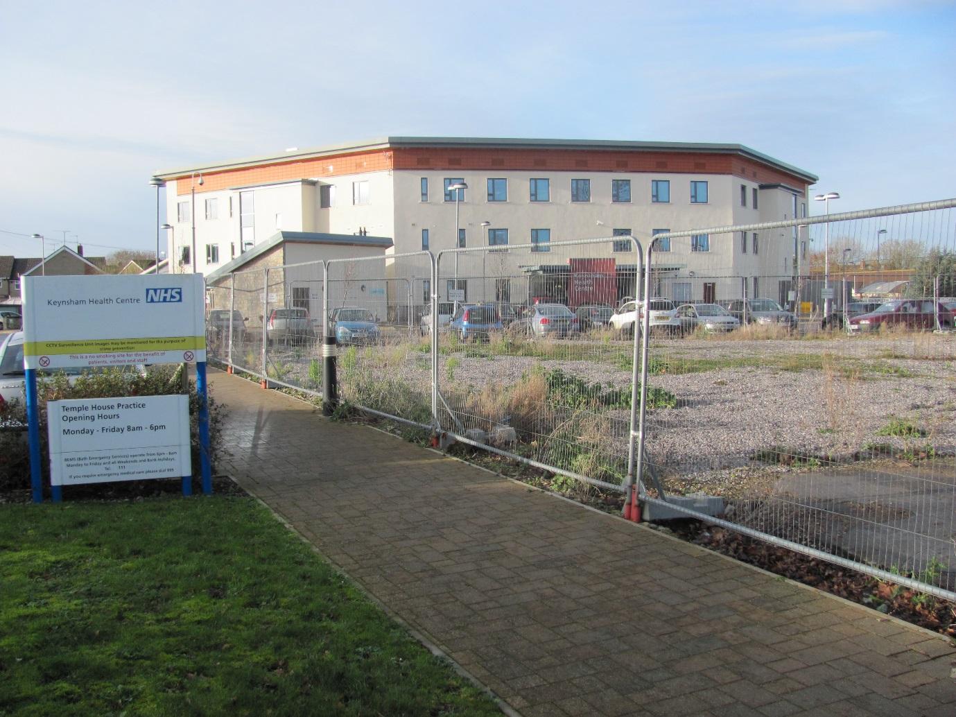
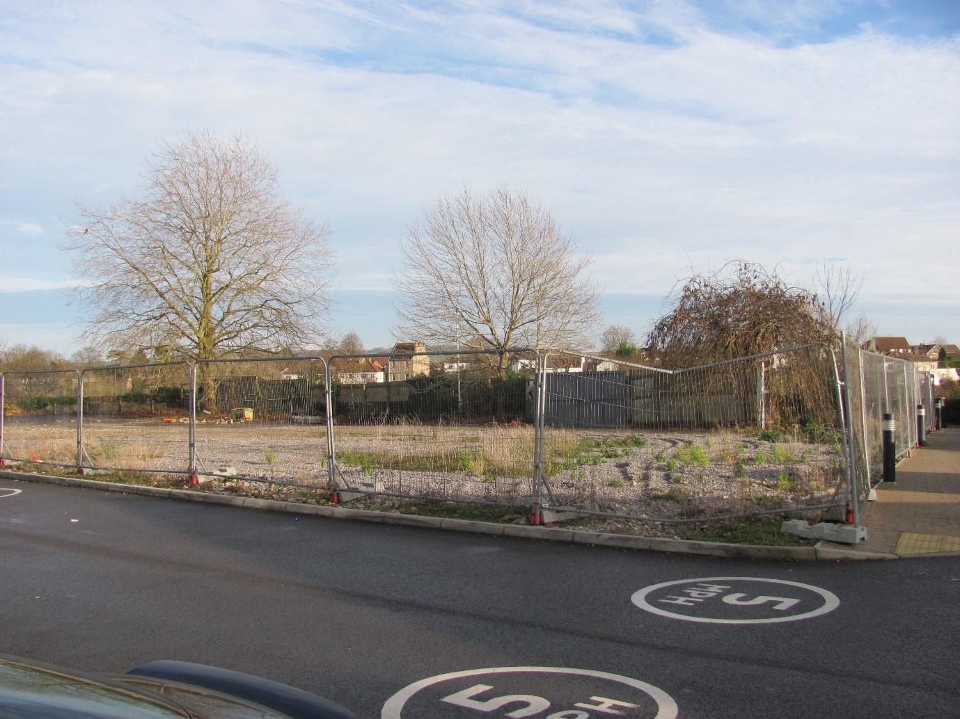
The old centre - now demolished - redevelopment under construction 2013 - 2014
|
|
54
|
image6
|
|
54
|
image7
|
|
54
|
image8
|
|
54
|
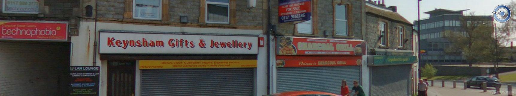
Commercial properties on the junction of Bath Hill and High Street - Charcoal Grill is now Keynsham Fish and Chip shop and Keynsham Gift and jewellery is a vacant store (as at January 2014)
|
|
54
|
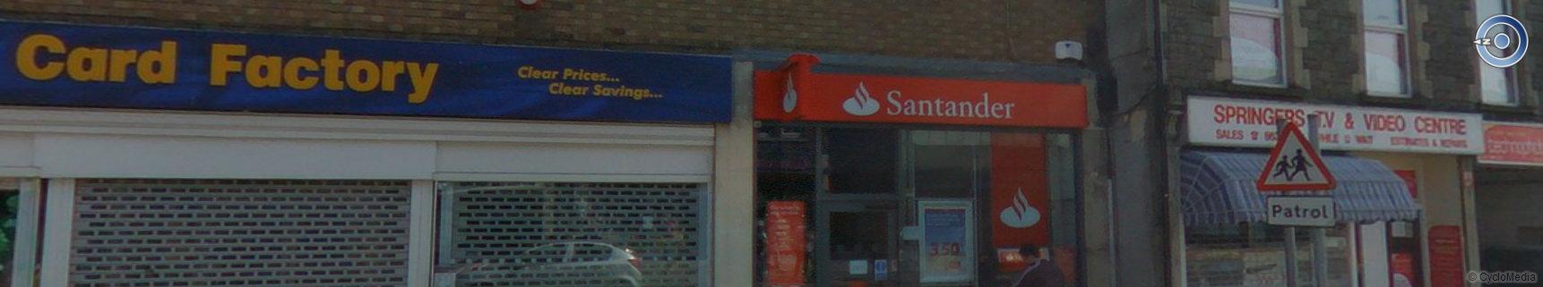
High Street retail within the conservation area
|
|
54
|
image11
|
|
54
|
image12
|
|
54
|
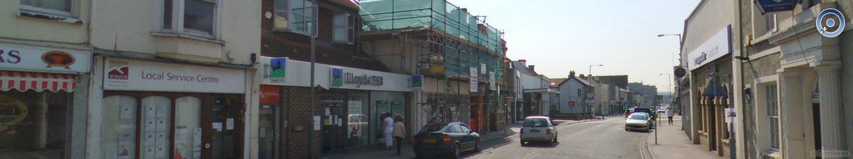
Empty old Lloyds Bank Building and to the left Grade II listed Baptist church (Ebenezer Chapel)
|
|
54
|
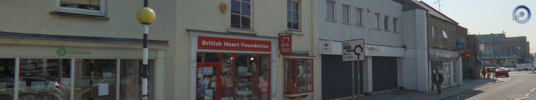
More High Street retail within the conservation area.
|
|
54
|
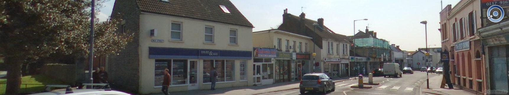
More High Street retail and commercial within the conservation area. Empty shop on the left is now Timber craft
|
|
54
|
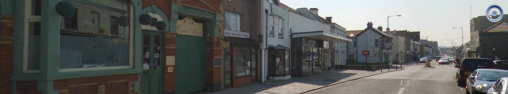
The wine bar and other retail/commercial premises on the High Street
|
|
54
|
image17
|
|
54
|
image18
|
|
54
|
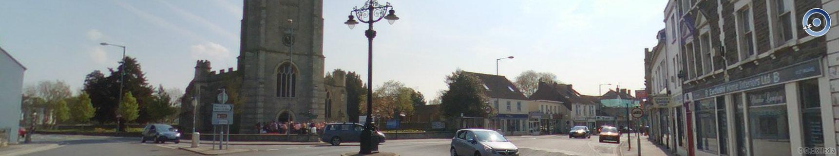
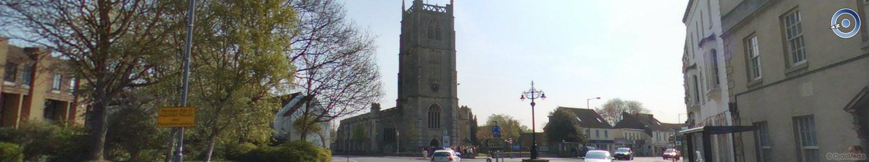
Grade II* Church of St. John the Baptist built around 1250
|
|
54
|
Residential and commercial properties in station road within the conservation area
|
|
54
|
image21
|
|
64
|
image1
|
|
64
|
image2
|
|
64
|
image3
|
|
64
|
image4
|
|
64
|
image5
|
|
64
|
image6
|
|
64
|
image7
|
|
64
|
image8
|
|
64
|
image9
|
|
64
|
image10
|
|
64
|
image11
|
|
64
|
image12
|
|
64
|
image13
|
|
64
|
image14
|
|
64
|
image15
|
|
64
|
image16
|
|
64
|
image17
|
|
64
|
image18
|
|
64
|
image19
|
|
64
|
image20
|
|
64
|
image21
|
|
64
|
image22
|
|
64
|
image23
|
|
71
|
image1
|
|
71
|
image2
|
|
71
|
image3
|
|
71
|
image4
|
|
71
|
image5
|
|
71
|
image6
|
|
71
|
image7
|
|
71
|
image8
|
|
71
|
image9
|
|
71
|
image10
|
|
71
|
image11
|
|
71
|
image12
|
|
71
|
image13
|
|
71
|
image14
|
|
71
|
image15
|
|
71
|
image16
|
|
71
|
image17
|
|
71
|
image18
|
|
71
|
image19
|
|
71
|
image20
|
|
73
|
image1
|
|
73
|
image2
|
|
73
|
image3
|
|
73
|
image4
|
|
78
|
image1
|
|
78
|
image2
|
|
78
|
image3
|
|
78
|
image4
|
|
99
|
image1
|
|
99
|
image2
|
|
107
|
image1
|
|
107
|
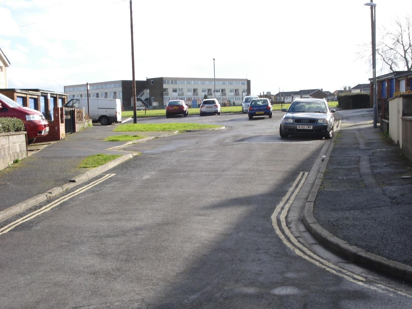
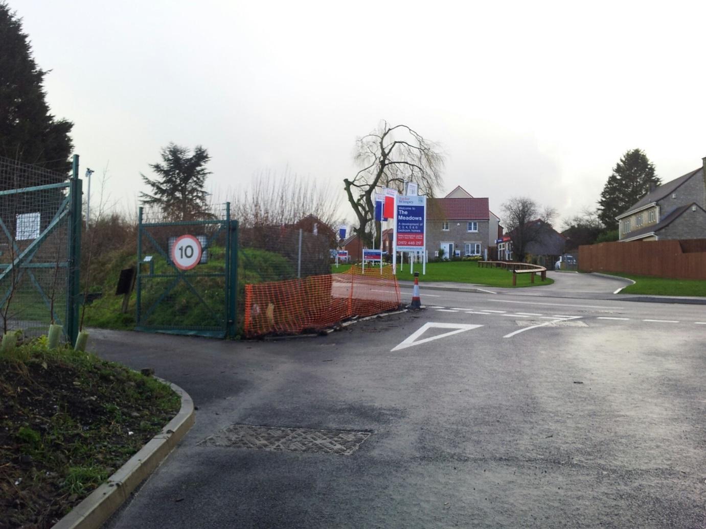
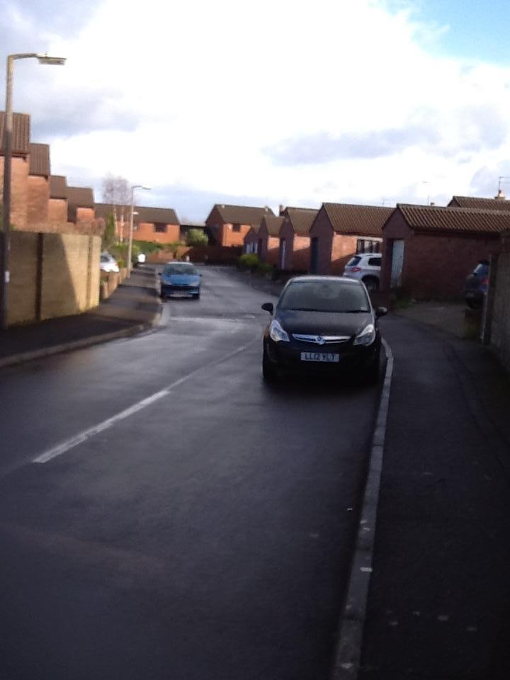
View from Lytes Cary Road towards Martock Road
|
|
107
|
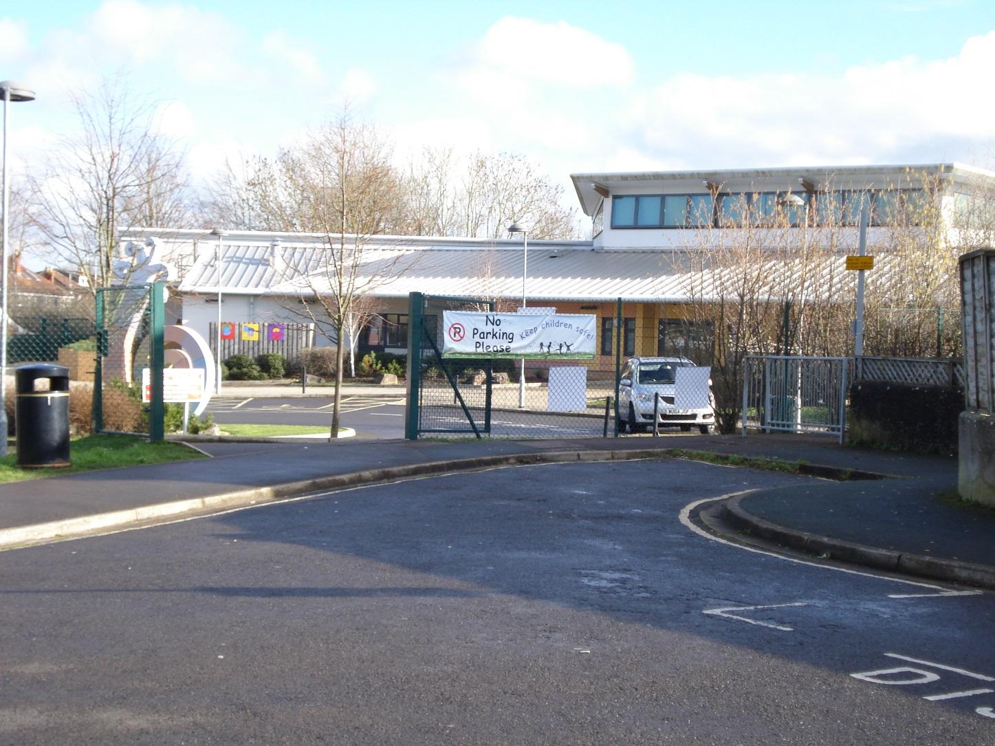
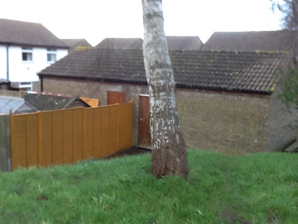
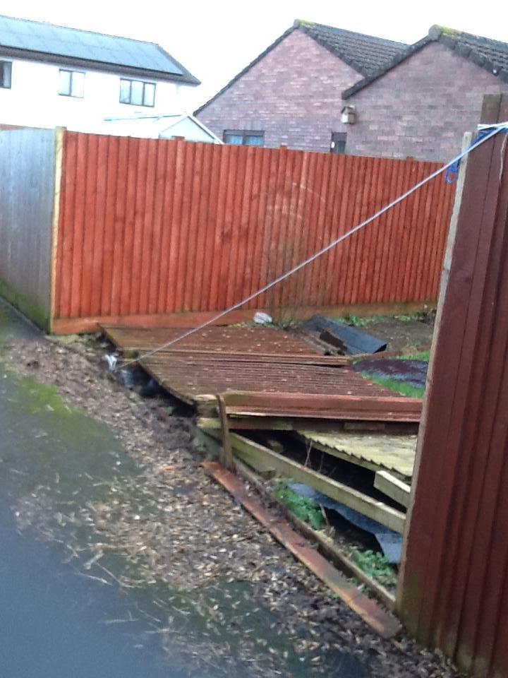
Pathway from Banwell Road to Lytes Cary Road showing storm damage
|
|
107
|
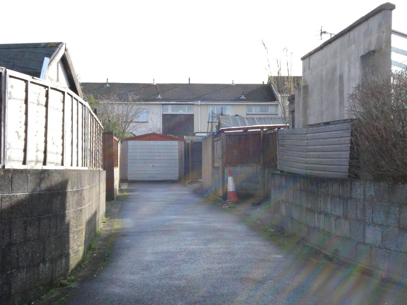
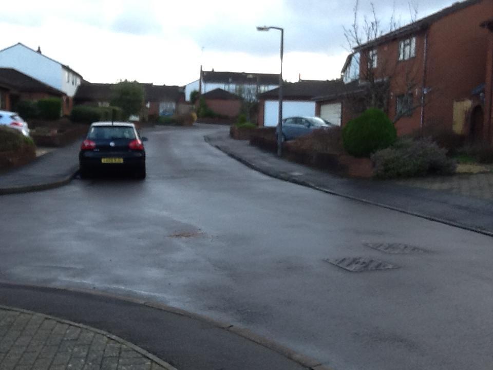
Lytes Cary Road
|
|
107
|
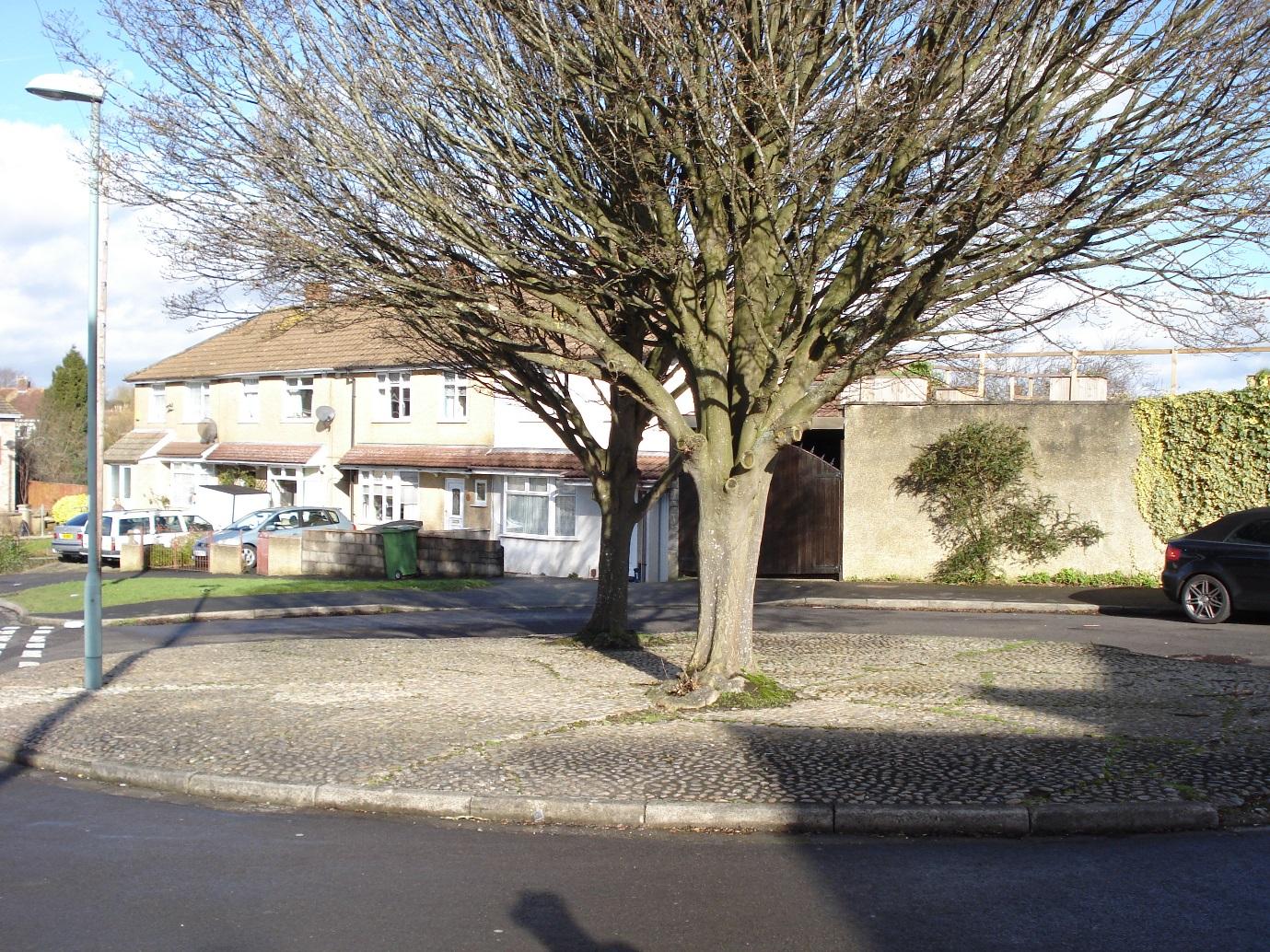
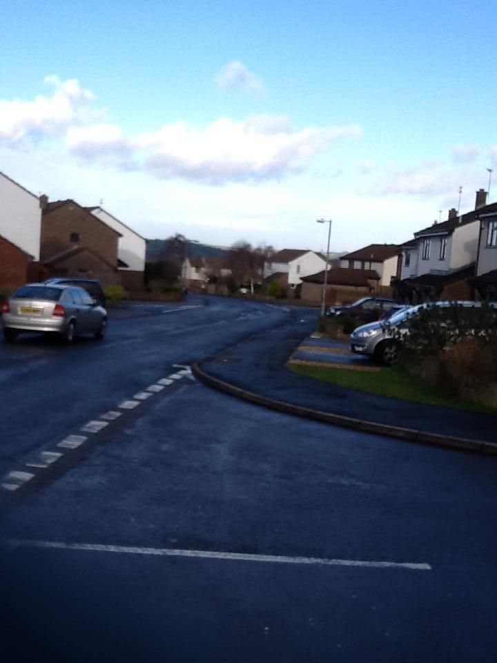
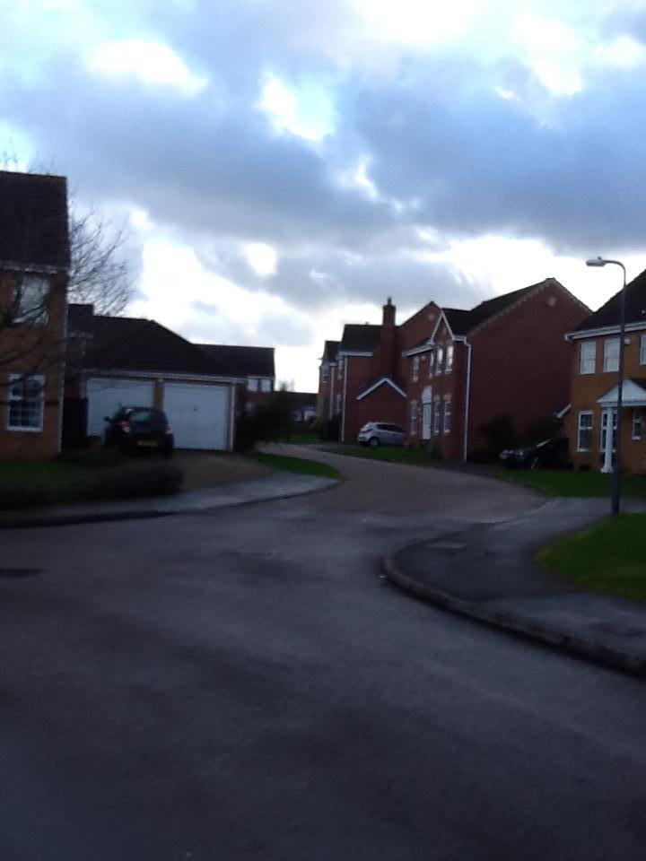
Hutton Close
|
|
108
|
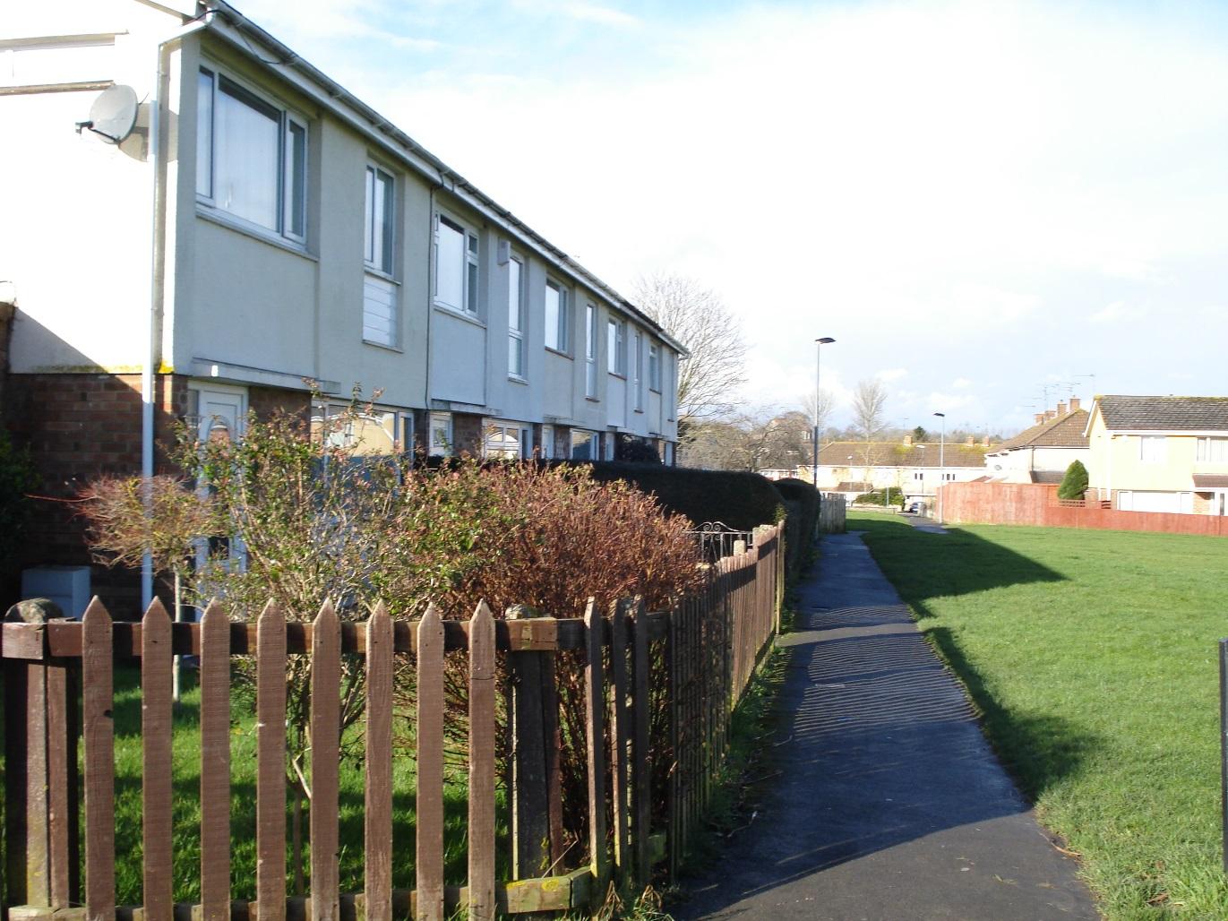
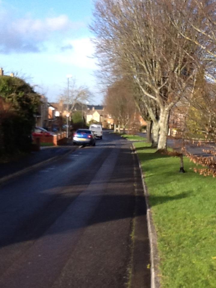
Chalfield Close
|
|
108
|
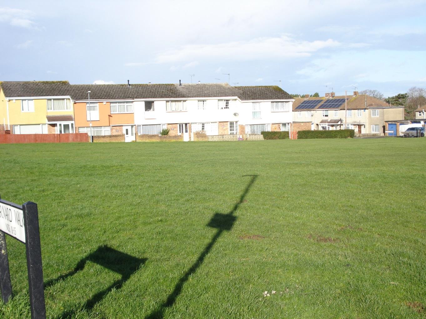
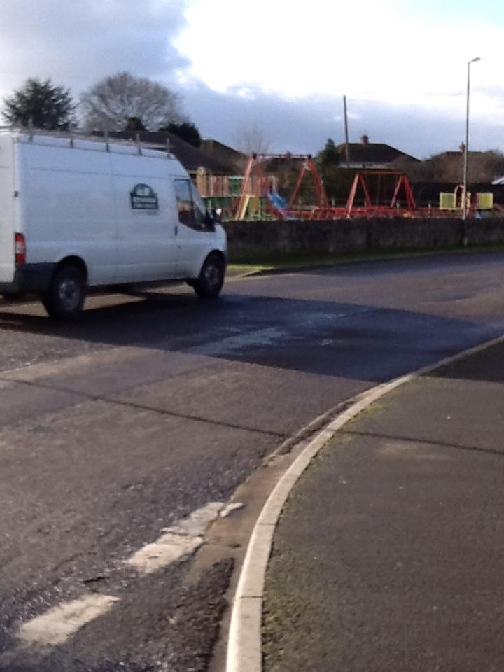
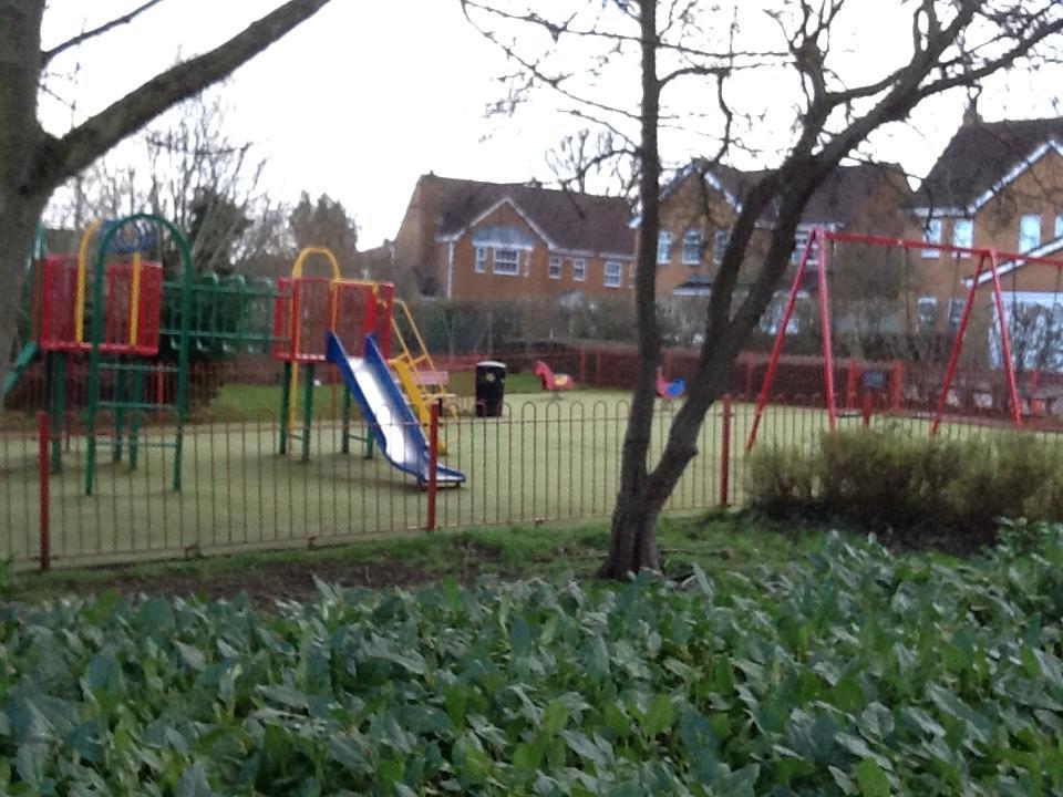
Play area Chalfield Close
|
|
108
|
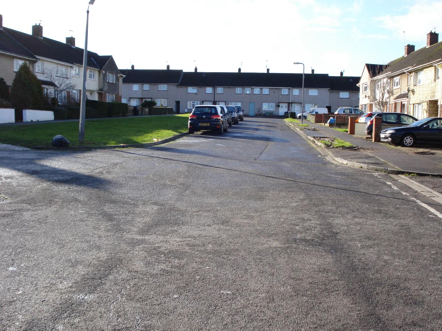
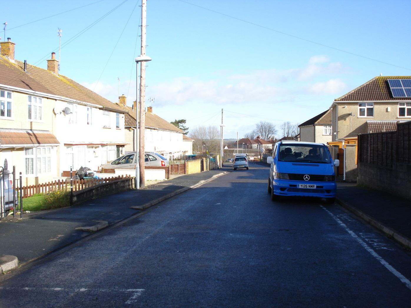
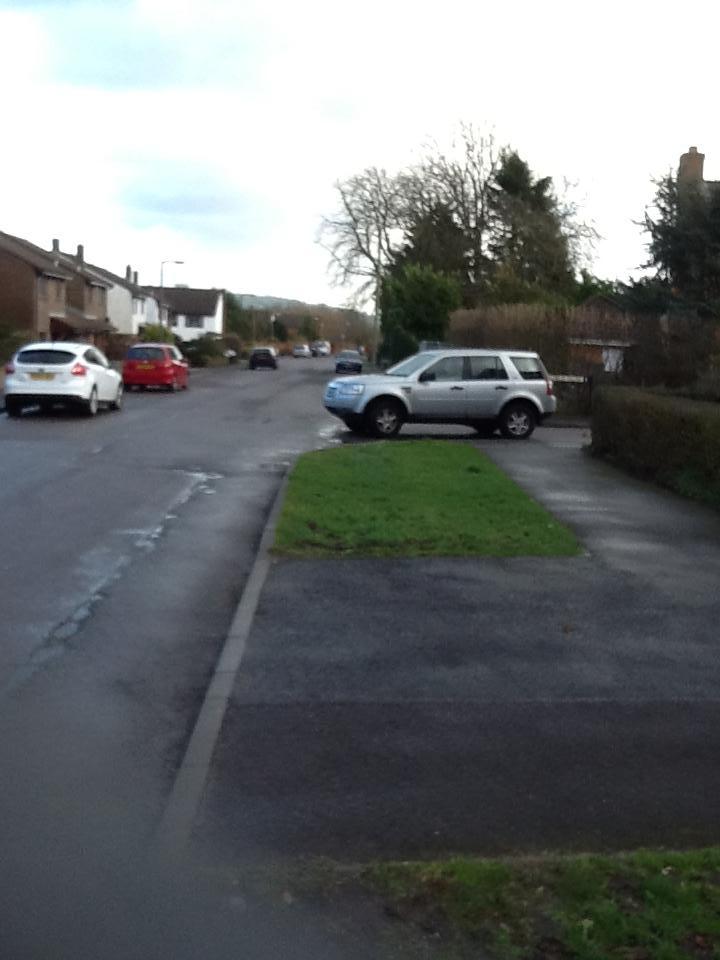
view along Courtney Road
|